Tschiertschen - Uf Forest - Earth Pyramids - Molinis (12)


Details
Description
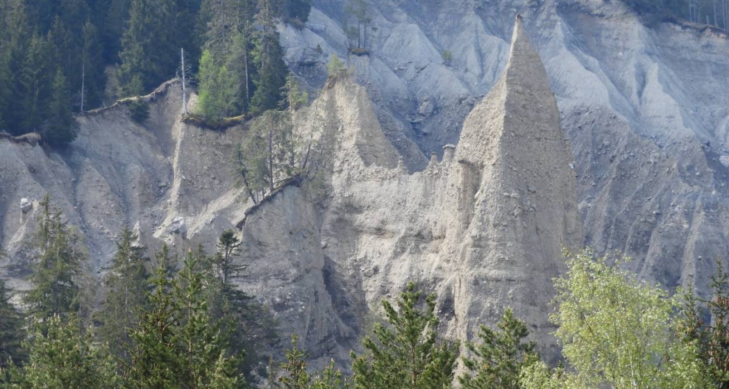
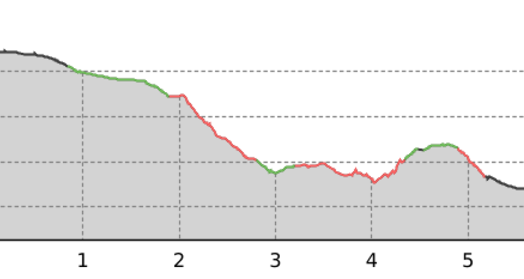
From the village centre (1343 m above sea level) M), the path leads through the "Enderdorf" and then slightly downhill to the "Sagenbach", which can be reached at the old sawmill (1300 m above sea level). M). Follow the road to "Rüttenen" (1278 m above sea level). M), where the mountain hiking trail branches off to the left and continues as a path track in alternating gradients to "Uf Wald" (1107 m.a.s.l. M) in the pasture area of the "Gadenstett". From here you can reach the ravine of the "Gross Bach" via "Cania" and the flanks of the "Canier Eggen". After a steep ascent, you reach "Usser Zana" (1130 m above sea level). M) again joins the road, but after only a few metres it leaves it again to the right onto the mountain hiking trail. Here you will pass the impressive earth pyramids - works of art of a very special nature! Shortly before Molinis you get back on the road and cross it in a few minutes to the bridge over the "Plessur" (1041 m above sea level). M) and to the village centre of Molinis (1050 m above sea level). Here you choose the mountain hiking trail again, i.e. branch off to the right and climb to the RhB station St.Peter/Molinis (1157 m.a.s.l. M).
Geheimtipp
Responsible for this content Info Tschiertschen-Praden.
This content has been translated automatically.