Tschiertschen - Usser Urden - Alpstein (05)


Details
Description
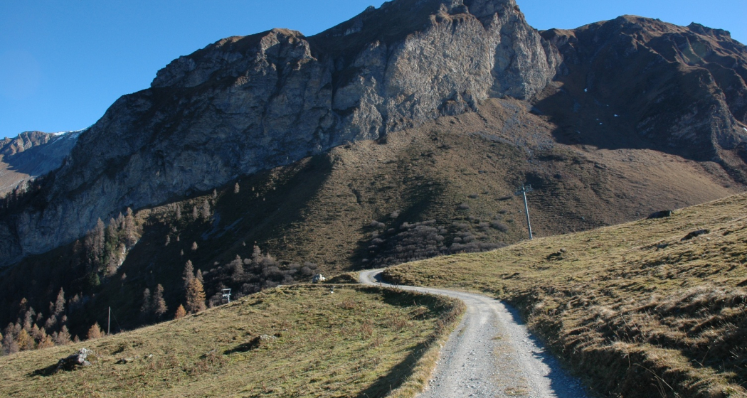
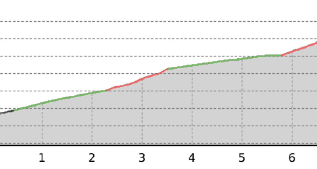
From the village centre (1343 m above sea level) M) to the junction into the Urdental at the "Bleiswald" and on to the ruins of the old alp "Usser Urden" (1972 m.a.s.l. Here the path branches off to the right and leads towards the new Alp "Usser Urden" (2009 m.a.s.l. About 150 m before the Alpstafel, the route leaves the alpine path to the left in the direction of the "Alpstein". Via more or less pronounced paths, but well marked throughout, you reach the saddle (2274 m.a.s.l. M) south of the summit and from there in a short ascent to the "Alpstein" (2298 m above sea level). M) with its magnificent panoramic view. Descent options include the described ascent route via "Usser Urden" and, especially for enduring and experienced hikers, the wonderful ridge walk via "Tschingla" (2443 m above sea level). M) to the "Farurfurgga" (2431 m above sea level). M). From there, the descent to Tschiertschen can take place via "Inner Urden" through the Urdental or via the "Obersäss" through the Farur valley.
Responsible for this content Info Tschiertschen-Praden.
This content has been translated automatically.