Churer Joch Trail
Difficult
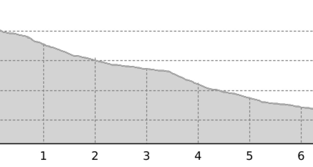
7.2 km
0:20 h
0 mhd
1394 mhd


Show all 3 images

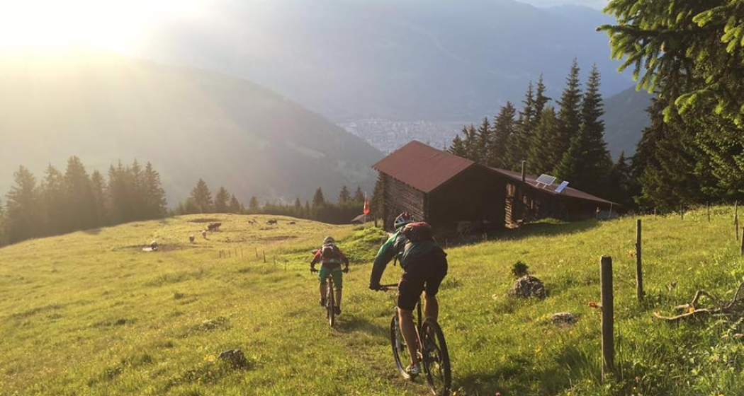
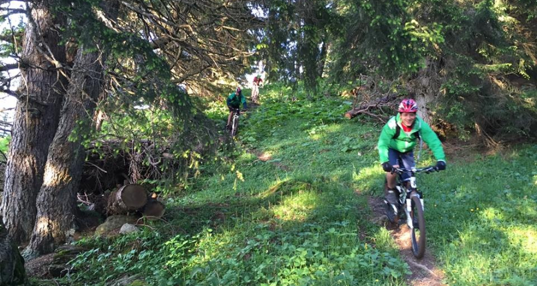
Steep and technically towards the Alpine City.
Best Season
Jan
Feb
Mär
Apr
Mai
Jun
Jul
Aug
Sep
Okt
Nov
Dez
Coordinates
46.80462, 9.570357
Details
Description
The Joch Trail is legendary. It leads in a rather direct line from the yoke towards the city of Chur. And it is steep, technical, rooty and demands a lot from the bike and its rider.
Responsible for this content Chur Tourism.

This website uses technology and content from the Outdooractive platform.