E-Bike & Hike Fürhörnli / Montalin


Show all 4 images

Details
Description
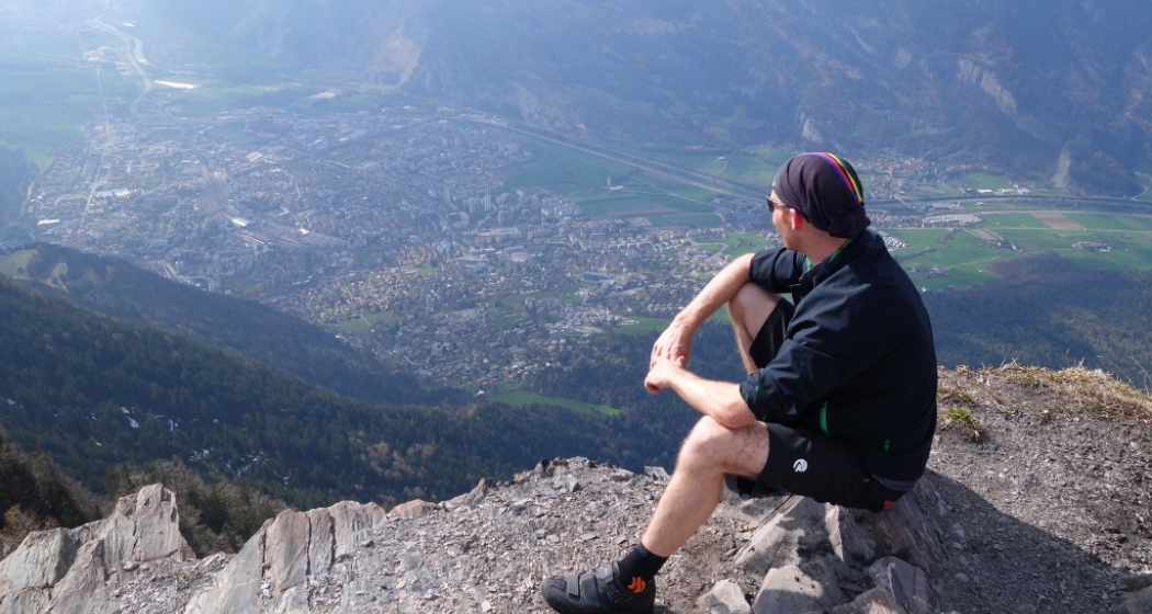
From Chur, you pass the cathedral on the Arosa road up to the beautiful Walser village of Maladers, at the beginning of the Schanfigg valley. From there, a relatively steep forest road leads through the woods and over beautiful alps with magnificent views into the long valley. Without e-drive a hard piece of work for the legs and even with drive you are challenged depending on the support level. But it is worth it. At the hamlet of Lamärs at 1,739m, the trail continues on foot and is really steep, before the final traverse along the mountain flank and finally forward to the summit of the Fürhörnli. The final passage and the summit are exposed, so caution is advised. From the Fürhörnli, which towers like a balcony above the city of Chur, a magnificent panorama reveals itself.
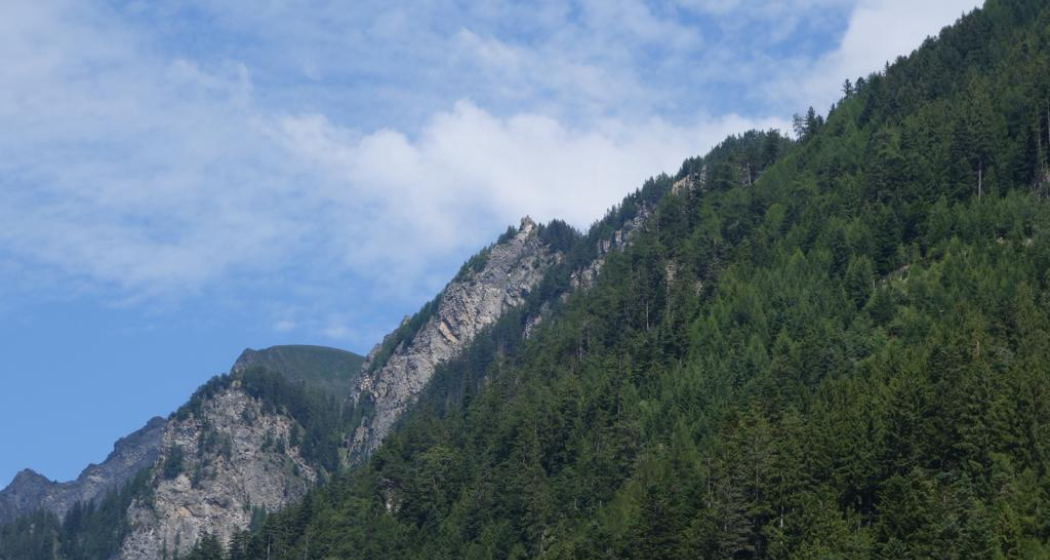
If you want to go even higher, follow the blue signpost on the alpine hiking trail via Saldein and up through the steep flank to the summit of Montalin after the steep foot climb. Good footwear and surefootedness is a prerequisite for the ascent. The panorama, on the other hand, is even more impressive up here and it is not uncommon to see ibexes in the steep western flanks of the Montalin.
The descent follows the same route. For technically experienced mountain bikers who still have reserves, there are also various trail options from the Fürhörnli or via MIttenberg back to Chur.
Directions
Directions
Public Transport
Anreise Information
Parking
Responsible for this content Graubünden Ferien.
