Name plural
Theme SUI
Original Name
Theme SUI
discover.swiss ID
sui_root

Experience the Cabins high above the Chur Rhine Valley

Medium
29.2 km
12:25 h
2285 mhd
2179 mhd
Ringelspitzhütte
Calandahütte SAC

Show all 9 images

Blick vom Rossboden auf den Felsberger Calanda
Three-day hike along the fascinating mountain ranges of Calanda and the Ringelspitz massif, which is part of the UNESCO World Heritage Site Sardona.
Technique /6
Fitness 4/6
Highest Point  2084 m
Lowest Point  552 m
Best Season
Jan
Feb
Mär
Apr
Mai
Jun
Jul
Aug
Sep
Okt
Nov
Dez
Start
Haldenstein, station
Destination
Tamins, village
Coordinates
46.876883, 9.530665

Details

Description

The impressive alpine hut hike, rich in experiences and views, begins in the Chur Rhine Valley, in the village of Haldenstein opposite Chur. The mighty Calanda massif towers imposingly in front of the Alpine City. You can enjoy a gentle ascent into the beautiful nature and the view becomes more and more impressive the higher you climb. The ascebt to the Calanda hut is about 1,500 metres. Those who still have energy left at the top can also master the ascent to the summit of Haldensteiner Calanda. This is another 800 metres of altitude difference, but the panoramic view is more than worth it.

The next day, one crosses from the hut over the Felsberger and Taminser Älpli to the historic Kunkelspass. An ideal place to strengthen yourself in the Überruf mountain restaurant. One is now officially in the perimeter of the UNESCO World Heritage Sardona and can inform in detail about it in the information room next to the restaurant. The ascent to the Ringelspitzhütte follows, from where you have a great view of the UNESCO World Heritage Site and the clearly visible Glarus main thrust at the Ringelspitz summit. After the second overnight hut stay the descent follows through the picturesque Lavoitobel, which is characterised by alpine rocky landscapes and the idyllic Lavoi stream. Further down follows a leisurely descent through secluded forests until you finally reach the Rhine Valley again and the village of Tamins. From there you can easily reach the city of Chur and the main railway station for the return journey by bus.

Responsible for this content Chur Tourism.
Endurotour Antennatrail Brambrüesch

Difficult
11 km
1:00 h
183 mhd
1200 mhd
Antennatrail Brambrüesch

Show all 7 images

Antennatrail Brambrüesch
A classical enduro tour with a short uphill and a lot of downhill on very cool single trails.
Technique 4/6
Fitness 2/6
Highest Point  1764 m
Lowest Point  592 m
Best Season
Jan
Feb
Mär
Apr
Mai
Jun
Jul
Aug
Sep
Okt
Nov
Dez
Start
Brambrüesch, top of gondola station
Destination
Brambrüesch, top of gondola station
Coordinates
46.829107, 9.516011

Details

Description

Start at the gondola station in Chur, where rider and bike can enjoy the gondola ride and start fresh at Brambrüesch. After the short uphill to Malixeralp the upper part of the downhill uncovers a hidden trail gem. The lower part then follows the freeride trail «Chur Flow» of the Alpenbikepark Chur. End of the tour at the gondola valley station. If you like, just go for another round....

Responsible for this content Brambrüesch.

Fürhörnli / Montalin

Difficult
16.4 km
6:30 h
1295 mhd
1295 mhd
Aussicht vom Fürhörnli auf die Stadt Chur
Blick auf Maladers und den Montalin - das Fürhörnli liegt direkt bei der Baumgrenze

Show all 6 images

Fürhörnli von unten (Mittenberg)
The Fürhörnli juts on 1'888 m like a balcony out into the abyss and offers a splendid panorama view on the Alpine City of Chur and the surrounding Rhine valley. If you would like to climb even higher, the Montalin peak is not that far away and well worth the ascent.
Technique 3/6
Fitness 5/6
Highest Point  1888 m
Lowest Point  592 m
Best Season
Jan
Feb
Mär
Apr
Mai
Jun
Jul
Aug
Sep
Okt
Nov
Dez
Start
Chur
Destination
Chur
Coordinates
46.850828, 9.531908

Details

Description

The tour starts in Chur. After a walk through the Old town and up to the cathedral, you can follow a hiking path up to the village of Maladers. Now follow a forest road until you reach the Alp Saldein. From there, you can (optionally) continue, follow the blue hiking sings and climb up to the Montalin peak (appr. 360 meters of height difference and 1 hour walking time). The Montalin is with 2266 m the highest point of the city of Chur.

To reach the Fürhörnli, go left and walk downwards along a mountain ridge, before the trail goes slightly upwards again and the Fürhörnli lies before you. The branch-off to the Fürhörnli is not marked, but the tracks left from the hiking route is well recognizable. Along the tree-covered ridge you reach the Fürhörnli in a few steps. Be careful on the small and exposed peak-balcony (accession only recom-mended for people free from giddiness).

For descending, take the hiking trail to Ochsenberg, Mittenberg and the St. Luzi chapell, before you finally will arrive back in the city center of Chur.

Responsible for this content Chur Tourism.
Trek Runcatrail - Caumasee - Tamins

Medium
21.7 km
1:55 h
290 mhd
1470 mhd
Trek Runcatrail - Caumasee - Tamins

Show all 8 images

Trek Runcatrail - Caumasee - Tamins
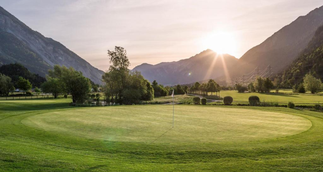
The Runca Trail is the classic single trail starting in Flims. The route becomes particularly interesting when you extend it from Flims to Tamins and incorporate highlights such as Lake Cauma or the Conn viewing platform into the route.
Technique /6
Fitness 3/6
Highest Point  1845 m
Lowest Point  660 m
Best Season
Jan
Feb
Mär
Apr
Mai
Jun
Jul
Aug
Sep
Okt
Nov
Dez
Start
Flims
Destination
Tamins
Coordinates
46.860235, 9.269049

Details

Description

The tour starts with the chairlift ride to Naraus. The start of the descent leads for a little way along a gravel road until the actual Runca Trail begins at the Flembach stream. This varied route meanders fluidly to the Runca Höhe and along numerous good, wooden trails to the Waldhaus area of Flims. This is usually where the Runca Trail descent ends, but not in this version. Cycle on small gravel roads down to the idyllic Lake Cauma and then climb up to the Conn viewing platform with its wonderful view of the Rhine Gorge. Both places are ideal as a lunchtime stop-off before starting on the trip to Tamins. From Conn, you ride mainly on single trails to Pintrun, and then ascend a little way to Digg - from where you travel on the signposted mountain bike route to Tamins along a mix of trails and little gravel roads.Tip: Instead of taking the post bus in Tamins back to Flims, extend the tour to Chur. A wonderful singletrail hugs the left bank of the Rhine to the outskirts of Chur.

HOME OF TRAILS

Incidentally: Danny MacAskill and Claudio Caluori took a relaxing break at Lake Cauma in the "Home of Trails" video.

Discover the Lake Cauma

Geheimtipp

Instead of getting back to Flims in Tamins in Postbus, you continue the tour to Chur. A wonderful single trail nestles along the left bank of the Rhine to the outskirts of Chur.

Responsible for this content Graubünden Ferien.
This content has been translated automatically.

Mittenberg - Maladers

Medium
10.5 km
3:15 h
440 mhd
520 mhd
Mittenberg - beliebtes Churer Ausflugsziel
Mittenberg mit Blick ins Churer Rheintal

Show all 6 images

Blick auf den Mittenberg und die Stadt Chur
Varied round hike from the city up to the panoramic Mittenberg and on nice trails to the sunny village of Maladers and back into Chur's Oldtown.
Technique 2/6
Fitness 3/6
Highest Point  1105 m
Lowest Point  585 m
Best Season
Jan
Feb
Mär
Apr
Mai
Jun
Jul
Aug
Sep
Okt
Nov
Dez
Start
Chur, Fürstenwald
Destination
Chur, Oldtown
Coordinates
46.870138, 9.544072

Details

Description

The Chur city bus no. 2 takes you the Fürstenwald above of the city. This is the starting point of this hiking tour. From there, follow the wide forest road steadily up to Mittenberg. On the way and on the Mittenberg you will find fountains with fresh spring water. Up at Mittenberg, you have a wonderful panorama view into the Chur Rhine valley and the surrounding mountains and is an ideal place for a picknick, as well.

Descent along the pastures to Maladers, Brandacker and below the Arosa street into the direction of the city again, past the Episcopal courtyard with the famous cathedral. There you will enter the wonderful and historic Old town of Chur again.

Responsible for this content Chur Tourism.
Chur Flow (707)

Simple
3.8 km
0:25 h
0 mhd
552 mhd
Chur Flow Trail im Alpenbikepark Chur

Show all 4 images

Chur Flow (707)
The Chur Flow is a freeride trail in the lower section of the Alpenbikepark Chur.
Technique 2/6
Fitness 2/6
Highest Point  1184 m
Lowest Point  632 m
Best Season
Jan
Feb
Mär
Apr
Mai
Jun
Jul
Aug
Sep
Okt
Nov
Dez
Start
Känzeli, middle station of gondola
Destination
Chur, valley station of the gondola
Coordinates
46.838581, 9.526002

Details

Description

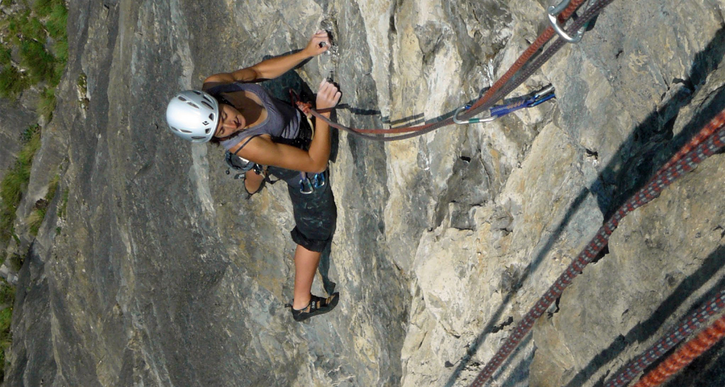
The route is moderately steep and very varied. The main line works well for beginners. But also freeride cracks appreciate the route thanks to some crunchy side lines with jumps, drops, step-up & step-down and more elements.

Directions

Public Transport

Take the train to Chur station. From there, the city bus (line 1) takes 3 minutes to the valley station of the mountain railways (Stadthalle/Brambrüeschbahn stop).

Anreise Information

  • Motorway exit Chur Süd
  • Drive into the city (Kasernenstrasse)
  • The valley station and car park are on the right-hand side in front of the town centre

Parking

More about parking for guests of the Chur mountain railways.

Responsible for this content Brambrüesch.
This content has been translated automatically.

Chur panorama trail

Simple
8.1 km
2:15 h
168 mhd
168 mhd
Beim Fürstenwald mit Aussicht ins Rheintal
Fürstenwald mit Blick zum Calanda

Show all 9 images

Aussicht auf Stadt Chur mit Calanda
Out of the city into the beautiful recreational area of the Fürstenwald and with panoramic views back into the heart of the Alpine City.
Technique 1/6
Fitness 2/6
Highest Point  753 m
Lowest Point  584 m
Best Season
Jan
Feb
Mär
Apr
Mai
Jun
Jul
Aug
Sep
Okt
Nov
Dez
Start
Chur, train station
Destination
Chur, train station
Coordinates
46.853643, 9.529653

Details

Description

The sun-kissed panoramic trail starts in the city center and takes you in a circuit out of the city and into the beautiful forest of Chur. Along the edge of the forest you continue to the most beautiful viewpoint of the city (don't forget to bring your camera). Passing by the episcopal courtyard and the famous cathedral the tour finally leads into the historic old town of Chur and back to the starting point.

Responsible for this content Chur Tourism.

Ringelspitz hut round trip

Difficult
15.6 km
6:15 h
1300 mhd
1300 mhd
Ringelspitzhütte mit Blick zum Ringelspitz Gipfel
Ringelspitzhütte Rundtour

Show all 5 images

Tektonikarena Sardona
Impressive hiking tour through the gorgeous Lavoitobel to the Ringelspitz hut and along the Kunkelspass back to Tamins.
Technique 3/6
Fitness 5/6
Highest Point  1998 m
Lowest Point  662 m
Best Season
Jan
Feb
Mär
Apr
Mai
Jun
Jul
Aug
Sep
Okt
Nov
Dez
Start
Tamins, village
Destination
Tamins, village
Coordinates
46.829182, 9.405976

Details

Description

The village of Tamins is the starting point of this exciting round trip. In the northern rim of the village you walk northwards into the Lavoitobel. The wild and secluded valley is home of deer, chamois and many local birds. In the end of the valley there is a rather steep ascent to the Ringelspitz hut, which is open during the whole summertime and on sunny weekends in spring and fall. Ideal for a lunch break or why not spending a night in the beautiful surrounding of the Alps. The descent follows the hiking route to Grossalp - Kunkelspass - Foppaloch - Tamins.

Responsible for this content Chur Tourism.

Calanda (hut) Challenge

Difficult
31.5 km
5:00 h
1500 mhd
1500 mhd
Calanda(hütte) Challenge

Show all 10 images

Calanda(hütte) Challenge
Tough, panoramic, varied: The bike trip to the Calanda hut is quite a tour - a real challenge!
Technique 3/6
Fitness 5/6
Highest Point  2075 m
Lowest Point  546 m
Best Season
Jan
Feb
Mär
Apr
Mai
Jun
Jul
Aug
Sep
Okt
Nov
Dez
Start
Chur (Alexanderplatz)
Destination
Haldenstein (village)
Coordinates
46.852106, 9.531509

Details

Description

This challenging mountain bike tour starts in the heart of Chur city. The Calanda mountain is situated on the sunny side of the Rhine valley, therefore the tour is possible already in springtime (in summertime early start recommend). At first, follow the national cycling route no. 2 (Rhine route) northwards until you reach the village of Haldenstein. Cross the Rhine river and drive into the village, in direction of the castle. In the village centre, the mountain road branches off to the right side. Now get ready for a long ascent of total 1'500 meters in height. On the way up you pass by several alps as Arella, Funtanolja, Neusäss, Altsäss until you finally reach the Calanda hut.

The hut is feasted during the summer months, so you can have a drink and a meal there. If you really want a challenge, then you can climb up (by foot) to the peak of the Haldensteiner Calanda (730 meters in height and appr. 1 ½ hours from the hut). To have enough time and being able to enjoy the scenery, an overnight in the Calanda hut is absolutely recommended then.

For the descent, take the singletrail right from the hut. Later, you will follow the ascent road for a short track, before a narrow and technical trail branches off to the left at Alp Neusäss, that leads to the Vazer Alp. After a descent on the alp road, at point 1515 another trail branches off to the right side and will take you to the beautiful settlement of Batänja. From there follow the forest road until you pass by the ruin of Lichtenstein. Shortly later for the last piece of the descent, another trail on the left side will take you back down to the village of Haldenstein.

Geheimtipp

Dave Kilshaw's Calanda Challenge by swissrent

The ascent route is signposted as "Dave Kilshaw's Calanda Challenge", a free, interactive outdoor sports adventure. You'll find 6 signposts along the way, which contain a Scan-Point. If you master the more than 20 km, and 1,500 vertical meters along the well-kept forest road up to the Calanda hut, and can scan the respective points with the swissrent-App you can earn 20 «mountainmiles» per scan, which can be redeemed for rental with swissrent. The first Scan-Point signpost is right in the middle of the city center (Alexanderplatz, in front of the City Shop Chur).

Responsible for this content Chur Tourism.

Stams - Mittagsplatte

Difficult
39.9 km
5:30 h
1600 mhd
1600 mhd
Calanda im Hintergrund
Im Aufstieg nach Says

Show all 8 images

Abfahrt von Stams Richtung Valzeina
Extended day tour with beautful viewing points and single tracks on the descent.
Technique 4/6
Fitness 5/6
Highest Point  1727 m
Lowest Point  546 m
Best Season
Jan
Feb
Mär
Apr
Mai
Jun
Jul
Aug
Sep
Okt
Nov
Dez
Start
Chur, train station
Destination
Chur, train station
Coordinates
46.85346, 9.529688

Details

Description

The start of this tour is at the train station Chur. Cycle out of the city in eastern direction, through the Fürstenwald (forest) to the village of Trimmis. When you have crossed the stream in Trimmis, the ascent begins on the right side up to Says and further up to Stams, where you will have a splendid panorama view. During the summer months, the restaurant in Stams is feasted and you can refresh yourself with some drinks and snacks.

From Stams follow the trail uphill across the meadow. And then the first downill begins on a challenging but ridable single track into direction of Clavadatsch. Back on the street you continue to Valzeina, where the second (but short) ascent begins and leads you up to the Mittagsplatte, where a 120 m high transmitting mast is positioned. Shortly before, you branch off to the left and follow a trail through the meadow to a fence. Here, the second part of the descent begins. At first quite steep and demanding, but soon getting easier and smoother, through the "Schlund" back into the valley. Leave the village of Zizers to your right and continue along Molinära back to Trimmis. After crossing the village, follow the trail to the Rhine river. From there, follow the official cycling path Rhine route No. 2 back to Chur.

Responsible for this content Chur Tourism.