703 Rock'n'Roll: Sektion 3


Details
Responsible for this content Graubünden Ferien.
Sunday opening hours apply on Whit Monday, 9 June. Please note: from Tuesday, 10 June, the facilities in the indoor pool building will be closed for the annual maintenance works.
Additional infos. Responsible for this content Graubünden Ferien.
Responsible for this content Graubünden Ferien.
Responsible for this content Graubünden Ferien.
Responsible for this content Graubünden Ferien.
Show all 3 images
Responsible for this content Graubünden Ferien.
Show all 7 images
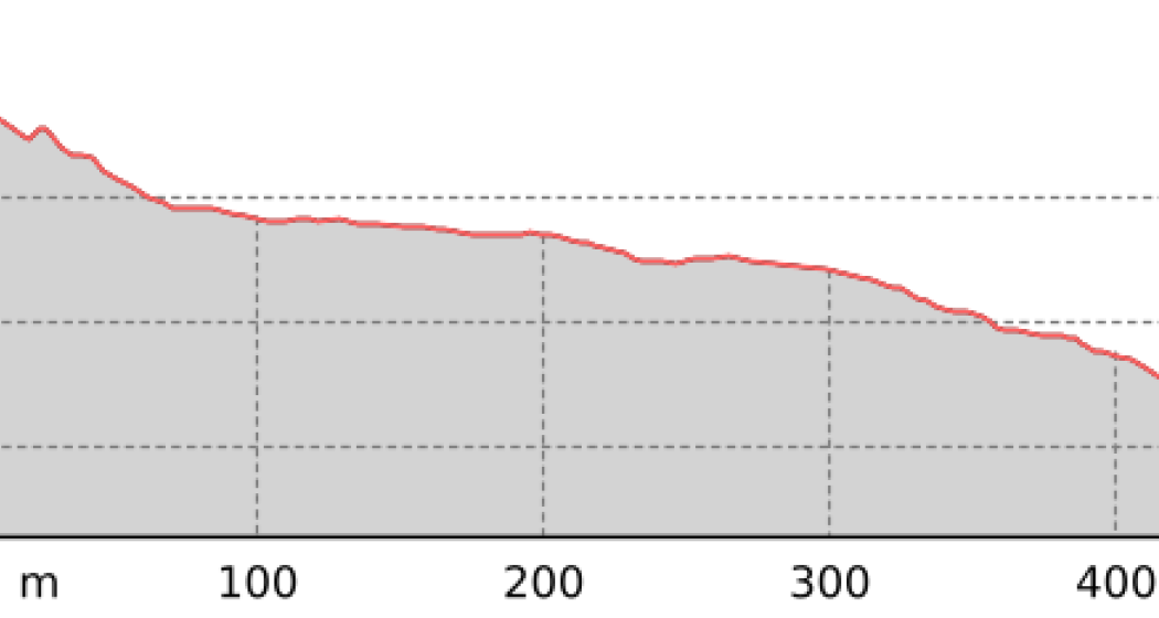
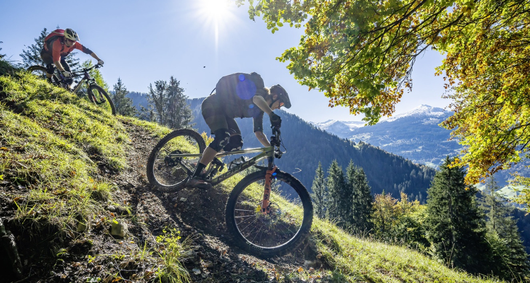
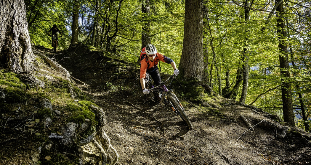
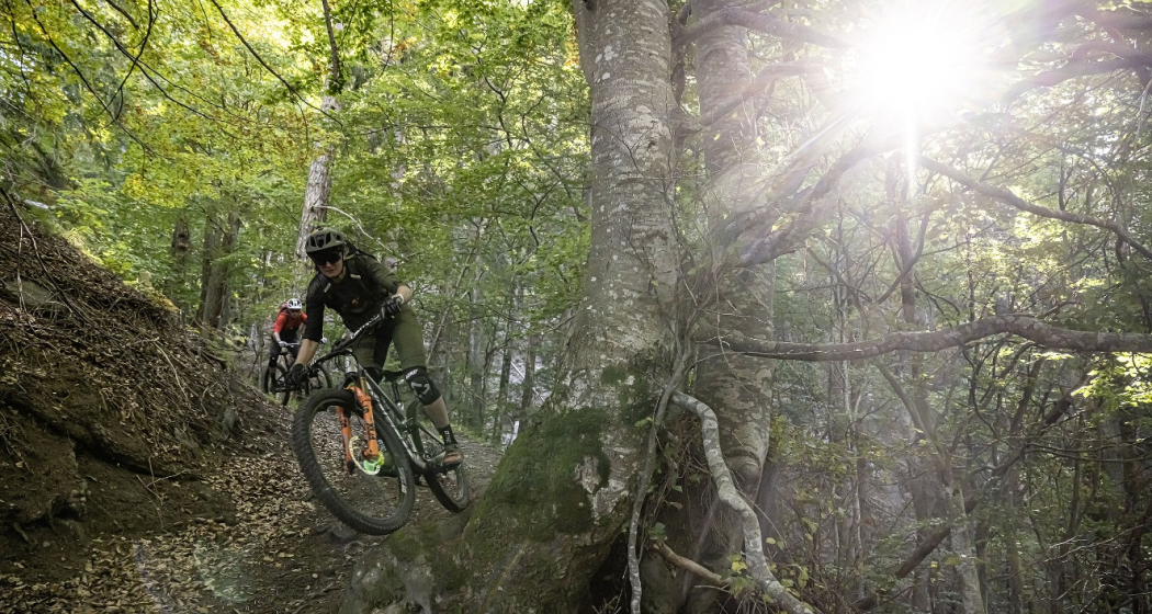
The ascent takes place on a mountain road with little traffic and later traverses on a forest path to Unter Valzeina. A short ascent on a mountain road and you reach the Mittagsplatte, which lies like an eagle's nest above the Graubünden Rhine Valley and offers a magnificent view. For the descent, first drive back a short distance before a relatively steep trail branches off to the left. This is especially challenging in the upper section and can only be ridden by technically experienced bikers (after 5 - 10 minutes of pushing, however, the trail becomes flatter and easier). Later it joins a forest road, which you follow to the village of Zizers. The return journey to Landquart takes place on the Rhine dam; the section between Zizers and Landquart runs on a good rideable trail.
Responsible for this content Graubünden Ferien.
This content has been translated automatically.
Show all 8 images
Varied bike tour with a beautiful descent through the magnificent and wild Valzeina Valley. The variant is particularly recommended here, because it offers further scenic as well as sporting highlights.
Responsible for this content Graubünden Ferien.
This content has been translated automatically.
Show all 5 images
Note(s)
Old Bad Pfäfers and Tamina Gorge
Walk along the paths of the beneficial thermal waters. The Tamina Gorge is a real natural phenomenon in itself and gives us an impressive idea of the immense power of water. In the middle of it all, the oldest baroque spa building in Switzerland, the Old Bad Pfäfers with its spa museum, Paracelsus memorial and restaurant, is a reminder of the Wilhelminian era. Restaurant Bad Pfäfers, Tel. +41 (0)81 302 71 61
Accessible on foot or with the gorge bus from the train station or entrance Postplatz Bad Ragaz . General driving ban, also for bicycles.
Tamina-Therme - relax in the hot springs
Enjoy the relaxing bathing fun in the public indoor and outdoor thermal baths with a wonderful whirlpool, lazy river, waterfall, bubble loungers, bubble seats, bubble grotto and various massage jets. Tamina-Therme, Bad Ragaz, Tel. +41 (0)81 303 27 40.
Responsible for this content Graubünden Ferien.
This content has been translated automatically.
Show all 4 images
Initially, you roll from Vrin down to Surin and follow the signposted mountain bike route via Surcasti to Uors. Here it is worthwhile to take the post bus for the ascent to Vals. This saves "only" 320 meters in altitude, but still! Because on the third stage of the Surselva hut tour, it is important to save energy for the upcoming ascent up to the Tomül Pass. To do this, you follow the signposted mountain bike route (Alpine Bike), first on asphalt, then on gravel and after the ridge on an easily rideable single trail. On the last section after Alp Tomül, there is always a pushing section to do, unless you have strength in your calves like Nino Schurter - or an e-bike. But the pushing is not in vain, because the upcoming section through the Safiental is one of the longest mountain bike descents in the Alps with almost 40 kilometres. The first part leads along the historic mule route down to Safien Thalkirch. Now you change to the road with little traffic and later pass the village of Safien Platz. Leave the road at the Rainmatte, follow the Rabiusa stream, pass the reservoir and then climb a few metres on the right side of the valley to finally reach the old Safierstrasse. Today, only one single trail remains of the road, so for mountain bikers it is a fantastic section through enormously steep terrain. The route here is interspersed with small tunnels. Later, the path widens again and you roll out of the valley on a small road to Sigl Ault.
At Sigl Ault, the wheat is separated from the chaff on the final stage of the Surselva hut tour: If you don't have any strength left, you roll down to Bonaduz and get on the train here for the return journey to Chur. But the original route still has a few highlights to offer. The section after the Sigl Ault is an unparalleled trail treat and leads high above the Rhine Gorge to the Versamerstrasse. Here is the next opportunity to end the stage with the flat ride to Bonaduz. But here, too, there is still something to experience on the original route, because the upcoming single trail section past the ruins of Wackenau is no less attractive than the previous trail over the Rhine Gorge. This way you get to Reichenau and get on the train back to Chur. So much for the recommended version for the third stage of the Surselva hut tour.
If you still haven't had enough in Reichenau, follow the cycle path from Tamins in the direction of Chur and then change to the trail near the left bank of the Rhine before Felsberg. This trail leads to the Rossboden army site, from where you roll along the cycle routes to Chur train station.
Responsible for this content Graubünden Ferien.
This content has been translated automatically.
Show all 8 images
The Hüttentour Surselva is a three-day mountainbike tour in the region between Chur, Flims and Vals. The ascents are primarily mastered under one‘s own power and lead over well rideable paths. The up hill to Vals is covered by post bus. The descents are mainly on singletrails that can be ridden smoothly, but experience in alpine mountainbiking is an advantage. On the Hüttentour, all luggage for three days is in the backpack, no luggage transport is possible. However, the selected huts have hotel standard.
Starting place: The Hüttentour Surselva starts in Flims. Ideally, you travel by car or public transport to Chur and get from there by post bus to Flims. Mountainbikes can be taken along without any problems, each post bus has a rear rack for up to five bikes.
E-Mountainbike: The Hüttentour Surselva is also easily doable with the e -mountainbike. However, experience in battery management is necessary to reach the stage destination with one charge. In the huts are sockets available to charge the battery. However, it is important to bring your own charger.
Responsible for this content Graubünden Ferien.
This content has been translated automatically.


