Sunday opening hours apply on Whit Monday, 9 June. Please note: from Tuesday, 10 June, the facilities in the indoor pool building will be closed for the annual maintenance works.

Additional infos.
Name plural
Mountain Bike Tours
Original Name
Mountain bike
discover.swiss ID
sui_010205

Kunkelspass round trip

Difficult
56 km
4:30 h
963 mhd
963 mhd
Aufstieg zum Kunkelspass
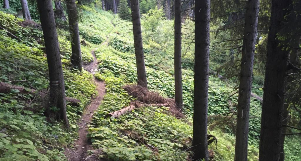
Kunkelspass - hier fährt kaum ein Biker vorbei

Show all 8 images

Kunkelspass
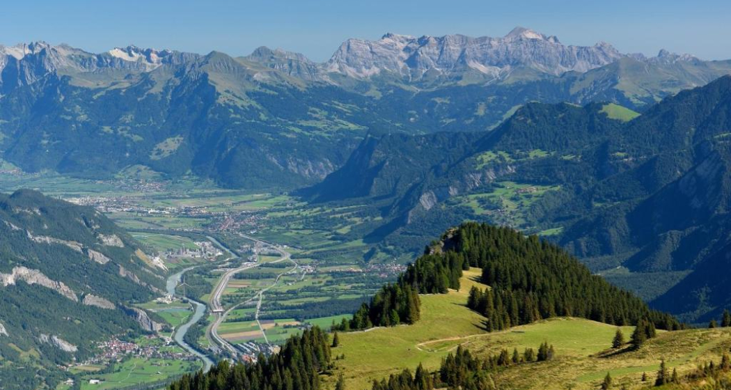
The Kunkels Pass bike tour is a real classic and well known among mountain bikers, cyclists and e-bikers. You completely ride around the impressive Calanda mountain on this tour.
Technique 1/6
Fitness 5/6
Highest Point  1357 m
Lowest Point  514 m
Best Season
Jan
Feb
Mär
Apr
Mai
Jun
Jul
Aug
Sep
Okt
Nov
Dez
Start
Chur, train station
Destination
Chur, train station
Coordinates
46.85416, 9.528797

Details

Description

From the Chur railway station, follow the national cycling route no. 2 (Rhine route) and cycle at the riverbank to Landquart. In Landquart, cross the Rhine river and later at Sarelli go left and follow the road up to Pfäfers and carry on to Vättis through a rugged basin with almost vertical mountain slopes.

The final ascent to the pass takes you away from the traffic through unspoilt, splendid countryside. Shortly past the Eggwald mountain restaurant, you leave the Canton of St. Gallen and enter Grisons again before reaching the pass summit.

When crossing from the Tamina Valley into the Rhine Valley, the great differences at either side of the water divide are amazing. The final descent to Tamins is a special treat, offering views of the confluence of the Vorder and Hinter Rhine. From Tamins take the national cycle route No. 2 (Rhine route) back to Chur (or return by rail from Reichenau station).

Responsible for this content Chur Tourism.

707 Chur Flow: Section 3

Simple
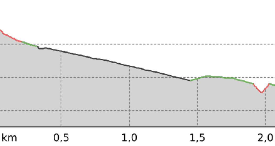
1.6 km
0:05 h
0 mhd
219 mhd
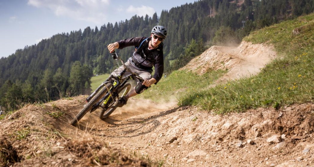
Chur Flow Trail im Alpenbikepark Chur
707 Chur Flow: Sektion 3 (oua_59381293_6e39ee0_profile)
707 Chur Flow: Section 3
Technique /6
Fitness /6
Highest Point  851 m
Lowest Point  632 m
Best Season
Jan
Feb
Mär
Apr
Mai
Jun
Jul
Aug
Sep
Okt
Nov
Dez
Coordinates
46.841115, 9.532592

Details

Responsible for this content Graubünden Ferien.

708 Vertigo: Section 3

Difficult
1 km
0:05 h
0 mhd
227 mhd
708 Vertigo: Sektion 3
708 Vertigo: Sektion 3 (oua_59381264_ef46109_profile)
708 Vertigo: Section 3
Technique /6
Fitness /6
Highest Point  852 m
Lowest Point  625 m
Best Season
Jan
Feb
Mär
Apr
Mai
Jun
Jul
Aug
Sep
Okt
Nov
Dez
Coordinates
46.841227, 9.532347

Details

Responsible for this content Graubünden Ferien.

708 Vertigo: Section 2

Difficult
0.8 km
0:05 h
0 mhd
160 mhd
708 Vertigo: Sektion 3
708 Vertigo: Sektion 2 (oua_59381259_f28ae81_profile)
708 Vertigo: Section 2
Technique /6
Fitness /6
Highest Point  1012 m
Lowest Point  852 m
Best Season
Jan
Feb
Mär
Apr
Mai
Jun
Jul
Aug
Sep
Okt
Nov
Dez
Coordinates
46.837786, 9.53203

Details

Responsible for this content Graubünden Ferien.

Antennatrail

Difficult
4.3 km
0:20 h
2 mhd
596 mhd
Antennatrail (oua_94756988_image)
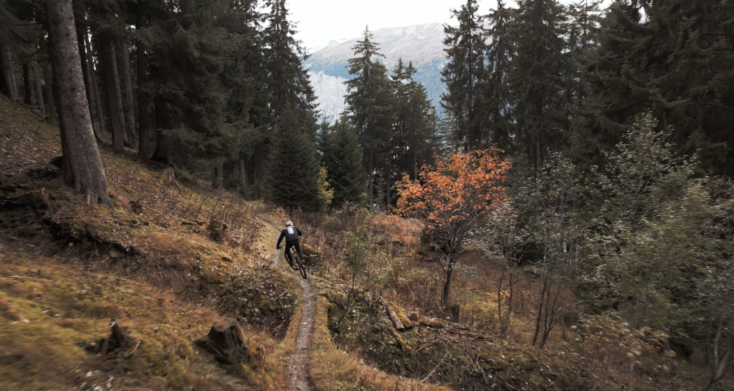
Antennatrail Brambrüesch

Show all 6 images

Antennatrail Brambrüesch
Hidden trail highlight away from the well-known freeride routes of the Alpenbikepark.
Technique /6
Fitness /6
Highest Point  1761 m
Lowest Point  1165 m
Best Season
Jan
Feb
Mär
Apr
Mai
Jun
Jul
Aug
Sep
Okt
Nov
Dez
Coordinates
46.816554, 9.509091

Details

Description

This narrow trail has it all: It leads amazingly flat and flowing through a remote and steep terrain. Every now and then it goes up and down easily, only rarely do you have to apply the brakes properly. You'll get a real flow when you ride through this magical forest - but don't be tempted too hard and lose concentration, because there are some exposed parts. Roots and also stones make the trail technically interesting - much more difficult to ride in wet conditions than in dry ones.

Responsible for this content Arosa Lenzerheide.

Outdooractive Logo

This website uses technology and content from the Outdooractive platform.

Dreibündenstein Trail

Medium
17.3 km
2:05 h
364 mhd
1500 mhd
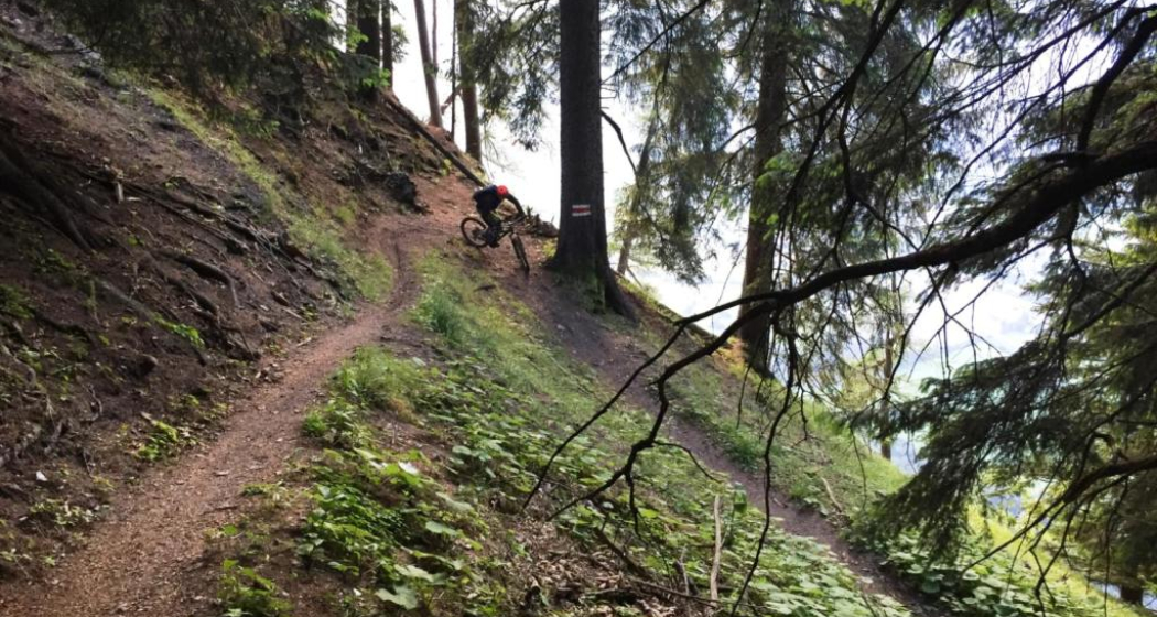
Dreibündenstein Trail
Spundis

Show all 6 images

Dreibündenstein Trail
This varied and panoramic trail connects the local mountain Brambrüesch in Chur with the Domleschg.
Technique /6
Fitness /6
Highest Point  2039 m
Lowest Point  682 m
Best Season
Jan
Feb
Mär
Apr
Mai
Jun
Jul
Aug
Sep
Okt
Nov
Dez
Coordinates
46.817884, 9.503647

Details

Description

The Dreibündenstein is a summit that is both a plateau and a place steeped in history. But the ascent to it must be earned. Not only the view is worthwhile, but also the long downhill run that leads to Domleschg. 

Responsible for this content Arosa Lenzerheide.

Outdooractive Logo

This website uses technology and content from the Outdooractive platform.