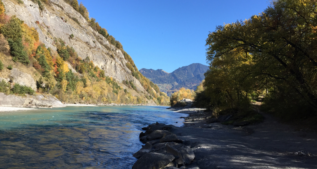
River Chur
Alpine Rhine

Description
Along the significant river Rhine with a length of 1,231 km there are always places where you can linger. The Rhine in Chur and the surrounding area is too wild and too cold for swimming. Numerous beautiful places, fireplaces as well as hiking trails and bicycle tours entice you to explore the diverse Rhine valley. On its course through the canton of Graubünden, the Rhine passes, among other places, the well-known wine-growing areas in the Bündner Herrschaft.
Contact
Alpine Rhine
7000 Chur
Responsible for this content Chur Tourism.