Sunday opening hours apply on Whit Monday, 9 June. Please note: from Tuesday, 10 June, the facilities in the indoor pool building will be closed for the annual maintenance works.

Additional infos.
Name plural
Mountain Bike Tours
Original Name
Mountain bike
discover.swiss ID
sui_010205

Tschengels

Difficult
14.3 km
2:00 h
529 mhd
534 mhd
Tschengels
Aufstieg durch die Weinreben oberhalb Felsberg

Show all 7 images

Einstieg in den Trail
Round tour from Felsberg with technically demanding descent via Benis Boden.
Technique 4/6
Fitness 2/6
Highest Point  1093 m
Lowest Point  561 m
Best Season
Jan
Feb
Mär
Apr
Mai
Jun
Jul
Aug
Sep
Okt
Nov
Dez
Start
Felsberg
Destination
Felsberg
Coordinates
46.844074, 9.478426

Details

Description

From the tranquil village of Felsberg, this round tour leads up a forest road through open fields and later through the forest. On the descent, however, it's over with the cosiness; for this is technical from the start, steep in places and with several places interspersed with stones and with some narrow and difficult hairpin bends. If you like demanding and technical trails, this is the right place for you. Shortly before Benis Boden the trail branches off to the left and at the end there is a portion of flow waiting. The trail along the Rhine river back to Felsberg is also very fluid and fun to ride.

Responsible for this content Chur Tourism.
This content has been translated automatically.

Ochsenberg-Mittenberg

Medium
20.1 km
4:00 h
1047 mhd
1047 mhd
Ochsenberg Trail
Höhenweg Mittenberg-Maladers

Show all 6 images

Höhenweg Mittenberg - Maladers
Singletrail highlight from Chur, which must be earned.
Technique 3/6
Fitness 4/6
Highest Point  1485 m
Lowest Point  585 m
Best Season
Jan
Feb
Mär
Apr
Mai
Jun
Jul
Aug
Sep
Okt
Nov
Dez
Start
Chur, station
Destination
Chur, station
Coordinates
46.85319, 9.530176

Details

Description

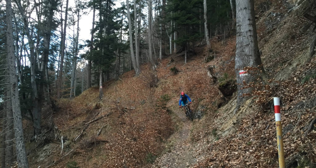
The Ochsenberg is the big brother of the Mittenberg. While the latter is well known in Chur as a popular bike mountain, only few know the Ochsenberg. It lies directly above the Mittenberg and the sensational trail descent must first be earned with a sweaty ascent. The more comfortable option is to take the post bus and bike from Chur to Maladers and thus avoid the first part of the ascent - this way, the Ochsenberg can even be mastered as an evening ride. But also the ascent from Maladers is still a bit difficult, less altitude meters, but relatively steep throughout. But more than worthwhile for this descent. A narrow single trail winds its way down to the Mittenberg, technically but continuously rideable. Once there, one can then immediately attach another fine trail descent back to Chur. 

Responsible for this content Chur Tourism.

GPS Biketicket 2 RIDE black

Geschlossen
Difficult
76.2 km
6:00 h
430 mhd
5569 mhd
Älpliseetrail
Biketicket to ride schwarz

Show all 8 images

Biketicket to ride schwarz

The mother of all enduro tours! Pedal almost 700 metres uphill and 6,000 metres downhill. A special bike experience with 10 different mountain railways.

Technique 6/6
Fitness 5/6
Highest Point  2633 m
Lowest Point  588 m
Best Season
Jan
Feb
Mär
Apr
Mai
Jun
Jul
Aug
Sep
Okt
Nov
Dez
Start
Chur or Lenzerheide
Destination
Chur or Lenzerheide
Coordinates
46.73985, 9.556527

Details

Description

The round tour can be started from various starting points. This description starts in Chur. (Alternatively also in Lenzerheide and Arosa) The Brambrüesch mountain railway takes you from the capital to the first summit, to Brambrüesch. The start of the Freeride Tour is identical to the signposted Biketicket to RIDE red No. 616 to Churwalden. From Heidbüel you traverse via Alp Stätz to Heidsee. We continue on the eastern flank of Lenzerheide, on the Rothorn side. With an additional loop on the Weisshorn Speed, the fresh The Great White is taken with you before you go to Arosa via the Älplisee Trail. A real single trail highlight for experienced bikers. Once in Arosa, you can comfortably take the Hörnli cable car to the Hörnli. Now it's off on the technically very demanding single trail down to the Schwellisee. The next train, Arosa to the Weishorn, takes you back to 2,653 meters above sea level in no time. A breathtaking single trail leads from the Weisshorn summit to Ochsenalp and on to Tschiertschen. After the village tour, further trail highlights lead to Chur. After six peaks, ten mountain railways and endless single trails downhill, the tour ends again in Chur.

Geheimtipp

If you start this tour from Chur, you will earn the badge "Black Mamba" in the Bike Kingdom app

Sicherheitshinweis

Please note the respective operating times and the transport criteria at the Scalottas and Weisshorn before starting the tour. You can find more information here

Plan enough time and respect other trail users - Trail tolerance!

Directions

Lenzerheide - Piz Scalottas - Lenzerheide -  Rothorn - Inner-Arosa - Hörnli - Arosa Weisshorn - Tschiertschen - Praden - Passugg - Chur - Brambrüesch - Churwalden - Alp Stätz - Lenzerheide

Directions

Public Transport

Arriving by train to Chur, then change directly to the buses from PostbusGraubünden and get to Lenzerheide within 30 minutes.

In the village the free sports bus is available.

Anreise Information

From Basel and Zurich - Chur-Süd (exit no. 17) - Lenzerheide.

From Milano - Lugano - San Bernadino Tunnel - Thusis - Chur (exit Lenzerheide) - Lenzerheide.

Parking

Lenzerheide: Parking spaces at the entrance to Lenzerheide or the Rothornbahn valley station.

Chur: Parking valley station Bergbahn Chur - Dreibündenstein

Responsible for this content Graubünden Ferien.
This content has been translated automatically.

Mittenberg St. Luzi Trail

Medium
12.2 km
1:50 h
520 mhd
520 mhd
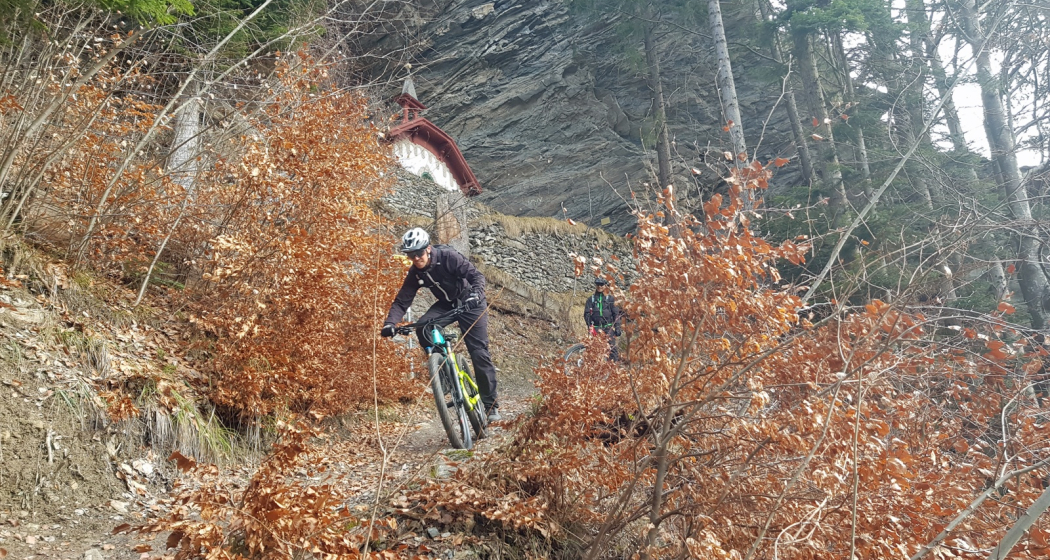
Trail mit St. Luzikapelle
Technischer Trail im oberen Bereich

Show all 7 images

Kurz vor der St. Luzikapelle
Varied tour to the Mittenberg with top single trail downhill on the south side.
Technique 3/6
Fitness 3/6
Highest Point  1105 m
Lowest Point  585 m
Best Season
Jan
Feb
Mär
Apr
Mai
Jun
Jul
Aug
Sep
Okt
Nov
Dez
Start
Chur, station
Destination
Chur, station
Coordinates
46.85319, 9.530176

Details

Description

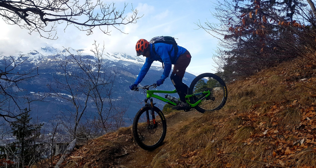
The bike tour to the Mittenberg is a classic in Chur. This downhill variant is one of the best that the Chur Bikeberg has to offer for lovers of single trails. On the sunny south side the trail leads very varied down to the St. Luzi chapel and in another panoramic loop back to the town. The descent is partly technical, partly exposed, with hairpin bends and again and again also fluid passages. Mountain bikers with single trail experience will love this ride. 

Responsible for this content Chur Tourism.

Ringelspitzhütte / Lavoitobel

Difficult
36.2 km
4:25 h
1566 mhd
1566 mhd
Ebene mit Blick zurück zum Lavoitobel
Aufstieg zur Ringelspitzhütte

Show all 9 images

Ringelspitzhütte mit UNESCO-Panorama
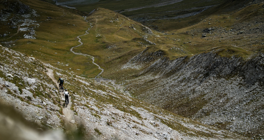
A day tour that demands a lot and offers even more: challenging ascent, worthwhile refreshment stops, unique mountain scenery and fantastic views as well as a trail descent that you will not soon forget.
Technique 4/6
Fitness 5/6
Highest Point  1992 m
Lowest Point  562 m
Best Season
Jan
Feb
Mär
Apr
Mai
Jun
Jul
Aug
Sep
Okt
Nov
Dez
Start
Obere Au, Chur
Destination
Obere Au, Chur
Coordinates
46.854047, 9.505327

Details

Description

Two things are needed for this tour: stamina and fun on technical trail descents. If you have both, you can look forward to a mountain bike experience in a class of its own. The ideal start is in Chur at the Obere Au car park, where you can also leave your car (even for several days, if you spend the night in the Ringelspitzhütte). To start with, we recommend a visit to Merz, where you can enjoy fine coffee as well as delicious pastries and confectionery in Switzerland's first drive-in bakery/confectionery (you will be glad later that you didn't start on an empty stomach, so feel free to grab it and take something with you on your way).

At the beginning, the tour leads to Felsberg and soon turns right onto a magnificent forest trail, which leads to Benis Boden. The road to the Kunkelspass leads regularly steeply (but easily rideable) uphill with magnificent views along the route. The Überuf restaurant on the mountain level is a recommended stopover; there are usually a lot of bikers here, who ride the popular Kunkelspass tour. Right at the restaurant, the path to the Ringelspitzhütte branches off to the left. A beautiful and easily drivable mountain road leads uphill to the Grossalp. The mountain panorama is breathtaking, with the Calanda (local mountain of the Alpine town of Chur and one of the longest mountain massifs in Graubünden) on one side and the mountain ranges around the Ringelspitz (part of the UNESCO World Heritage Site Tectonic Arena Sardona) on the other. Turn left at Grossalp and follow the path that is initially drivable. Now it's only a short ascent (in principle rideable ;-) At the highest point of the tour, it is once again worth stopping for a bite to eat and enjoy the view. Then it's time to take down the saddle and set it to downhill mode .

The demanding trail into the Lavoitobel has it all and offers technically experienced bikers a joyful challenge (short bump passages). The rocky mountain flanks of Crap Mat to the right provide a unique backdrop. At Hinter Säss it gets flat, but the trail still requires full concentration. Finally, a forest trail follows, which technically but still leads very flowing (because not blocked) into the valley. A real pleasure and you think the trail has no end. On the following mountain road you can relax a bit. When you reach the Kunkelspass road, turn left briefly uphill and soon turn right again over a bridge.  Just after the bridge there is another crisp trail, which later rejoins the ascent route. Follow this road back to the starting point in Chur at the Obere Au.

Geheimtipp

Plan enough time for a cozy stop in the Ringelspitzhütte - to enjoy the unique mountain scenery and the warm hut catering.

Sicherheitshinweis

Be careful on departure, partially exposed terrain. Give priority to hikers.

Directions

Public Transport

Start from the easily accessible train station Chur.

Anreise Information

Motorway exit Chur Süd to the parking lot Obere Au in Chur.

Parking

Parking Obere Au, Chur

Responsible for this content Chur Tourism.
This content has been translated automatically.