discover.swiss ID
osm_1684075
discover.swiss Additional Type
City

Gravel Bike Route Hinterrhein

Medium
202.6 km
21:00 h
5327 mhd
5326 mhd
Gravel&Road Graubünden
Reichenau

Show all 8 images

Gravel&Road Graubünden
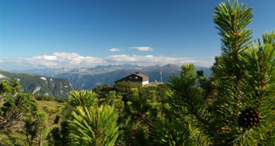
Deep ravines, impressive panoramic views and witnesses to the history of Graubünden’s transport routes await discovery at the Posterior Rhine.
Technique 3/6
Fitness 3/6
Highest Point  2073 m
Lowest Point  559 m
Best Season
Jan
Feb
Mär
Apr
Mai
Jun
Jul
Aug
Sep
Okt
Nov
Dez
Start
Chur
Destination
Chur
Coordinates
46.861587, 9.507176

Details

Description

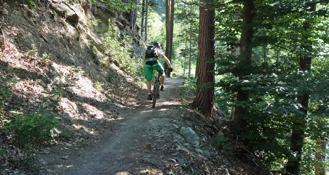
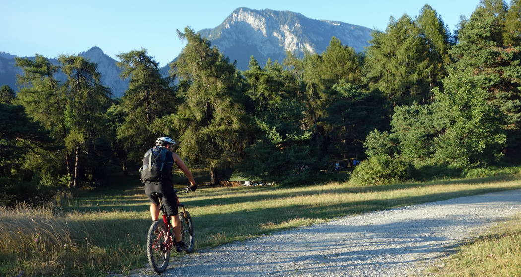
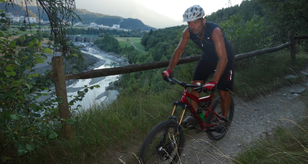
Your journey starts in Chur where you’ll discover the rolling hills of the Domleschg fruit and castle country. The Glaspass is an insider tip that will take you to the Beverin Nature Park. The slope is long, but not too steep. A beautiful panorama tour takes you over the Heinzenberg back to the historic trading town of Thusis. The journey continues through the natural monument of Viamala Gorge, where 300-meter high cliffs will have you in awe. The route to Andeer leads through the villages of Schamserberg, which tower high above the valley and score points for their panoramic views. The route climbs up towards Lai da Vons. Here you’ll be able to enjoy the tranquility of nature and an epic panorama. You can ride down the hill until you reach Sufers, and through the valley floor of the Rheinwald you’ll reach Splügen, Graubünden's oldest pass village. From Medels via Nufenen and Posterior Rhine you’ll continue following the young Rhine towards its source. On the other side of the Rhine, the route leads down into the valley again and you’ll ride through the idyllic landscape passing the Posterior Rhine through the valley floor of the Rheinwald back to Splügen. The ascent through the Fugscht forest is short but steep. A rapid descent brings you to Sufnersee and on the Northern shore; you ride along a little-used road towards Roflaschlucht (gorge), which guarantees breathtaking views into a wild gorge. Via Bärenburg and Pignia, the route leads to Zillis, where the Capuns Swiss champion invites you to lunch at the hotel Post. Via Reischen you ride through the Viamala to Thusis and along the Posterior Rhine through the Domleschg. From Reichenau, where the Anterior Rhine and the Posterior Rhine merge, you have a comfortable ride back to Chur.

Stages

Stage 1: Chur – Thusis

Stage 2: Thusis – Glaspass - Thusis

Stage 3: Thusis - Andeer

Stage 4: Andeer – Lai da Vons – Splügen

Stage 5: Splügen – Splügen

Stage 6: Splügen – Chur

Geheimtipp

Tip: Gravelbikers with lots of leg power will manage stages 1 and 2 in one day.

Tip: Don’t worry about carrying your luggage on this trip multi-day trip. Book the luggage transfer from hotel to hotel - convenient and easy.

Directions

Chur - Thusis: 29.8 kilometers - 404 altitude

You start the journey in Chur (593 m above sea level) and get on bike path no. 6 on the Polenweg to the imposing fortification Porta Rhaetica. From Rothenbrunnen the route makes its way over the gentle hills of the Domleschg fruit and castle country. In Paspels (757 m above sea level), you can marvel at the art works by the well-known artist Robert Indermaur. Lake Canova invites you to take a break, especially to cool down during summer. From here, it’s not far to Thusis, the historical trading place (680 m above sea level).

Thusis - Glaspass - Thusis: 36.1 kilometers - 1659 altitude

The Glaspass is an insider tip. The MTB route no. 90 takes you from Thusis (680 m above sea level) past the villages of Urmein and Tschappina into the Beverin nature park. The ascent to the Glaspass (1846 m above sea level) is long, but in addition to steep ramps, there are always flat roads where you can relax a little. Once you arrive at the pass, it’s worthwhile to ride a few meters further to the Beverin mountain inn. You definitely deserve to take a little break here! You only follow the road down the valley for a little while longer now, and then turn onto MTB route no. 623 "Heinzenberger Maiensäss Route". This will lead you high above the Domleschg over an impressive panoramic path. From Obergmeind (1813 m above sea level) via Plau to Prau da l'Alp, you’ll encounter several short steep slopes, but the great view makes up for it. The rapid descent to Präz (1170 m above sea level) and Raschlegnas will definitely put a smile on your face. The trail leads you through Cruttis Tobel and Tartar back to Thusis (680 m above sea level).

Thusis - Andeer: 27.1 kilometers - 983 altitude

From Thusis (680 m above sea level), the old Viamala road leads through the "lost hole" to Rongellen. The 300-meter high cliffs of the Viamala Gorge natural monument will amaze you. The road runs high over the Viamala and looking into the gorge is worth it. A stop at the Visitor Center not only gives you a chance to rest, but also brings you closer to the AlpTransit’s history. The route continues in the direction of the Muntogna da Schons and Schamserberg villages. Through Zillis (945 m above sea level) and Donat you’ll reach Lohn (1585 m above sea level), Mathon and Wergenstein. A great view over the whole valley, including the fantastic road to Wergenstein, which towers high above the Schamsertal will be your reward. A nice descent on an agricultural road brings you to Casti. An imposing wooden bridge takes you to Clugin, before you start the last stretch of the journey riding on a dirt road to Andeer (982 m above sea level). Andeer is known for its healing spring. Enjoy the mineral bath with a wellness area – it’s a guaranteed rest for your sore muscles.

Andeer - Lai da Vons - Splügen: 22 kilometers - 1237 altitude

The road from Andeer (982 m above sea level) in the direction of Lai da Vons ascends without mercy. As you climb higher and higher through the forest of the Tranter Tschaingel, you’ll get to enjoy wonderful views over the whole valley. At Pastgaglia, you have almost already climbed up one thousand meters and will leave the tree line behind you. There will hardly be any flat roads to offer a chance to take a breath. You do have to persevere for a bit. Turn left once you reach Larisch. The natural road is now a bit bumpy. Shortly after the highest point of the climb (2050 m above sea level), you’ll be able to see the Lai da Vons (1994 m above sea level). In the tranquility of nature, enjoy the epic panorama, pat yourself on the back and roll down the mountain to Sufer's. The cycle route no. 505 "Rheinwaldroute" takes you through the valley floor of the Rheinwald to Splügen (1458 m above sea level), the oldest pass village in Graubünden.

Splügen - Splügen: 33.2 kilometers - 361 altitude

From Splügen (1458 m above sea level) follow the Rhine towards its source. Via Medels and Nufenen you’ll ride through the Rheinwald to the Posterior Rhine (1620 m above sea level), the oldest Walser settlement in Graubünden. From the Posterior Rhine it’s not far to the shooting range. During the week, the trip ends here, but on the weekends, you can reach the valley via a natural road in the direction of the Rheinquellhorn. On the other side of the Rhine, the route leads down the valley on a dirt road. Via the old Landbrugg, you’ll return to the village Posterior Rhine. If you like taking the easy path, take bicycle route no. 6 to Nufenen. Riders who are interested in a more technical road should tackle the meadow path on the other side of the Rhine. From Nufenen the cycle route no. 505 "Rheinwaldroute" leads down into the valley. You’ll make your way back to Splügen (1458 m above sea level) while riding along the Posterior Rhine through the valley floor of the Rheinwald.

Splügen - Chur: 58.6 kilometers - 580 altitude

You’ll leave Splügen (1458 m above sea level) on cycle route no. 505 "Rheinwaldroute" down the valley. At first, the road heads a few meters in the direction of Splügen Pass.

In the first bend, you’ll turn left and reach a short but steep climb through the Fugscht forest (1589 m above sea level). A rapid descent brings you to the Sufnersee, whose water shines turquoise. On the Northern shore of the lake, you’ll take the little-traveled road in the direction of Roflaschlucht (gorge). Even from the road, you’re guaranteed great views of the wild canyon. Through Bärenburg (1040 m above sea level), you’ll take a side road to Pignia. From here, a nature trail leads to Zillis (945 m above sea level). An insider's tip is Capun's, a local specialty - prepared by the Swiss Capuns champion at the hotel Post. Strengthened from the food the route leads you over Reischen (1024 meters) through the Viamala gorge to Thusis (680 m above sea level). Cycle route no. 6 takes you along the Posterior Rhine through the Domleschg. In Reichenau, where the Anterior Rhine merges the Rhine Anterior, change onto the Rheinrad route no. 2 and a comfortable ride back to Chur (593 m above sea level).

Responsible for this content Graubünden Ferien.
This content has been translated automatically.

Stage 6 Gravel Bike Route Hinterrhein: Splügen – Chur

Geschlossen
Medium
58.4 km
4:25 h
547 mhd
1445 mhd
Viamalaschlucht
Rofflaschlucht

Show all 4 images

Capuns
Deep ravines, impressive panoramic views and witnesses to the history of Graubünden’s transport routes await discovery at the Posterior Rhine.
Technique 3/6
Fitness 3/6
Highest Point  1653 m
Lowest Point  559 m
Best Season
Jan
Feb
Mär
Apr
Mai
Jun
Jul
Aug
Sep
Okt
Nov
Dez
Start
Splügen
Destination
Chur
Coordinates
46.551852, 9.322787

Details

Description

You’ll leave Splügen (1458 m above sea level) on cycle route no. 505 "Rheinwaldroute" down the valley. At first, the road heads a few meters in the direction of Splügen Pass.

In the first bend, you’ll turn left and reach a short but steep climb through the Fugscht forest (1589 m above sea level). A rapid descent brings you to the Sufnersee, whose water shines turquoise. On the Northern shore of the lake, you’ll take the little-traveled road in the direction of Roflaschlucht (gorge). Even from the road, you’re guaranteed great views of the wild canyon. Through Bärenburg (1040 m above sea level), you’ll take a side road to Pignia. From here, a nature trail leads to Zillis (945 m above sea level). An insider's tip is Capun's, a local specialty - prepared by the Swiss Capuns champion at the hotel Post. Strengthened from the food the route leads you over Reischen (1024 meters) through the Viamala gorge to Thusis (680 m above sea level). Cycle route no. 6 takes you along the Posterior Rhine through the Domleschg. In Reichenau, where the Anterior Rhine merges the Rhine Anterior, change onto the Rheinrad route no. 2 and a comfortable ride back to Chur (593 m above sea level).

Stages

Overall route: Chur  – Chur

Stage 1: Chur – Thusis

Stage 2: Thusis – Glaspass – Thusis

Stage 3: Thusis – Andeer

Stage 4 Andeer – Lai da Vons – Splügen

Stage 5. Splügen – Splügen

Stage 6. Splügen – Chur

Responsible for this content Graubünden Ferien.
This content has been translated automatically.

Fireplace Felsberg

Barbecue area Felsberg/Rossboden

Grillplatz Symbolbild
Bicycle Route No.2

Description

 Close to Chur-Rossboden-Felsberg bicycle trail on the left bank of the Rhine

Map

Barbecue area Felsberg/Rossboden

Responsible for this content Chur Tourism.

Cross Country Trail Chur Rhine valley

Medium
30.1 km
2:45 h
611 mhd
611 mhd
Trail-Spass in den Wäldern
Abzweigung auf den Trail Richtung Reichenau

Show all 7 images

Trail mit Blick auf den Rhein
This tour offers superb single tracks and is well suited as a veritable cross country training tour.
Technique 3/6
Fitness 3/6
Highest Point  857 m
Lowest Point  559 m
Best Season
Jan
Feb
Mär
Apr
Mai
Jun
Jul
Aug
Sep
Okt
Nov
Dez
Start
Chur, train station
Destination
Chur, train station
Coordinates
46.847544, 9.531373

Details

Description

Due to the low elevation, the Chur Rhine valley offers good mountain biking conditions already at the end of winter time until late in the autumn time. The tour combines attractive single tracks with some ascents and descents, as well as panoramic trails.

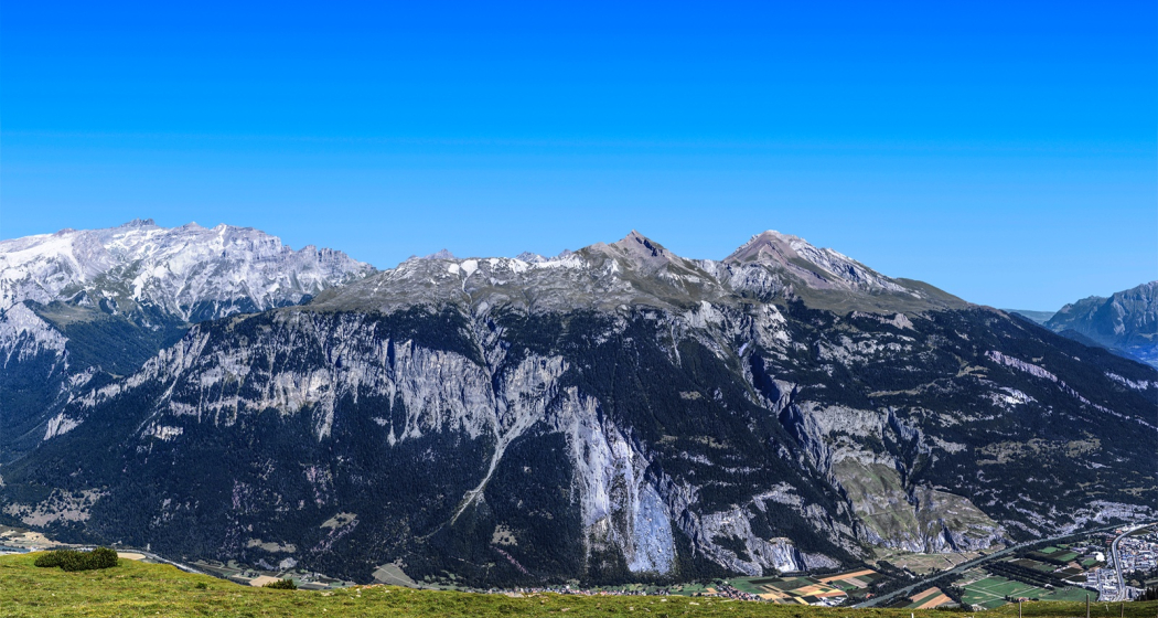
Along the tour you will get a good view into the diverse scenery of the  Rhine valley and the Alpine City of Chur. At Rei-chenau/Tamins you will cross the Rhine river just where the Vorder and Hinter Rhine confluence.

Directions

Public Transport

The tour starts at the Chur train station.

Responsible for this content Chur Tourism.

Experience the Cabins high above the Chur Rhine Valley

Medium
29.2 km
12:25 h
2285 mhd
2179 mhd
Ringelspitzhütte
Calandahütte SAC

Show all 9 images

Blick vom Rossboden auf den Felsberger Calanda
Three-day hike along the fascinating mountain ranges of Calanda and the Ringelspitz massif, which is part of the UNESCO World Heritage Site Sardona.
Technique /6
Fitness 4/6
Highest Point  2084 m
Lowest Point  552 m
Best Season
Jan
Feb
Mär
Apr
Mai
Jun
Jul
Aug
Sep
Okt
Nov
Dez
Start
Haldenstein, station
Destination
Tamins, village
Coordinates
46.876883, 9.530665

Details

Description

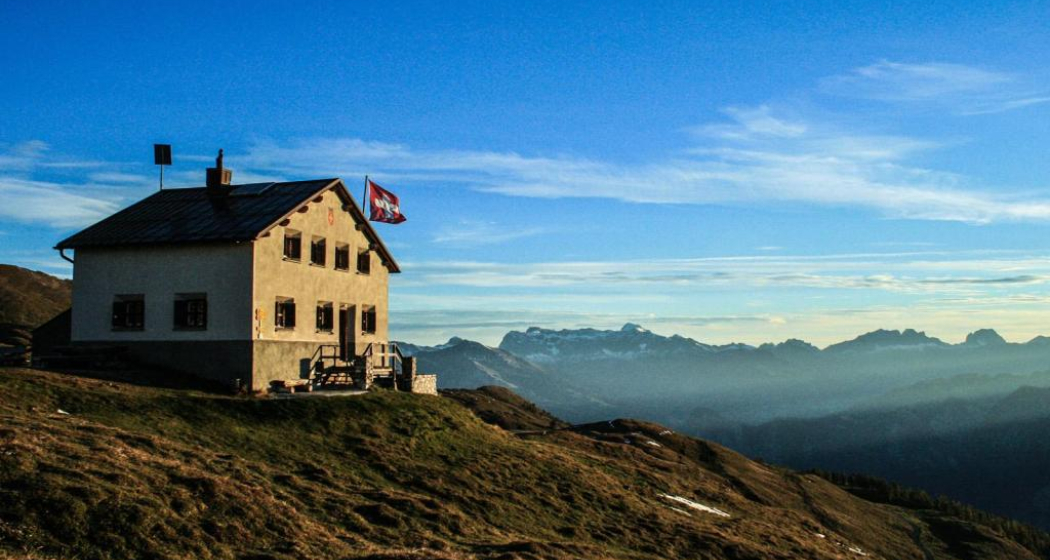
The impressive alpine hut hike, rich in experiences and views, begins in the Chur Rhine Valley, in the village of Haldenstein opposite Chur. The mighty Calanda massif towers imposingly in front of the Alpine City. You can enjoy a gentle ascent into the beautiful nature and the view becomes more and more impressive the higher you climb. The ascebt to the Calanda hut is about 1,500 metres. Those who still have energy left at the top can also master the ascent to the summit of Haldensteiner Calanda. This is another 800 metres of altitude difference, but the panoramic view is more than worth it.

The next day, one crosses from the hut over the Felsberger and Taminser Älpli to the historic Kunkelspass. An ideal place to strengthen yourself in the Überruf mountain restaurant. One is now officially in the perimeter of the UNESCO World Heritage Sardona and can inform in detail about it in the information room next to the restaurant. The ascent to the Ringelspitzhütte follows, from where you have a great view of the UNESCO World Heritage Site and the clearly visible Glarus main thrust at the Ringelspitz summit. After the second overnight hut stay the descent follows through the picturesque Lavoitobel, which is characterised by alpine rocky landscapes and the idyllic Lavoi stream. Further down follows a leisurely descent through secluded forests until you finally reach the Rhine Valley again and the village of Tamins. From there you can easily reach the city of Chur and the main railway station for the return journey by bus.

Responsible for this content Chur Tourism.

Dreibündenstein (Lady Patricia)

Difficult
40.8 km
5:00 h
1500 mhd
1500 mhd
Lady Patricia Trail
Lady Patricia Trail, gegenüber der Calanda

Show all 6 images

Kurz vor der Alp Juchs
This multifaceted and partly challenging day tour has all, what makes mountainbiking so special. The panorama trail with the crash site of "Lady Patricia" is also known as "Bomber Trail".
Technique 4/6
Fitness 5/6
Highest Point  2044 m
Lowest Point  559 m
Best Season
Jan
Feb
Mär
Apr
Mai
Jun
Jul
Aug
Sep
Okt
Nov
Dez
Start
Chur, train station
Destination
Chur, train station
Coordinates
46.817587, 9.50373

Details

Description

This challenging round tour starts at the northern side of the Chur railway station. Through the villages of Felsberg and Domat/Ems you reach the golf course in Domat/Ems. That's where the ascent starts. The mountain road is quite steep and it will take you some power to reach the mountain village of Feldis at 1'500 m. This is the perfect place to recharge your batteries in one of the restaurants.

From Feldis, continue on the level street in direction of Scheid. At point 1498 the next as-cent begins. Follow the paved mountain road up to the Alp di Plaun on 1953 m. At this point you can decide, whether you want to continue on the «Lady Patricia Trail» to Brambrüesch, or branch off and ascent to the Dreibündenstein. To continue on the here suggested route, follow the hiking trail to the ski hut Term Bel, turn right there and after 200 meters the trail branches off to the left side (follow the signal «Lady Patricia»). Before you reach the high route, the ascent continues and in the end you have to push your bike for appr. 10-15 minutes. When you have finally reached the height, a very panoramic and quite technical single track lies before you.

In the middle of the high route, you will find a memorial stone, where 1944 a US bomber has crashed into the mountain. The narrow single track traverses below of the Dreibündenstein. After that part, you come to enjoy the flow on the descent to Spundis. There, the trail branches off to the left and runs fluently at first, later more technical, to the Alp Juchs. From there, the trail continues demanding and challenging, before the last part of the descent will take you with a lot of flow back into the Alpine City of Chur.

Responsible for this content Brambrüesch.

CampAu Family tour

Simple
22.6 km
1:30 h
135 mhd
135 mhd
CampAu am Rhein-Ufer
Blick auf Reichenau-Tamins und das Churer Rheintal

Show all 4 images

Restaurant beim CampAu
Pleasant family cycling tour at the border of the Rhine river through the villages of the Chur Rhine valley.
Technique 1/6
Fitness 1/6
Highest Point  662 m
Lowest Point  557 m
Best Season
Jan
Feb
Mär
Apr
Mai
Jun
Jul
Aug
Sep
Okt
Nov
Dez
Start
Chur, Campsite Au
Destination
Chur, Campsite Au
Coordinates
46.861849, 9.507594

Details

Description

Start your tour at the campsite Obere Au. Cycle along the Rhine river to the village of Felsberg (in case the path is closed due to military exercises in this area, you can follow the official cycling route no. 2 and 6). The tour takes you then through the villages of Felsberg, Tamins, Reichenau, Domat/Ems and back to Felsberg and Chur. The campsite Obere Au has a playground for children and a restaurant, where you can have a meal and drinks.

Responsible for this content Chur Tourism.

Domleschger Loop

Simple
56.2 km
3:00 h
386 mhd
386 mhd
Schloss Ortenstein
Churer Rheintal

Show all 5 images

Schloss Rhäzüns
Domleschger Loop
Technique /6
Fitness 2/6
Highest Point  777 m
Lowest Point  561 m
Best Season
Jan
Feb
Mär
Apr
Mai
Jun
Jul
Aug
Sep
Okt
Nov
Dez
Start
Chur, Obere Au
Destination
Chur, Obere Au
Coordinates
46.854236, 9.50527

Details

Description

The perfect after-work tour: This mostly flat round trip leads from Chur via the Chur Rhine Valley through the picturesque Domleschg.  Most of the journey leads through gentle hilly landscapes, past wonderful orchards and imposing castles and palaces.

Responsible for this content Chur Tourism.
This content has been translated automatically.

Calanda (hut) round tour

Difficult
23.1 km
7:00 h
1530 mhd
1530 mhd
Tiefblick auf die Stadt Chur
Weit oberhalb der Alpenstadt Chur

Show all 8 images

Blick vom Rossboden auf den Felsberger Calanda
Beautiful round tour from Haldenstein to the Calanda hut und back to Chur. Recommended with overnight in the hut and additional ascent to the Calanda peak.
Technique 3/6
Fitness 5/6
Highest Point  2083 m
Lowest Point  562 m
Best Season
Jan
Feb
Mär
Apr
Mai
Jun
Jul
Aug
Sep
Okt
Nov
Dez
Start
Haldenstein, bus stop in the village
Destination
Chur, bus stop Obere Au
Coordinates
46.878781, 9.526922

Details

Description

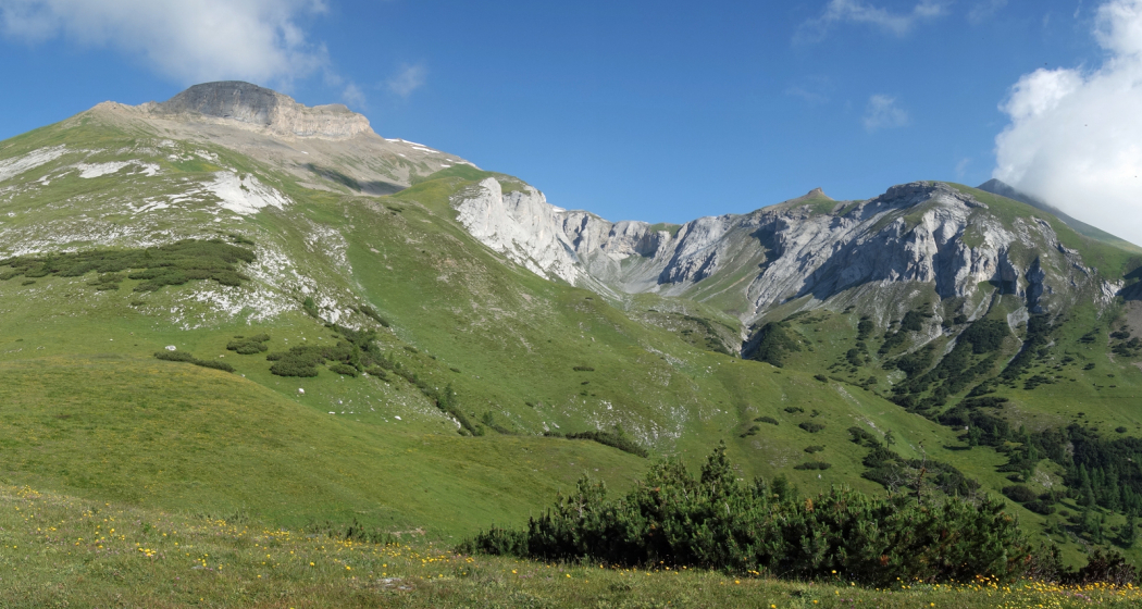
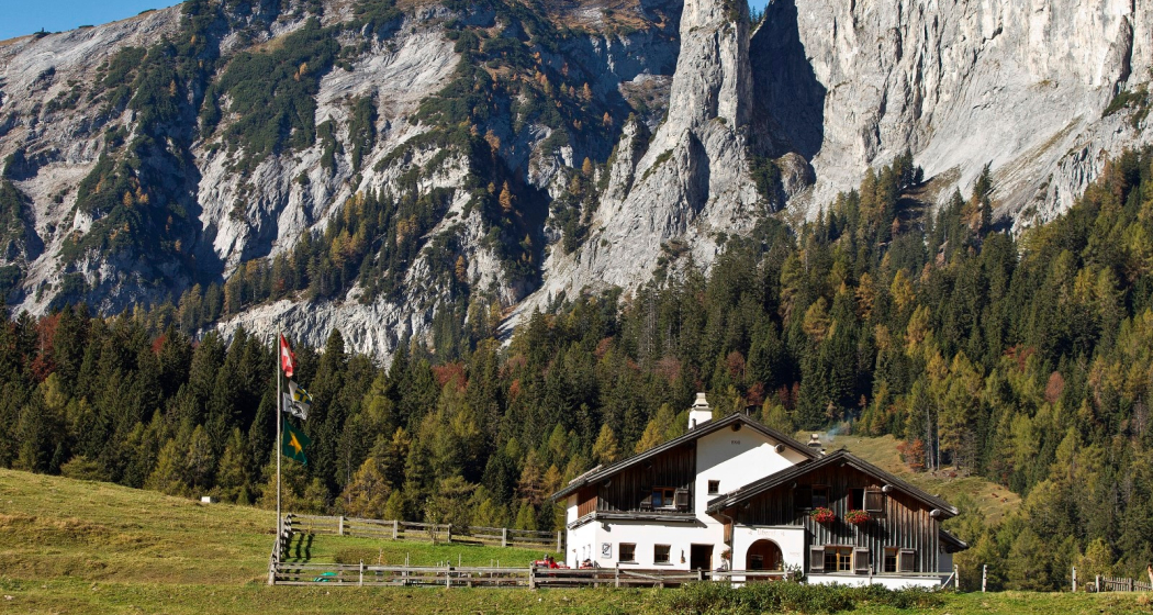
The Chur city bus no. 3 takes you to the starting point in the village of Haldenstein. Follow the well-marked path to the Calanda mountain hut. On the way up, you will pass by the alps of Arella and Nesselböden. Continuously walking up-wards you will reach the alp Altsäss. From there it's just 100 meters in height to the Calanda hut (2073 m.).

The optional, but well worth ascent to the Calanda peak (Haldensteiner Calanda, 2'805 m) means an additional 730 meters of height difference and appr. 2 hours walking time. Recommended with overnight in the Calanda hut and ascent at sunrise. On the Calanda peak you will enjoy fantastic panorama views. If you just walk as far as the Calanda hut, you can enjoy some food and drinks there before the way back.

For the descent walk southwards along to the Felsberger Älpli. The descent to Felsberg is leisurely at first, but continuously getting steeper while descending. Leave the village of Felsberg on the right hand side and follow the Rhine river for a short distance. After crossing the Rhine river walk through the Rossboden and at the P & R parking area Obere Au you can take the bus back into the city.
Responsible for this content Chur Tourism.
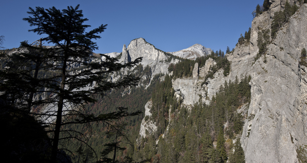
Felsberger Älpli - Kunkelspass

Difficult
26 km
7:30 h
1580 mhd
1580 mhd
Blick von der gegenüberliegenden Seite auf das Calanda Massiv
Berggasthaus Überruf am Kunkelspass

Show all 5 images

Blick zurück auf den legendären Kunkelspass
Impressive tour into the mountain world of Chur, at the mountainside of the mighty Calanda massif.
Technique 3/6
Fitness 5/6
Highest Point  2080 m
Lowest Point  565 m
Best Season
Jan
Feb
Mär
Apr
Mai
Jun
Jul
Aug
Sep
Okt
Nov
Dez
Start
Felsberg
Destination
Felsberg
Coordinates
46.84458, 9.47677

Details

Description

To Felsberg you can get easily from Chur with the city bus (line 1) or the Rhaetian Railway. After a steep ascnet you will be rewarded by a gorgeous scenery and unique views on the mountain and into the valley. If you are lucky, you can even spot some wild animals (chamois, alpine ibex) in the surroundings of this tour. At the Kunkelspass is the ideal point for a break at the restaurant Überruf. The way back into the valley along Foppaloch, Benis Boden and along the Senda Sursilvana is worthwile, as well.

Responsible for this content Chur Tourism.