Name plural
Theme SUI
Original Name
Theme SUI
discover.swiss ID
sui_root

708 Vertigo: Section 2

Difficult
0.8 km
0:05 h
0 mhd
160 mhd
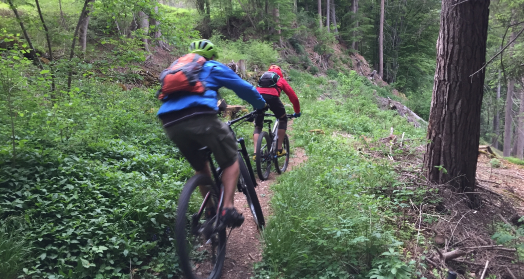
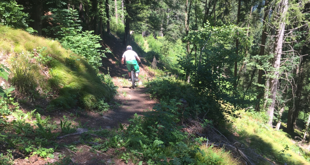
708 Vertigo: Sektion 3
708 Vertigo: Sektion 2 (oua_59381259_f28ae81_profile)
708 Vertigo: Section 2
Technique /6
Fitness /6
Highest Point  1012 m
Lowest Point  852 m
Best Season
Jan
Feb
Mär
Apr
Mai
Jun
Jul
Aug
Sep
Okt
Nov
Dez
Coordinates
46.837786, 9.53203

Details

Responsible for this content Graubünden Ferien.

708 Vertigo: Section 3

Difficult
1 km
0:05 h
0 mhd
227 mhd
708 Vertigo: Sektion 3
708 Vertigo: Sektion 3 (oua_59381264_ef46109_profile)
708 Vertigo: Section 3
Technique /6
Fitness /6
Highest Point  852 m
Lowest Point  625 m
Best Season
Jan
Feb
Mär
Apr
Mai
Jun
Jul
Aug
Sep
Okt
Nov
Dez
Coordinates
46.841227, 9.532347

Details

Responsible for this content Graubünden Ferien.

707 Chur Flow: Section 3

Simple
1.6 km
0:05 h
0 mhd
219 mhd
Chur Flow Trail im Alpenbikepark Chur
707 Chur Flow: Sektion 3 (oua_59381293_6e39ee0_profile)
707 Chur Flow: Section 3
Technique /6
Fitness /6
Highest Point  851 m
Lowest Point  632 m
Best Season
Jan
Feb
Mär
Apr
Mai
Jun
Jul
Aug
Sep
Okt
Nov
Dez
Coordinates
46.841115, 9.532592

Details

Responsible for this content Graubünden Ferien.

Haldensteiner Calanda

Difficult
16.2 km
8:05 h
2344 mhd
2344 mhd
Blick von Vättis hoch zum Calanda
Dorf Vättis mit dem Calanda im Hintergrund

Show all 3 images

Haldensteiner Calanda (oua_33755936_2a8308a_profile)
On Vättis' proud local mountain.
Technique 5/6
Fitness 6/6
Highest Point  2804 m
Lowest Point  943 m
Best Season
Jan
Feb
Mär
Apr
Mai
Jun
Jul
Aug
Sep
Okt
Nov
Dez
Start
Vättis
Destination
Vättis
Coordinates
46.910159, 9.440518

Details

Description

The mountain tour to Vättis' local mountain is challenging and only recommended for experienced mountaineers. The very steeply ascending mountain path leads from Vättis through dense fir forest over rock steps to the Gonschrolaboden. Between imposing rock faces you reach the Tüfelschilchli. In an airy, easy ridge walk you reach the summit after 1862 meters of altitude with a fantastic panoramic view. Calanda is home to a large ibex colony, almost certainly, you can observe the proud Graubünden heraldic animals with their majestic antlers on every tour.

Sicherheitshinweis

Some parts of the route can be slippery depending on the weather.

Ausrüstung

Normal hiking equipment, very stable mountain boots.

Directions

Vättis – Gonscherolaboden – Haldensteiner Schaftäli – Tüfelschilchli – Haldensteiner Calanda – Tüfelschilchli – Haldensteiner Schaftäli –Gonscherolaboden - Vättis

Descent variants: Via Calanda SAC hut and to the Vazer Alp (time 3h)

Directions

Public Transport

Arrival by train to Bad Ragaz and Postbus to Vättis

Daily to Bad Ragaz, continue by bus 451 direction Vättis, village to stop Vättis, Dorf.

Anreise Information

Motorway exit Bad Ragaz, take the mountain road in the direction of Pfäfers/Valens to Vättis.

Responsible for this content Graubünden Ferien.
This content has been translated automatically.

Piz Scalottas - Brambrüesch

Medium
16.6 km
7:25 h
880 mhd
1611 mhd
Piz Scalottas.
Scalottas Terrasse Sommer

Show all 11 images

June Hütte Sommer
A ridge walk from Piz Scalottas to Brambrüesch. Endless , beautiful panorama included.
Technique /6
Fitness 4/6
Highest Point  2573 m
Lowest Point  1588 m
Best Season
Jan
Feb
Mär
Apr
Mai
Jun
Jul
Aug
Sep
Okt
Nov
Dez
Start
Piz Scalottas
Destination
Brambrüesch
Coordinates
46.721798, 9.510781

Details

Description

A long ascent to reach the ridge is not necessary on this tour. The two chairlifts Tgantieni and Scalottas go from Lenzerheide directly to Piz Scalottas. The time saved is needed for the full tour.

The hike leads from Piz Scalottas to Piz Danis and via Stätzerhorn and Fulhorn to Dreibündenstein. At Fulbergegg it descends towards Hühnerköpfe, Alp Malix and finally Brambrüesch, where the hike ends. From there you can take the cable car down to Chur.

The trail is exposed in places and requires surefootedness, but rewards you with a breathtaking panorama of Piz after Piz.

Geheimtipp

Those who do not want to do the whole tour can follow the hiking trail from Piz Danis towards Alp Stätz. There the cable car Heidbüel is waiting for you, with which you can comfortably ride down to Churwalden.

Ausrüstung

hiking boots

clothes suitable for the weather

Sufficient drinks and snacks for the tour

Directions

Piz Scalottas - Piz Danis - Stätzerhorn - Fulaberg - Fulhorn - Fulbergegg - Furggabüel - Hühnerköpfe - Alp Malix - Brambrüesch

Directions

Public Transport

With the sports bus from Lenzerheide to Val Sporz. The Tgantieni chairlift runs directly there. From Chur you can return to Lenzerheide by post bus.

Anreise Information

From Lenzerheide to the Val Sporz car park. As this is a route tour, however, we recommend travelling by public transport.

Parking

Val Sporz

Responsible for this content Graubünden Ferien.

Dreibündenstein Trail

Medium
17.3 km
2:05 h
364 mhd
1500 mhd
Dreibündenstein Trail
Spundis

Show all 6 images

Dreibündenstein Trail
This varied and panoramic trail connects the local mountain Brambrüesch in Chur with the Domleschg.
Technique /6
Fitness /6
Highest Point  2039 m
Lowest Point  682 m
Best Season
Jan
Feb
Mär
Apr
Mai
Jun
Jul
Aug
Sep
Okt
Nov
Dez
Coordinates
46.817884, 9.503647

Details

Description

The Dreibündenstein is a summit that is both a plateau and a place steeped in history. But the ascent to it must be earned. Not only the view is worthwhile, but also the long downhill run that leads to Domleschg. 

Responsible for this content Arosa Lenzerheide.

Outdooractive Logo

This website uses technology and content from the Outdooractive platform.

Antennatrail

Difficult
4.3 km
0:20 h
2 mhd
596 mhd
Antennatrail (oua_94756988_image)
Antennatrail Brambrüesch

Show all 6 images

Antennatrail Brambrüesch
Hidden trail highlight away from the well-known freeride routes of the Alpenbikepark.
Technique /6
Fitness /6
Highest Point  1761 m
Lowest Point  1165 m
Best Season
Jan
Feb
Mär
Apr
Mai
Jun
Jul
Aug
Sep
Okt
Nov
Dez
Coordinates
46.816554, 9.509091

Details

Description

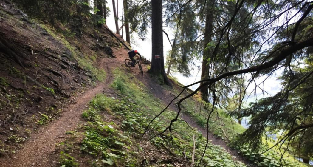
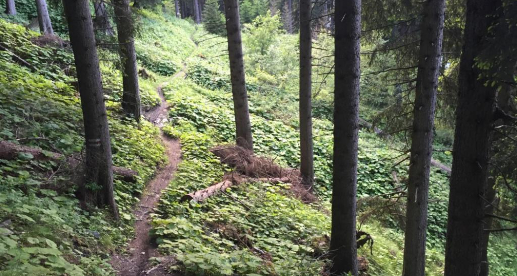
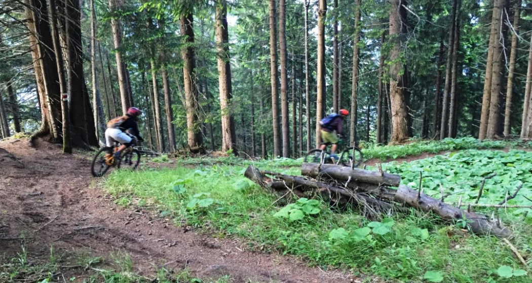
This narrow trail has it all: It leads amazingly flat and flowing through a remote and steep terrain. Every now and then it goes up and down easily, only rarely do you have to apply the brakes properly. You'll get a real flow when you ride through this magical forest - but don't be tempted too hard and lose concentration, because there are some exposed parts. Roots and also stones make the trail technically interesting - much more difficult to ride in wet conditions than in dry ones.

Responsible for this content Arosa Lenzerheide.

Outdooractive Logo

This website uses technology and content from the Outdooractive platform.