Name plural
Activities
Original Name
Activities
discover.swiss ID
sui_01

Brambrüesch - Känzeli

Simple
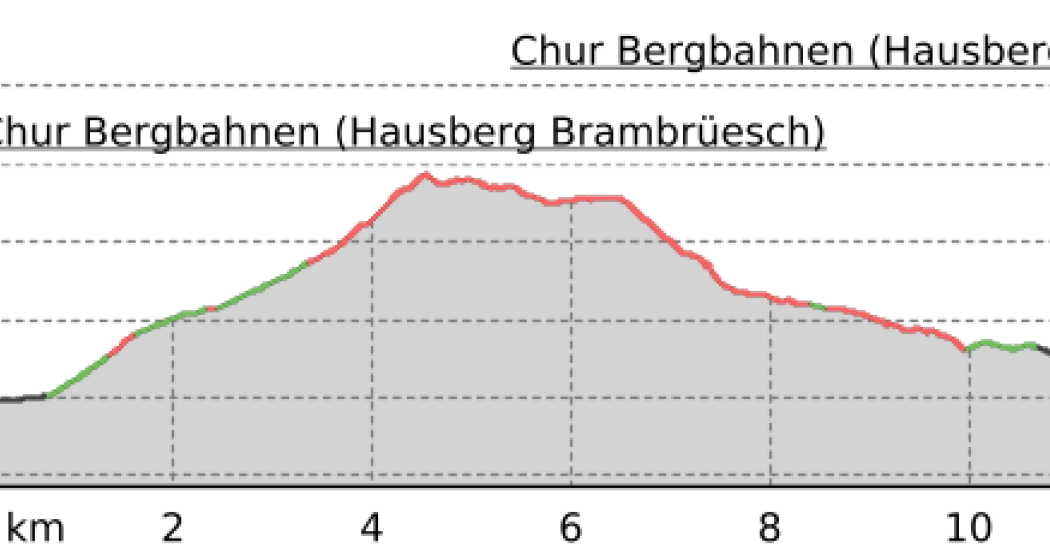
5.4 km
1:30 h
21 mhd
429 mhd
Brambrüesch - Känzeli

Show all 5 images

532 Brambrüesch-Feldis Trail (GR 1)
This easy hiking tour is perfect for people who like leisurely walking with panoramic views.
Technique 1/6
Fitness 1/6
Highest Point  1605 m
Lowest Point  1179 m
Best Season
Jan
Feb
Mär
Apr
Mai
Jun
Jul
Aug
Sep
Okt
Nov
Dez
Start
Brambrüesch, top station of gondola
Destination
Känzeli, middle station of gondola
Coordinates
46.828999, 9.516007

Details

Description

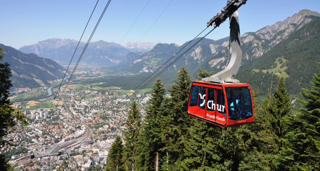
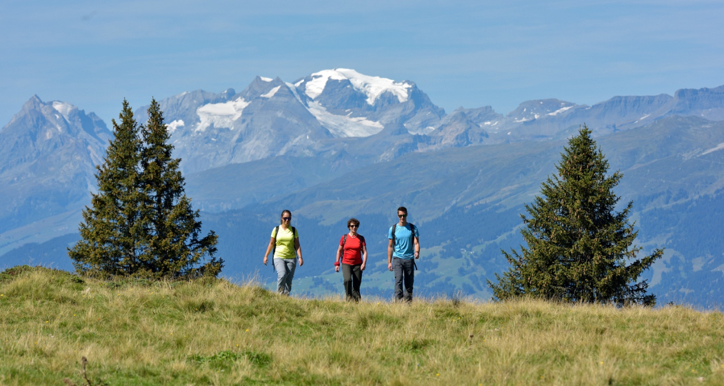
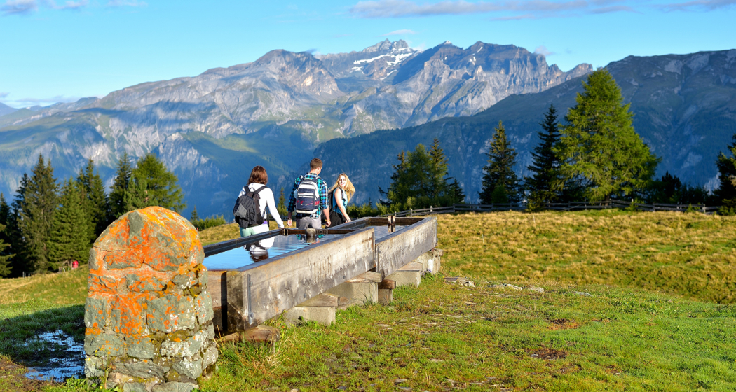
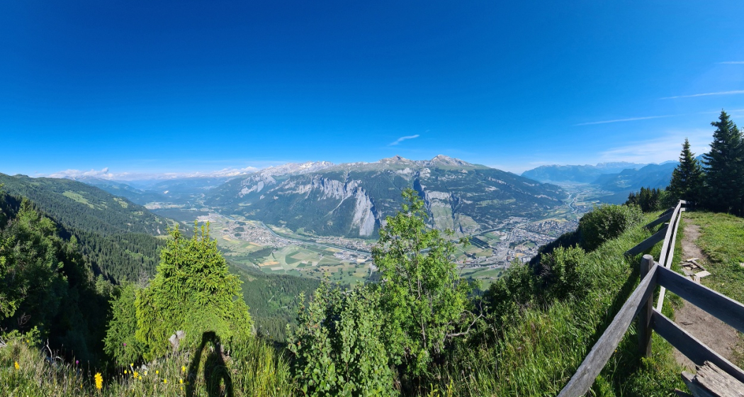
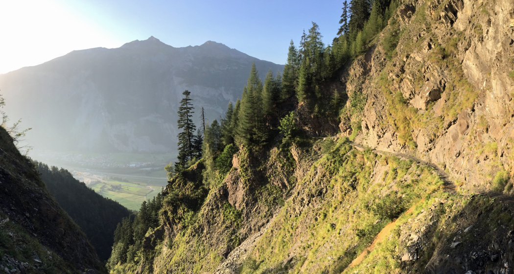
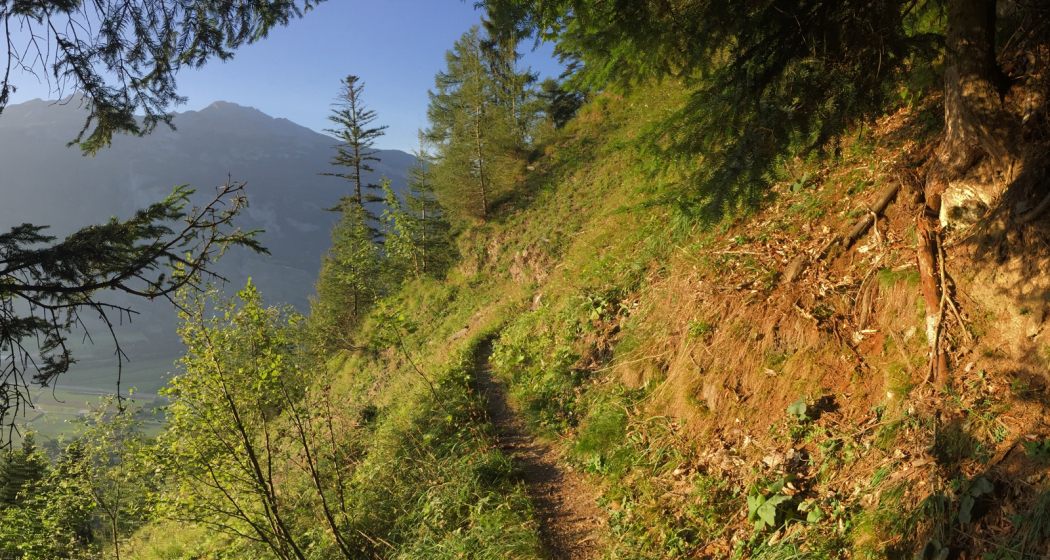
The ascent to Brambrüesch you conquer on this tour very comfortable, namely with the gondola from Chur. Arrived on the high plateau, exactly 1'000 meters above the city of Chur, you walk leisurely from the mountain station straight ahead past several mountain restaurants: Battagliahütte, VIVA berg.baiz and Malixerhof. So if you want to enjoy the view on a sun terrace, has a good selection. At the Malixerhof, it finally goes down towards the middle station Känzeli. The path runs parallel to the toboggan run, but is wide enough to accommodate sledgers and hikers. In contrast to the toboggan offer the winter hiking trail works even if there is little or no snow. Following the path gently downhill, you can enjoy the scenery and views. In between, you walk in the shadow of the woods, then come again longer open sections. In the middle section, the panorama into the Schanfigg Valley with Hochwang, Arosa Weisshorn, Strela Pass and Weissfluhgipfel is especially beautiful. Just before you arrive at the Känzeli, the view of the city of Chur and the Grisons Rhine Valley becomes clear. From the middle station Känzeli you can then comfortably hover with the gondola back to the valley.

Directions

Public Transport

Take the train to Chur station. From there, the city bus (line 1) takes 3 minutes to the valley station of the mountain railways (Stadthalle/Brambrüeschbahn stop).

Anreise Information

  • Motorway exit Chur Süd
  • Drive into the city (Kasernenstrasse)
  • The valley station and car park are on the right-hand side in front of the town centre

Parking

More about parking for guests of the Chur mountain railways.

Responsible for this content Brambrüesch.
This content has been translated automatically.

Brambi Flow (701)

Simple
2.4 km
0:15 h
0 mhd
407 mhd
Flowtrail Alpenbikepark Chur
Brambi Flow (701)

Show all 6 images

Alpenbikepark Chur
The Brambi Flow is a freeride flowtrail in the upper section of the Alpenbikepark Chur.
Technique 2/6
Fitness 2/6
Highest Point  1593 m
Lowest Point  1186 m
Best Season
Jan
Feb
Mär
Apr
Mai
Jun
Jul
Aug
Sep
Okt
Nov
Dez
Start
Brambrüesch, top station of gondola
Destination
Känzeli, middle station of gondola
Coordinates
46.829436, 9.516247

Details

Description

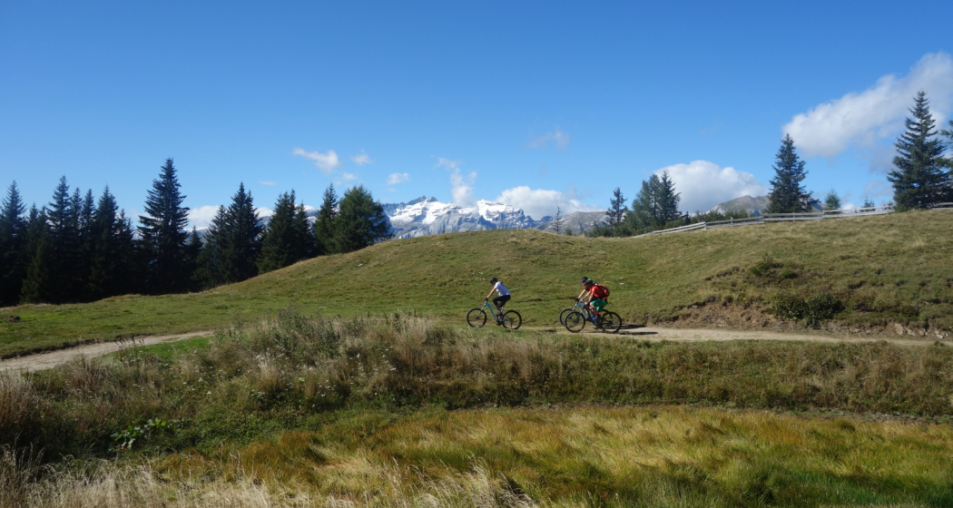
The Brambi Flow Trail is designed that it can be operated even by beginners as a twisty singletrail. Many riparian curves provide a powerful flow and lots of fun, whether biking freeride or cross country.

Directions

Public Transport

Take the train to Chur station. From there, the city bus (line 1) takes 3 minutes to the valley station of the mountain railways (Stadthalle/Brambrüeschbahn stop).

Anreise Information

  • Motorway exit Chur Süd
  • Drive into the city (Kasernenstrasse)
  • The valley station and car park are on the right-hand side in front of the town centre

Parking

More about parking for guests of the Chur mountain railways.

Responsible for this content Brambrüesch.
This content has been translated automatically.

Hotel Chur

Climbing center Ap'n Daun Chur

Kletterzentrum Ap n'Daun Chur

Show all 9 images

Kletterzentrum Ap n'Daun Chur
Everything the climber's heart desires. Attractive climbing opportunities for all levels of difficulty.

Description

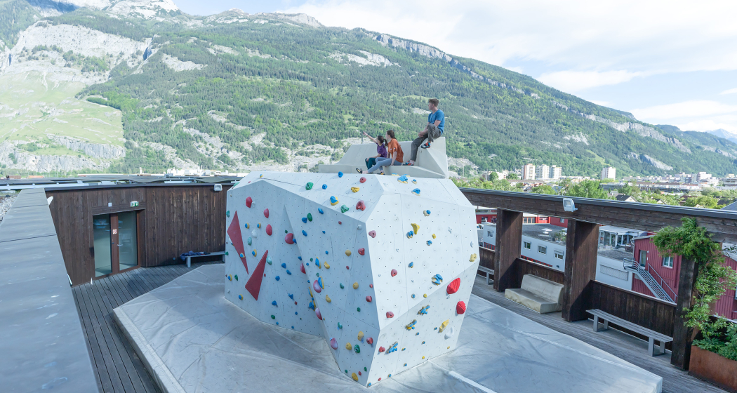
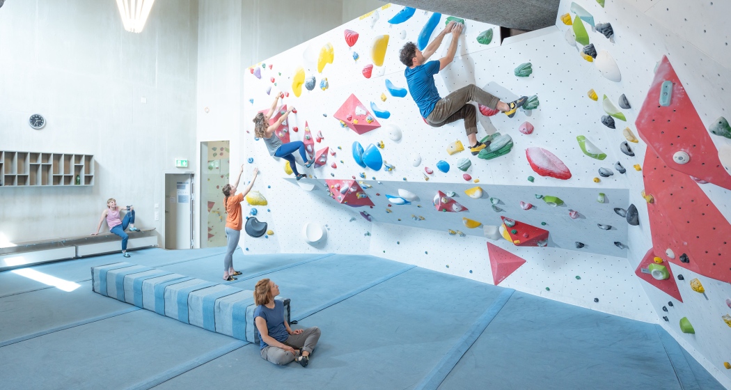
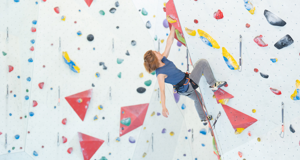
The Ap'n Daun climbing centre offers everything a climbing enthusiast could want over an area of 2,000 square meters: a main hall including gallery with various wall structures, two boulder rooms, a training site with a practice wall, and a balcony with a spacious outdoor climbing area - mountain view included. The climbing centre thus offers attractive climbing opportunities for all levels of difficulty. Numerous indoor and outdoor courses for young and old, beginners and professionals, complete the facilities. The equipment can be rented on site.

Immerse yourself in the thrilling world of this vertical sport. Have a go at climbing and bouldering, whether as an individual, couple, family or group. We will guide you through this fascinating leisure activity – in a safe, competent and fun way. Our centre, complete with bistro and shop, is open all year round.

Opening hours

  • Monday - Friday: 9 am - 10.30 pm
  • Saturday + Sunday: 10 am - 7 pm

Contact

Responsible for this content Chur Tourism.

Simple
25 km
6:25 h
440 mhd
950 mhd
Rheinschlucht
Churer Altstadt

Show all 6 images

Alpenstadt Chur
This stage is completely under the spell of the Flims landslide. The extent of this can be experienced impressively from the new viewing platform near Conn. Gold was mined at Calanda, between Tamins and Felsberg, in the 19th century.
Technique /6
Fitness 6/6
Highest Point   m
Lowest Point   m
Best Season
Jan
Feb
Mär
Apr
Mai
Jun
Jul
Aug
Sep
Okt
Nov
Dez
Start
Laax
Destination
Chur
Coordinates
46.820350246328, 9.2649899753137

Details

Description

This stage focuses on the fascination of the Flims rock slide. Gain an impression of its dimension from the new vantage platform at Conn. Gold was mined at Calanda, between Tamins and Felsberg, in the 19th century.

Book Package «Senda Sursilvana»  and benefit from the free luggage transport from hotel to hotel.

Geheimtipp

Long section, please note overnight accommodation possibility in Tamins

Responsible for this content SwitzerlandMobility.
This content has been translated automatically.

39 km
2:40 h
360 mhd
360 mhd
Churer Rheinroute 501, Pardislabrücke Haldenstein-Chur
Übergang Maschänser Rüfe

Show all 9 images

Trimmiser Mittelweg
Nothing but wine and water: on this circular route, you will discover the winegrowing villages between Chur and Landquart. The return journey takes place on the popular Rhine route and along the regional rivers Landquart and Plessur.
Technique /6
Fitness 2/6
Highest Point   m
Lowest Point   m
Best Season
Jan
Feb
Mär
Apr
Mai
Jun
Jul
Aug
Sep
Okt
Nov
Dez
Start
Chur
Destination
Chur
Coordinates
46.853287078552, 9.5299169101921

Details

Description

This varied loop tour begins in the middle of the Graubünden capital. But the busy city life is soon left far behind, because the route takes you on a tranquil neighbourhood road into nature. You cross the Fürstenwald, a popular local recreation area with views of the city and the Calanda. The historic Trimmiser Mittelweg then takes you through open pastures to the village of Trimmis. The route follows the "Bündner Rheintal Wine Trail" on several sections. Accordingly, it provides an insight into the local winegrowing culture. This has a long tradition as first mentions go back to the year 765. The Graubünden Rhine valley winegrowing region stretches from Bonaduz to Fläsch and covers around 420 hectares. Thanks to the mild climate and the foehn, the grapes thrive magnificently in the calcareous soils - especially the typical Blauburgunder variety.

Past the imposing, former moated castle of Marschlins, the route follows the Landquart river to the village of the same name. The Landquart has its source above Klosters, flows through the Prättigau valley and finally into the Rhine at Landquart. Here you return on the popular cycling route no. 2, the Rhine route. From Zizers, the path repeatedly follows the young Alpine Rhine. This has its source at the Oberalp pass as the Vorderrhein and at Rheinwald as the Hinterrhein. At Reichenau-Tamins, the two main arms join to form the Rhine. Switzerland’s largest river flows for a total of 1230 kilometres via Lake Constance through Germany, on to Holland, and into the North Sea.

At Haldenstein, you cross to the other river bank. At the level of the town of Chur, the cycle path crosses the Rhine again on the Pardisla bridge which was built especially for cyclists and pedestrians. Shortly afterwards you reach another regional river: the Plessur has its source in the mountainous area between Arosa and Lenzerheide, flows past Arosa through the Schanfigg valley and into the Rhine at Chur. The route follows the river, and over the arched bicycle and pedestrian bridge, built in 2020, you finally dive right into the centre of Chur with its picturesque, car-free old town. Before returning to the station, you can stop at one of the numerous restaurants with sun terraces. The tour comes to a leisurely end in the unique ambience of Switzerland's oldest city.

Directions

Public Transport

  • Start at railway station in Chur or Landquart

Anreise Information

  • On the motorway to Chur or Landuqart
  • Start at railway station in Chur or Landquart

Parking

  • Park & Ride at railway station in Chur or Landquart

Responsible for this content SwitzerlandMobility.

50 km
3:25 h
300 mhd
420 mhd
02.03 Rhein-Route Etappe 3 Chur - Buchs
02.03 Rhein-Route Etappe 3 Chur - Buchs (oua_8580518_6124df0_profile)
The Bündner Herrschaft, the fertile garden and wine region of the canton, is located on a mound of slate detritus. The Tamina Gorge carries healing water down to the valley and Johanna Spyri‘s Heidi is stirring up nostalgic feelings.
Technique /6
Fitness 4/6
Highest Point   m
Lowest Point   m
Best Season
Jan
Feb
Mär
Apr
Mai
Jun
Jul
Aug
Sep
Okt
Nov
Dez
Start
Chur
Destination
Buchs
Coordinates
46.85441765959, 9.5053531224222

Details

Description

The Bündner Herrschaft, Graubunden’s fertile garden and winery lies on a mound of slate detritus. Also the home of Heidi, Peter and Alpöhi (Heidi’s grandfather).

Directions

Chur - Igis - Maienfeld - Fläsch - Bad Ragaz - Sargans - Buchs

Responsible for this content SwitzerlandMobility.
This content has been translated automatically.

Simple
31 km
3:45 h
1000 mhd
900 mhd
Hinteres Taminatal
Das Dorf Vättis und der Kunkelspass von oben

Show all 7 images

Mapraggsee
The bike tour over the Kunkels Pass is a real classic and connects the spa town of Bad Ragaz in St. Gallen with Tamins in Grisons. At the same time, you completely circle the well-known Calanda Mountain.
Technique /6
Fitness 4/6
Highest Point   m
Lowest Point   m
Best Season
Jan
Feb
Mär
Apr
Mai
Jun
Jul
Aug
Sep
Okt
Nov
Dez
Start
Bad Ragaz
Destination
Tamins
Coordinates
47.009750789946, 9.5051280774612

Details

Description

From Bad Ragaz, the pass route, which was already used by the Romans, leads steadily uphill to the spa town of Valens. There you drive rather flat over the almost 100 meter high bridge further down to Vasön and the Mapragg reservoir. Before the dam, turn right and drive along the lakeshore before continuing on the main road at the end of the lake.


Through a wild valley basin with almost vertical mountain flanks rising on both sides, we continue to Vättis. The final ascent to the pass now runs away from traffic in an untouched, grandiose landscape. Shortly after the Eggwald mountain restaurant, you leave the canton of St.Gallen and you are now on Graubünden soil before you reach the top of the pass.


At the transition from the Tamina Valley to the Rhine Valley, the great differences on both sides of the watershed are astonishing. The descent to Tamins is a real treat with a view of the confluence of the Anterior and Rear Rhine.

Geheimtipp

A breather in the mountain restaurant Eggwald at Kunkelspass.

Sicherheitshinweis

The route runs partly on hiking trails, please be considerate of other trail users.

Ausrüstung

Normal bike equipment. Functional clothing is an advantage, as ascents and descents alternate.

Directions

Bad Ragaz - Valens - Vättis - Kunkelspass - Tamins

Directions

Public Transport

By train to Bad Ragaz.

Anreise Information

Motorway exit Bad Ragaz, then on the main road to the village center Bad Ragaz.

Parking

Public parking available at the parking garage zentrum (chargeable)

Responsible for this content Graubünden Ferien.
This content has been translated automatically.
Medium
23 km
2:30 h
1150 mhd
1150 mhd
Alp Sura Calanda
Alpr Sura Lagmiert

Show all 4 images

Panorama Alp Sura Flimsberg
This tour is certainly an experience, featuring a tasty ascent up to the Rhäzünser Alp Sura, wonderful panoramic views of the mountain scenery around Flims, the Calanda and the Graubünden Rhine valley, followed by a fast-flowing descent on single trails.
Technique /6
Fitness 4/6
Highest Point   m
Lowest Point   m
Best Season
Jan
Feb
Mär
Apr
Mai
Jun
Jul
Aug
Sep
Okt
Nov
Dez
Start
Rhäzüns
Destination
Rhäzüns
Coordinates
46.799042540309, 9.3991089621148

Details

Description

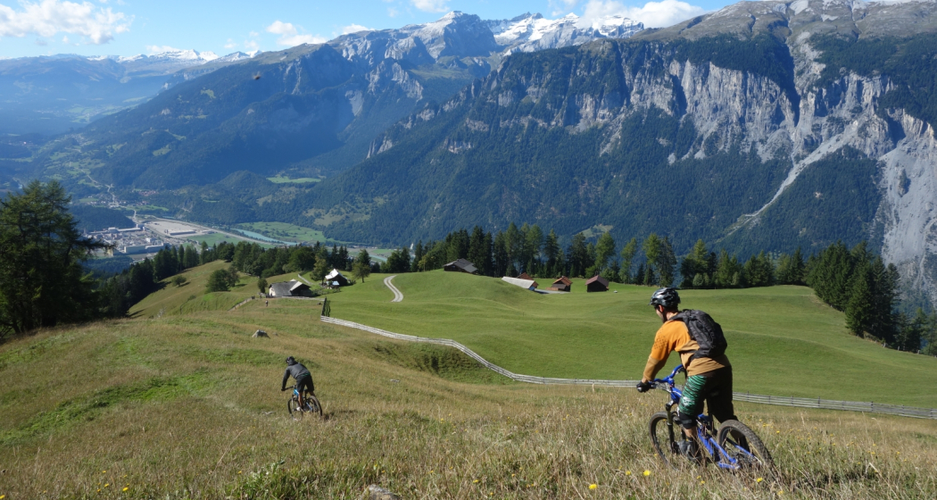
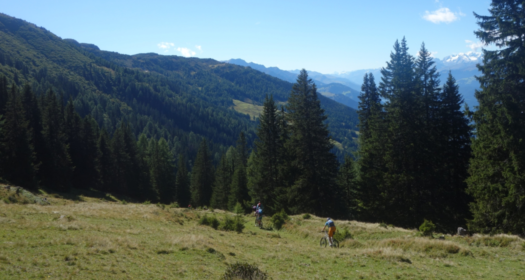
From the railway station at Rhäzüns the route takes us along the Alpstrasse up to the Rhäzünser Alp Sura. There are several village fountains along the way, ideal for topping up those water bottles with good, fresh Rhäzüns water in preparation for the ascent. As the unsurfaced track continuously winds its way upwards, it's a sweat-inducing ascent that calls on reserves of endurance. Once we have passed the culms da razén (Rhäzüns pasture huts), we deserve a short break at the Lag Miert mountain lake. From its idyllic high-plateau setting, the small lake radiates peace and tranquillity, strengthening our resolve before we tackle the final and somewhat flatter ascent to the Rhäzünser Unteralp. By the time we hear the welcome shrieks of the marmots we know we have reached the highest point on the tour, the Alp Sura (Rhäzünser Oberalp). We are amply rewarded for our efforts on the ascent with stunning panoramic views of the Vorab, the Tschingelhörner, the Ringelspitz and the Calanda, the Rhine valley around Chur, and the Safier and Domleschg mountains. The downhill run begins gently enough along the Alpstrasse to the Bonaduzer Alp il Bot. Then it really begins to gather pace at the branch-off after Scardanal before turning technical on the single trail after Salums and Prau Videun. It's a real treat, with a fast-flowing run back down to Rhäzüns.

Directions

Rhäzüns - Mulin Sura - Rhäzünser Alp Sut - Rhäzünser Alp Sura - Alp il Bot - Scardanal - Salums - Prau Videun - Figiu - Puleras - Rhäzüns

Directions

Public Transport

By train to Rhäzüns.

Anreise Information

Take the A13/E43 in the direction of Chur and to Rhäzüns.

Responsible for this content SwitzerlandMobility.
This content has been translated automatically.
Geschlossen
Medium
20 km
6:15 h
1250 mhd
360 mhd
Heidsee, Lenzerheide
Arcasplatz, Chur

Show all 7 images

Bündner Kunstumseum, Villa Planta
From the episcopal city of Chur up to the spa hotel Passugg with its mineral springs. Past the ruins of Strassberg Malix Castle, once a customs station on the Septimer route. Continue to the Churwalden monastery church, across the heights of the Parpaner Höhe and around the Heidsee lake to the original Maiensäss (summer pasture) village of Lenzerheide.
Technique /6
Fitness 6/6
Highest Point   m
Lowest Point   m
Best Season
Jan
Feb
Mär
Apr
Mai
Jun
Jul
Aug
Sep
Okt
Nov
Dez
Start
Chur
Destination
Lenzerheide
Coordinates
46.853222455222, 9.5300062165975

Details

Description

The episcopal city of Chur is considered to be the oldest city in Switzerland. The wild Rabiosa Gorge with its Passugg mineral springs runs through the German-speaking Churwaldner Valley. The spa hotel still bears witness to the Passugg spa business from the interwar period. Cultural sights from medieval times include the ruins of Strassberg Malix Castle, the monastery church of Churwalden and the Reformed church of Parpan with its free-standing church tower.

Stages:

64: Complete tour ViaSett

64.02: Lenzerheide - Tiefencastel

64.03.: Tiefencastel - Savognin

64.04: Savognin - Bivio

64.05.: Bivio - Vicosoprano

64.06.: Vicosoprano - Chiavenna

Audio guide for your smartphone

With our new acoustic hiking guide, you will learn interesting facts about nature and culture, history and legends along the Via Sett.

Learn more:

https://www.graubuenden.ch/de/news/graubuenden-akustik-erleben  

Geheimtipp

Via Sett is accessible from mid-June to mid-October, depending on weather conditions. The 93 km long long-distance hike from Chur (CH) to Chiavenna (IT) can be hiked in 6 or 7 daily stages. The average walking time per day is 4 - 7 hours.

Book Via Sett now at:

www.bike-explorer.ch/touren/hike/sett

BIKE EXPLORER

+41 81 356 22 44

info@bike-explorer.ch

www.bike-explorer.ch

Responsible for this content SwitzerlandMobility.
This content has been translated automatically.
Brambrüesch–Pradaschier Trail

8 km
5:00 h
680 mhd
540 mhd
Unterwegs vom Dreibündenstein Richtung Windegga/Pr
Aufstieg nach dem Spundiswald

Show all 7 images

Im Morgenlicht unterwegs
This tour over the Dreibündenstein connects the regions of Chur and Lenzerheide for snowshoe hikers. Great vistas and an optional downhill run experience make them a real insider tip.
Technique /6
Fitness 6/6
Highest Point   m
Lowest Point   m
Best Season
Jan
Feb
Mär
Apr
Mai
Jun
Jul
Aug
Sep
Okt
Nov
Dez
Start
Chur, Brambrüesch
Destination
Churwalden, Pradaschier
Coordinates
46.828795460085, 9.5159724733297

Details

Description

Near the historic part of Chur, the aerial tramway takes off in the direction of Brambrüesch. The holiday spirit is already in the air here: the short ride along the ridge offers a marvellous view of Switzerland’s oldest town.

Once arrived on the hilly plateau, you can set foot on the scenic Alps and marvel at the panorama with mountains around Arosa, Schanfigg and Lenzerheide.

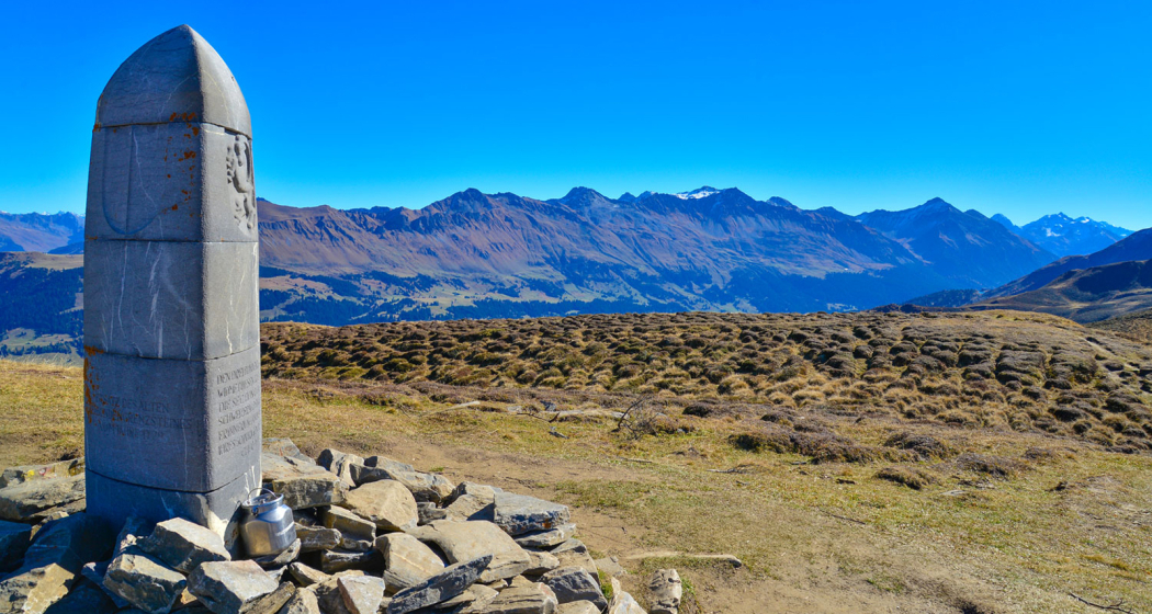
Through the forest the trail continues until the glade at Spundis, where the panorama opens up to the other side. At the horizon the impressive Tödi can be seen, during the further ascent the Calanda and Ringelspitz dominate the scenery. And soon comes the next targe: the chairlift station at Hühnerköpfe. Below of the chairlift the trail continues in direction of the highest point of the tour. At the Dreibündenstein with its stone monument of the former Three Leagues of Rhaetia, you can admire a 360-degree panorama extending from the town’s home mountains surrounding Chur, the Arosa and Lenzerheide, up to the Glarus Alps. Well visible on the Ringelspitz, lying opposite and reaching up to the Flims Mountains (Segnes, Tschingelhörner) is the UNESCO World Heritage site «Tektonikarena Sardona» (Glarus thrust).

You can start out on the snowshoe hike in Brambrüesch or Pradaschier. Either way: those who would like to can end the hike with a downhill run experience. Switzerland’s longest luge track promises a big adrenalin boost. From Brambrüesch, you can ride on a rental sled down to the Känzeli mid station.

Directions

Public Transport

Take the train to Chur station. From there, the city bus (line 1) takes 3 minutes to the valley station of the mountain railways (Stadthalle/Brambrüeschbahn stop).

Anreise Information

  • Motorway exit Chur Süd
  • Drive into the city (Kasernenstrasse)
  • The valley station and car park are on the right-hand side in front of the town centre

Parking

More about parking for guests of the Chur mountain railways

Responsible for this content SwitzerlandMobility.
This content has been translated automatically.