Event Chur

Peach Weber - King of Gäx

Peach Weber - King of Gäx (gdl_866338585_image)
Peach Weber "King of Gäx"

July 24, 2022 was one of the most important days in Peach's life.

Description

Date
19.11.2025 at 20:00 o'clock
Price
Category 1: 69,00 CHF
Category 2: 59,00 CHF
Category 3: 49,00 CHF
Category 4: 39.00 CHF
Ort
Kirchgemeindehaus Titthof

Peach Weber "King of Gäx"

July 24, 2022 was one of the most important days in Peach's life. There he was awarded the highest honorary title of the European entertainment scene in London: "King of Gäx". In the presence of the Queen, who was still more or less alive at the time, and Prince Charles, who was still on standby at the time, the Dean of the Royal University of Europeans Funniest People named him an honorary bearer of this title, which was awarded for only the third time after Charly Chaplin and Mister Bean. But Peach has nevertheless remained modest. He renounces a world career and continues to tour his beloved homeland, Switzerland. After countless awards, he even managed the Grand Slam of comedy: "Oltener Gurke", "Spreitenbacher Humorgarette", "Salzburger Goldhamster", now as a highlight the "King of Gäx".

Contributors:
Peach Weber

Veranstaltungsort

Kirchgemeindehaus Titthof

Tittwiesenstrasse 8, 7000 Chur

Responsible for this content Guidle.
This content has been translated automatically.

Guidle Logo

This website uses content from Guidle.
Event Chur

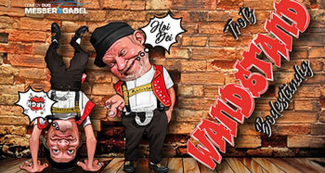
Comedy Duo Knife & Fork - WandStand

Comedy-Duo Messer&Gabel - WandStand (gdl_870073813_image)
The new stage program.

Description

Date
19.11.2026 from 20:00 to 22:15 o'clock
Price
1st category: CHF 61.50
2nd category: CHF 51.10
3rd category: CHF 40.80
Ort
Kirchgemeindehaus Titthof

Headlong into the comedy world! In their latest full-length program "WandStand", the popular comedy duo Messer & Gabel turn gravity upside down. Experience how the two make the audience laugh with a colorful mix of situation comedy, facial expressions and clever puns - from a completely new perspective!

"WandStand" invites you to leave everyday life behind and enter a world full of wit and humour. The two comedians juggle bizarre everyday moments and leave no eye dry. Be ready for a wall-witted program that will not only make you laugh, but also make you think.

Look forward to an unforgettable evening full of emotions, laughter and maybe a few unexpected surprises. Come by and experience Köbi and Jock from a new side - head over, but guaranteed with both feet firmly in life!

Veranstaltungsort

Kirchgemeindehaus Titthof

Tittwiesenstrasse 8, 7000 Chur

Responsible for this content Guidle.
This content has been translated automatically.

Guidle Logo

This website uses content from Guidle.

Event Chur

Ratlos - Kabarett.Stand Up.Limonade

Ratlos - Kabarett.Stand Up.Limonade (gdl_863955099_image)
Look forward to a funny comedy evening in Chur with Cenk

Description

Price
Seat 25.00 CHF
Seat with KulturLegi 10.00 CHF
Seat for children/young people 15.00 CHF
Zeit
Door opening: 19:00
Start: 19:30
Ort
Chur City Library

With his successful program "SCHLEIERHAFT", the Swiss stand-up comedian CENK made his audience laugh, ponder and fantasize. Now the award-winning comedian from Winterthur invites you on a new journey that is as personal as it is amusing.

In "RATLOS", CENK talks about the phase of his life with the least success - and the most advice.

The only question is: who really knows what to do in life?

With his usual charm and subtle irony, CENK shares his funniest, most honest and most absurd thoughts and questions the zeitgeist of a world full of self-discovery, contradictory advice and a never-ending quest for success.

CENK's new cabaret and comedy story is an invitation to leave the everyday pursuit of success behind for a while, take a deep breath and simply enjoy life. At least for one evening.


Note: This text was translated by machine translation software and not by a human translator. It may contain translation errors.

Veranstaltungsort

Chur City Library

Grabenstrasse 28, 7000 Chur

Responsible for this content Guidle.
This content has been translated automatically.

Guidle Logo

This website uses content from Guidle.
Event Chur

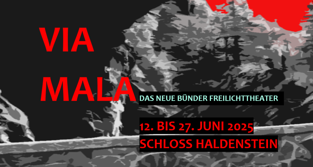
VIA MALA the new Graubünden open-air theatre

VIA MALA das neue Bündner Freilichttheater (gdl_863795569_image)
VIA MALA, a mountain drama of our homeland. Small and finely staged with the independent theatre Haldenstein. www.theater-haldenstein.ch/

Description

Date
12.06.2025 at 20:20 o'clock
13.06.2025 at 20:20 o'clock
14.06.2025 at 20:20 o'clock
17.06.2025 at 20:20 o'clock
18.06.2025 at 20:20 o'clock
19.06.2025 at 20:20 o'clock
20.06.2025 at 20:20 o'clock
24.06.2025 at 20:20 o'clock
25.06.2025 at 20:20 o'clock
27.06.2025 at 20:20 o'clock
Price
55.- Adults / 35.- Students and apprentices
Ort
Haldenstein Castle

"Nature up there is old, very old, much older than man and his memory." This is how John Knittel opens his novel; Via Mala, which quickly became the Best Zeller in 1932. During two world wars, there was a German edition and the history of the old sawmill in the Jeff of the Via Mala Gorge captivated people. Knittel's material has been filmed several times and Jonas Lauretz, the tyrant, has been embodied by well-known actors such as Gert Fröbe or Mario Adorf. On the 55th anniversary of the death of the writer buried in Maienfeld, the Graubünden theatre maker Annina Giovanoli takes up the story anew and brings it to the stage for the first time in Graubünden theatre history as a large open-air production. The mountain drama will be shown with a fine team of professional Bünde actors: amateurs and amateurs. from the region, which, accompanied by wondrous music, carry their history into the old castle courtyard of Haldenstein.

Veranstaltungsort

Responsible for this content Guidle.
This content has been translated automatically.

Guidle Logo

This website uses content from Guidle.
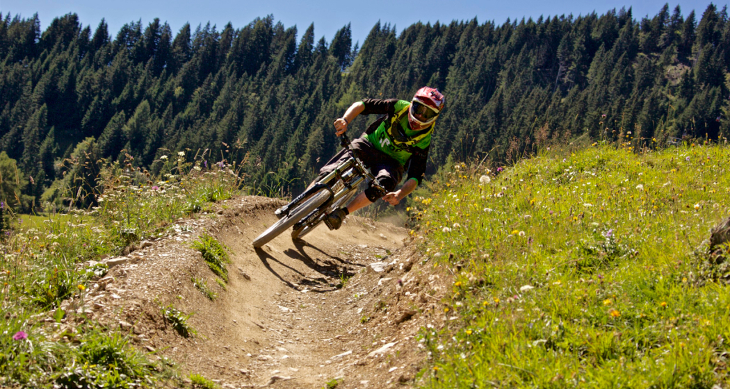
Enduro-Tour Spundis-Juchs

Difficult
11.7 km
1:20 h
227 mhd
1228 mhd
Abfahrt zur Alp Juchs
Alp Spundis, Ziel des des Aufstiegs

Show all 8 images

Beginn der Abfahrt nach Juchs
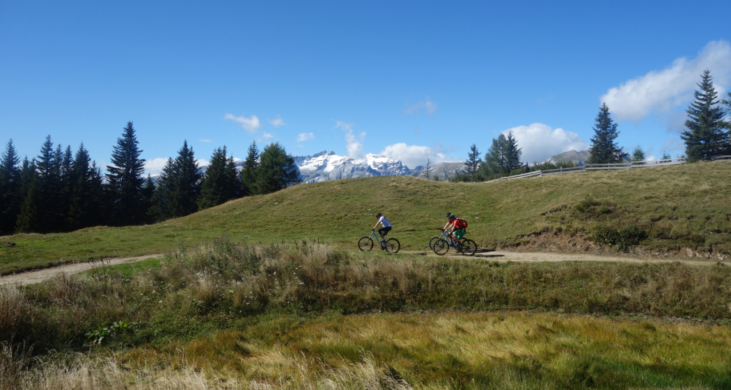
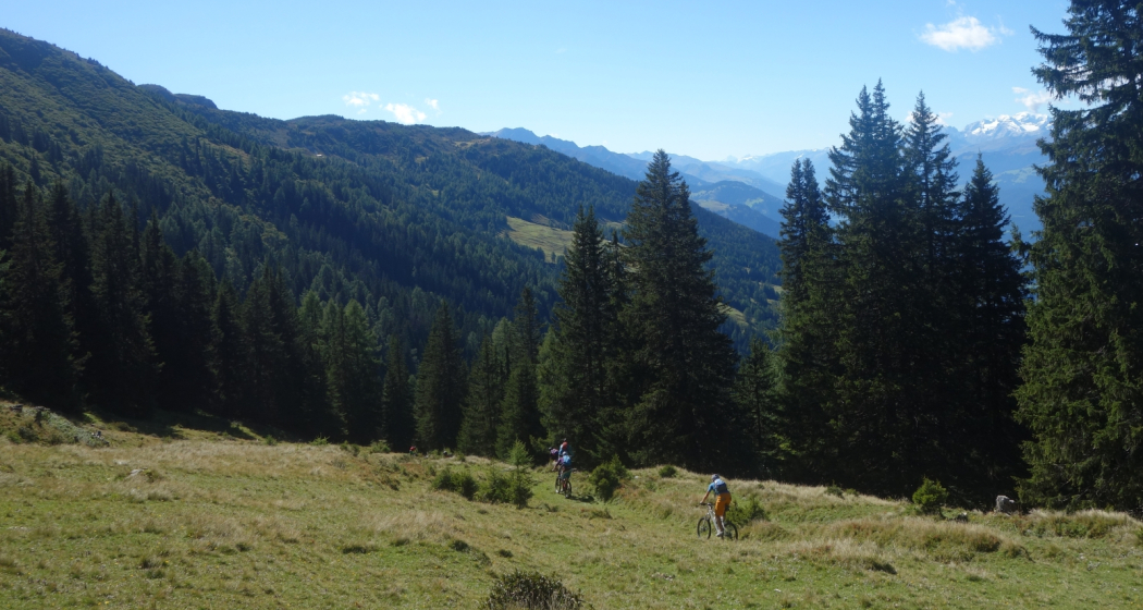
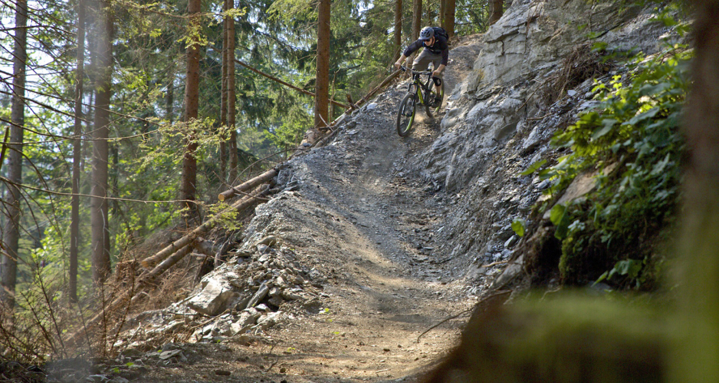
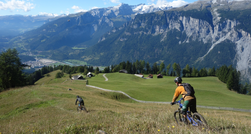
Short ascent, long descent - and what a great one! Something of the best when it comes to demanding single trail tours in the region.
Technique 3/6
Fitness 2/6
Highest Point  1818 m
Lowest Point  592 m
Best Season
Jan
Feb
Mär
Apr
Mai
Jun
Jul
Aug
Sep
Okt
Nov
Dez
Start
Brambrüesch, top station of gondola
Destination
Chur, valley station of gondola
Coordinates
46.829141, 9.516117

Details

Description

After the cableway ascent from Chur to Brambrüesch, a short and pleasant ascent over the Malixeralp to Lake Spundis follows. There you take the exit via Juchs to Chur. And it's got it in it! At the beginning a flowing trail leads across the meadows, which inspires jumps of joy. Later it becomes steeper and more demanding until you have crossed the ravine and descend over a meadow to Alp Juchs. After following the alp road for a short while, a hiking trail soon branches off to the left again. Now begins a technical, partially exposed single trail, traversed by demanding (but with some practice rideable - please avoid abbreviations) hairpin bends. The trail crosses the road several times until one follows the alp road a bit further down. And then after a bend another trail branches off to the right. Here begins a flow firework, the trail leads relatively flat in several sections up to the Rosenhügel above Chur. On this last section, especially before the curves, drive with foresight and caution, as hikers or bikers might also come across. From Rosenhügel one follows the road and behind the Welschdörfli through back to the valley station of the Chur cableways.

Directions

Public Transport

Take the train to Chur station. From there you can reach the valley station by bike in 5 minutes.

Anreise Information

  • Highway exit Chur Süd

  • Drive in direction of the city centre (Kasernenstrasse)

  • The valley station and parking lot are located in front of the city centre on the right-hand side.

Parking

Guests of the Chur cableways park for free at the parking lot at the cableway station. But you must indicate the plate number of your car at the cash desk!

Responsible for this content Brambrüesch.

Brambrüesch-Känzeli-Schlittelweg

Simple
4 km
0:30 h
0 mhd
400 mhd
Schlittelweg Brambrüesch mit Aussicht
Beim Start

Show all 7 images

Unterwegs
A few minutes to go up the mountain on the cable car to then go directly downhill at a racing speed: the ride from Chur’s home mountain, the Brambrüesch, to Känzeli leads through the forests and the Alps with a fantastic view of Schanfigg-Arosa.
Technique /6
Fitness /6
Highest Point   m
Lowest Point   m
Best Season
Jan
Feb
Mär
Apr
Mai
Jun
Jul
Aug
Sep
Okt
Nov
Dez
Start
Chur, Brambrüesch
Destination
Chur, Känzeli
Coordinates
46.827471520881, 9.5155411751768

Details

Description

It is just one kilometre from the railway station of Chur to the valley station of the modern Brambrüeschbahn cable car. From the town limits, the cable car first stops at the Känzeli mid station and then the gondola continues to the home mountain of Chur – continuously along the ridge and with a view of the town and the Rhine valley of Chur.

The sledding adventure starts at an altitude of exactly 1000 metres above the canton capital, either directly at the mountain station or alternatively a little down from there near the ski lift. The slope features fast downhills, sweeping curves and some straight and relaxing passages, as well. On these particularly you are able to enjoy the panorama into the Grisons alpine world: The pristine Schanfigg valley with its Walser villages literally lie at your feet and on the right side of the valley, the Arosa Weisshorn is well visible.

Thanks to the even slope, the sled run is ideal for families and children. As the grand finale before the finish line at the Känzeli mid station, the view once more trails over the valley deep down to Chur below.

Directions

Public Transport

Take the train to Chur train station. From there, the city bus (line 1) takes 3 minutes to the valley station of the mountain railways (Stadthalle/Brambrüeschbahn stop).

Anreise Information

  •  Motorway exit Chur Süd

  • Drive into the city (Kasernenstrasse)

  • The valley station and car park are on the right-hand side in front of the town centre

Parking

Large car park on Weststrasse, right next to the Brambrüeschbahn and in front of the town hall. It is a 5-10 minute walk to the old town and the city centre. 

Suitable for passenger cars and taller vehicles

Responsible: Chur City Police, +41 81 254 53 00

Responsible for this content Brambrüesch.
This content has been translated automatically.

Brambi Flow (701)

Simple
2.4 km
0:15 h
0 mhd
407 mhd
Flowtrail Alpenbikepark Chur
Brambi Flow (701)

Show all 6 images

Alpenbikepark Chur
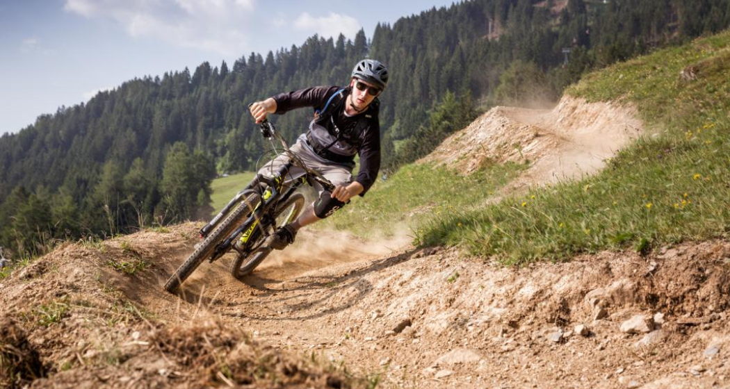
The Brambi Flow is a freeride flowtrail in the upper section of the Alpenbikepark Chur.
Technique 2/6
Fitness 2/6
Highest Point  1593 m
Lowest Point  1186 m
Best Season
Jan
Feb
Mär
Apr
Mai
Jun
Jul
Aug
Sep
Okt
Nov
Dez
Start
Brambrüesch, top station of gondola
Destination
Känzeli, middle station of gondola
Coordinates
46.829436, 9.516247

Details

Description

The Brambi Flow Trail is designed that it can be operated even by beginners as a twisty singletrail. Many riparian curves provide a powerful flow and lots of fun, whether biking freeride or cross country.

Directions

Public Transport

Take the train to Chur station. From there, the city bus (line 1) takes 3 minutes to the valley station of the mountain railways (Stadthalle/Brambrüeschbahn stop).

Anreise Information

  • Motorway exit Chur Süd
  • Drive into the city (Kasernenstrasse)
  • The valley station and car park are on the right-hand side in front of the town centre

Parking

More about parking for guests of the Chur mountain railways.

Responsible for this content Brambrüesch.
This content has been translated automatically.

Simple
31 km
3:45 h
1000 mhd
900 mhd
Hinteres Taminatal
Das Dorf Vättis und der Kunkelspass von oben

Show all 7 images

Mapraggsee
The bike tour over the Kunkels Pass is a real classic and connects the spa town of Bad Ragaz in St. Gallen with Tamins in Grisons. At the same time, you completely circle the well-known Calanda Mountain.
Technique /6
Fitness 4/6
Highest Point   m
Lowest Point   m
Best Season
Jan
Feb
Mär
Apr
Mai
Jun
Jul
Aug
Sep
Okt
Nov
Dez
Start
Bad Ragaz
Destination
Tamins
Coordinates
47.009750789946, 9.5051280774612

Details

Description

From Bad Ragaz, the pass route, which was already used by the Romans, leads steadily uphill to the spa town of Valens. There you drive rather flat over the almost 100 meter high bridge further down to Vasön and the Mapragg reservoir. Before the dam, turn right and drive along the lakeshore before continuing on the main road at the end of the lake.


Through a wild valley basin with almost vertical mountain flanks rising on both sides, we continue to Vättis. The final ascent to the pass now runs away from traffic in an untouched, grandiose landscape. Shortly after the Eggwald mountain restaurant, you leave the canton of St.Gallen and you are now on Graubünden soil before you reach the top of the pass.


At the transition from the Tamina Valley to the Rhine Valley, the great differences on both sides of the watershed are astonishing. The descent to Tamins is a real treat with a view of the confluence of the Anterior and Rear Rhine.

Geheimtipp

A breather in the mountain restaurant Eggwald at Kunkelspass.

Sicherheitshinweis

The route runs partly on hiking trails, please be considerate of other trail users.

Ausrüstung

Normal bike equipment. Functional clothing is an advantage, as ascents and descents alternate.

Directions

Bad Ragaz - Valens - Vättis - Kunkelspass - Tamins

Directions

Public Transport

By train to Bad Ragaz.

Anreise Information

Motorway exit Bad Ragaz, then on the main road to the village center Bad Ragaz.

Parking

Public parking available at the parking garage zentrum (chargeable)

Responsible for this content Graubünden Ferien.
This content has been translated automatically.

Medium
23 km
2:30 h
1150 mhd
1150 mhd
Alp Sura Calanda
Alpr Sura Lagmiert

Show all 4 images

Panorama Alp Sura Flimsberg
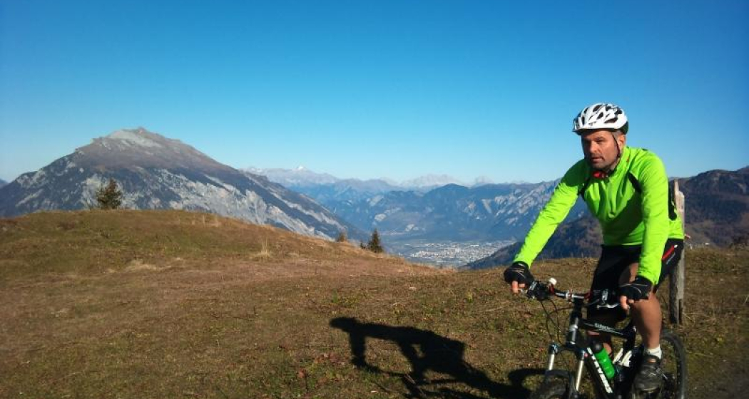
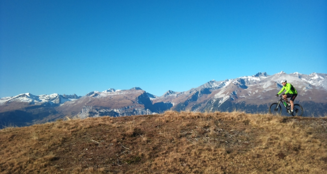
This tour is certainly an experience, featuring a tasty ascent up to the Rhäzünser Alp Sura, wonderful panoramic views of the mountain scenery around Flims, the Calanda and the Graubünden Rhine valley, followed by a fast-flowing descent on single trails.
Technique /6
Fitness 4/6
Highest Point   m
Lowest Point   m
Best Season
Jan
Feb
Mär
Apr
Mai
Jun
Jul
Aug
Sep
Okt
Nov
Dez
Start
Rhäzüns
Destination
Rhäzüns
Coordinates
46.799042540309, 9.3991089621148

Details

Description

From the railway station at Rhäzüns the route takes us along the Alpstrasse up to the Rhäzünser Alp Sura. There are several village fountains along the way, ideal for topping up those water bottles with good, fresh Rhäzüns water in preparation for the ascent. As the unsurfaced track continuously winds its way upwards, it's a sweat-inducing ascent that calls on reserves of endurance. Once we have passed the culms da razén (Rhäzüns pasture huts), we deserve a short break at the Lag Miert mountain lake. From its idyllic high-plateau setting, the small lake radiates peace and tranquillity, strengthening our resolve before we tackle the final and somewhat flatter ascent to the Rhäzünser Unteralp. By the time we hear the welcome shrieks of the marmots we know we have reached the highest point on the tour, the Alp Sura (Rhäzünser Oberalp). We are amply rewarded for our efforts on the ascent with stunning panoramic views of the Vorab, the Tschingelhörner, the Ringelspitz and the Calanda, the Rhine valley around Chur, and the Safier and Domleschg mountains. The downhill run begins gently enough along the Alpstrasse to the Bonaduzer Alp il Bot. Then it really begins to gather pace at the branch-off after Scardanal before turning technical on the single trail after Salums and Prau Videun. It's a real treat, with a fast-flowing run back down to Rhäzüns.

Directions

Rhäzüns - Mulin Sura - Rhäzünser Alp Sut - Rhäzünser Alp Sura - Alp il Bot - Scardanal - Salums - Prau Videun - Figiu - Puleras - Rhäzüns

Directions

Public Transport

By train to Rhäzüns.

Anreise Information

Take the A13/E43 in the direction of Chur and to Rhäzüns.

Responsible for this content SwitzerlandMobility.
This content has been translated automatically.

Difficult
54 km
17:30 h
1600 mhd
2100 mhd
90.02 Graubünden Bike Etappe 2 Laax - Untervaz (oua_86014166_image)
90.02 Graubünden Bike Etappe 2 Laax - Untervaz (oua_86014167_image)

Show all 4 images

90.02 Graubünden Bike Etappe 2 Laax - Untervaz (oua_86014168_image)
A biking classic over the Kunkelspass: the steep ascent is rewarded with great views and a long descent through the ruggedly romantic Taminatal valley. The last section leads high above the Bündner Rheintal between Landquart and Chur to Untervaz.
Technique /6
Fitness 6/6
Highest Point   m
Lowest Point   m
Best Season
Jan
Feb
Mär
Apr
Mai
Jun
Jul
Aug
Sep
Okt
Nov
Dez
Start
Laax
Destination
Untervaz
Coordinates
46.820350246328, 9.2649899753137

Details

Description

This mountain bike tour takes you from Laax to Untervaz through the breathtaking landscape of Graubünden. The route covers a total distance of 54 kilometers and offers a varied mix of asphalt roads, natural paths and exciting single trails.The starting point is picturesque Laax, a popular destination for outdoor enthusiasts. From here, the route first takes you through Conn, where you can enjoy the beauty of the Alpine landscapes. The route continues to Lake Cresta, an idyllic mountain lake that invites you to linger and is perfect for a short break.After a refreshing break, you continue your ride and arrive at Trin Mulin. This is where the exciting part of the tour begins, as you now ride on trails that take you through untouched nature. The single trails offer an intense riding experience and challenge your skills on the bike.The next section takes you to Tamins, where you tackle a climb to the Kunkelspass. This climb rewards you with spectacular views of the surrounding mountains and valleys - an unforgettable experience for any mountain bike enthusiast.

The next section takes you to Tamins, where you tackle a climb to the Kunkelspass. This ascent rewards you with spectacular views of the surrounding mountains and valleys - an unforgettable experience for any mountain bike enthusiast.From there, you descend through the high valley, past the Maparggsee lake and through St. Margrethenberg. The descent offers high speeds and thrills on trails and alpine roads that take you all the way to Untervaz.Untervaz marks the end of this adventurous tour, during which you will cover a total of 1,600 meters of ascent and 2,100 meters of descent. After an action-packed day on the bike, you can relax here and reflect on the day's experiences.Please note that this tour requires a certain amount of mountain biking experience and that participants should wear appropriate protective equipment. Please also respect nature and leave no traces behind to preserve the beauty of the landscape for future generations.

Geheimtipp

At the top of the pass, stop off at the restaurant and enjoy local delicacies.

Directions

Laax - Trin Mulin - Trin Digg - Tamins - Kunkelspass - Taminatal - St. Margretenberg - Untervaz

Responsible for this content SwitzerlandMobility.
This content has been translated automatically.