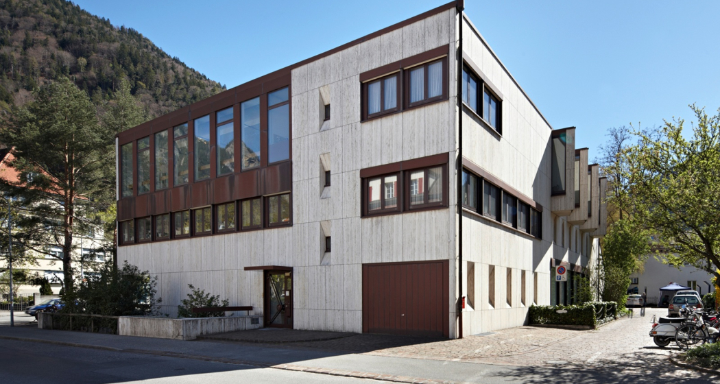
Via Son Giachen: Chur - Trin-Digg
Medium
17.3 km
4:55 h
499 mhd
284 mhd
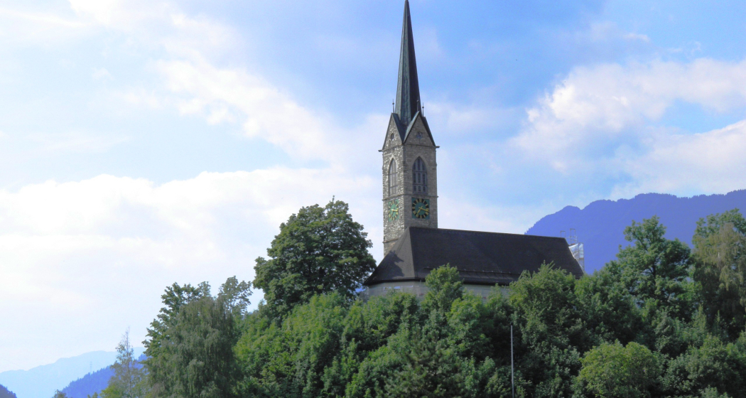
Kirche Tamins mal von der Bergseite
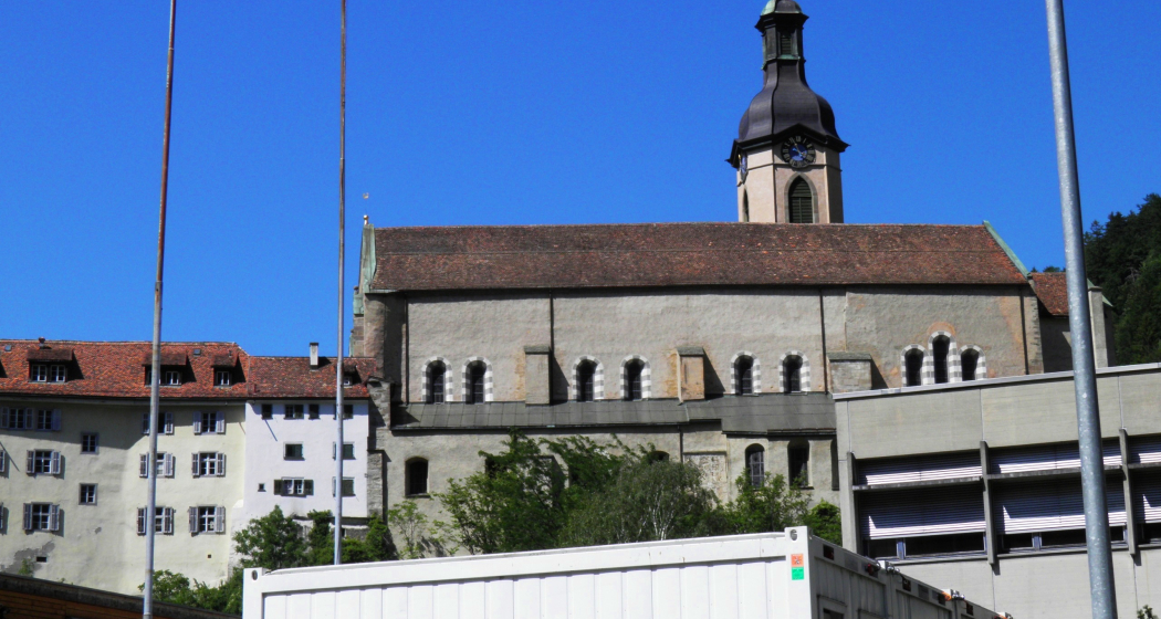
Kathedrale Chur

Show all 12 images

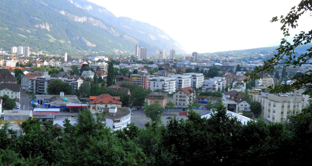
Blick am Morgen über Chur vom Fuss des Pizoggel
The pilgrimage route Via Son Giachen leads from South Tyrol through the Val Müstair in the canton of Graubünden towards Central Switzerland or Valais.  The partly alpine pilgrimage route is only accessible continuously in warm seasons.
Technique 2/6
Fitness 4/6
Highest Point  818 m
Lowest Point  571 m
Best Season
Jan
Feb
Mär
Apr
Mai
Jun
Jul
Aug
Sep
Okt
Nov
Dez
Start
Chur, Martinsplatz
Destination
District *Digg" of the place Trin/Digg
Coordinates
46.848316, 9.5327

Details

Description

This stage takes us from Chur towards the Graubünden Oberland, also called Surselva by the locals. From Chur, we initially hike along the southern edge of the wide Rhine valley and cross a few side valleys here. From Kalkofen, the path leads us to Domat/Ems, mostly across fields at the bottom of the valley. At Domat/Ems we first cross the tracks of the Rhaetian Railway at the station, then walk between the two hills "Tuma Tschelli" and "Tuma Casti" and then circle the second to the north. This brings us to the Rhine power plant, where we cross the weir to reach the island of Barnaus, which we leave a little upstream towards the north bank.
Here we reach the «Senda Sursilvana», the hiking trail through the Surselva, which will be part of our route again and again for the next few days. If the way to Trin-Digg is too long for you, you can already look for a suitable place to stay in Domat/Ems or Tamins.

Responsible for this content Graubünden Ferien.
This content has been translated automatically.

Via Son Giachen: Tschiertschen - Chur

Medium
11.6 km
3:30 h
109 mhd
857 mhd
Blick von Tschiertschen übers Schanfigg
reformierte Kirche von Inner Praden

Show all 11 images

Blick ob Usser Praden auf Maladers
The pilgrimage route Via Son Giachen leads from South Tyrol through the Val Müstair in the canton of Graubünden towards Central Switzerland or Valais. The partly alpine pilgrimage route is only accessible continuously in warm seasons.
Technique 2/6
Fitness 4/6
Highest Point  1343 m
Lowest Point  597 m
Best Season
Jan
Feb
Mär
Apr
Mai
Jun
Jul
Aug
Sep
Okt
Nov
Dez
Start
Tschiertschen, Church
Destination
Chur at Martinsplatz
Coordinates
46.817885, 9.606672

Details

Description

This stage takes us from Tschiertschen on the left bank of the Plessur via Praden and Passugg to Martinsplatz in Chur's old town. The Cathedral of Santa Maria in Chur is part of the bishopric there. Built on the foundations of a Roman fort, this is the oldest bishop's seat north of the Alps.
Our way leads us past Passugg with the former  Kurhaus there. The 5 healing springs bubbling up here with different chemical compositions were first mentioned in 1562. The spa was closed in 1979. Today, the building is used by the Swiss School of Tourism and Hospitality, the international Graubünden hotel management and tourism school, but also for local school operations.
Chur is the seat of the diocese of the same name and probably dates back to the 4th century, a bishop of the Diocese of Chur was first mentioned in a document in 451.

Geheimtipp

Chur is the capital of the canton of Graubünden and is a lively city for young and old.

Sicherheitshinweis

Detour Felsberg: The route will be diverted until further notice due to landslide. Redirection takes you 30 minutes more.

Directions

Be careful when crossing the Steinbachtobel: if the trail is poorly visible when crossing the (sometimes dry) stream bed, do NOT follow the stream bed in the fall line, but immediately look for the continuation of the trail on the other side ABOVE the stream bed. where the trail then initially follows the Steinbach parallel.

Responsible for this content Graubünden Ferien.
This content has been translated automatically.

Mittenberg circuit

Medium
9.1 km
1:35 h
513 mhd
513 mhd
Mittenberg
Aussicht auf die Stadt Chur

Show all 5 images

Aussicht in Richtung Passugg und die Bergwelt in Richtung Lenzerheide
This trail run starts in the middle of the city and first leads in the direction of Maladers. From there it continues up to Chur's Mittenberg. This is where the zigzag downhill starts back to Chur.
Technique 4/6
Fitness 3/6
Highest Point  1106 m
Lowest Point  593 m
Best Season
Jan
Feb
Mär
Apr
Mai
Jun
Jul
Aug
Sep
Okt
Nov
Dez
Start
Steinbruchstrasse in Chur
Destination
Steinbruchstrasse in Chur
Coordinates
46.851768, 9.535036

Details

Description

The tour starts in the old town of Chur and then leads over varied trails in the direction of Maladers. Shortly before entering the village, turn left and follow a hilly Panorama Trail, which offers a unique view of the city of Chur and the surrounding mountains. After a short final ascent to the Mittenberg, the breathtaking view can be enjoyed before the attractive downhill towards the starting point follows. The Mittenberg Circuit offers quick access to nature from the urban area and is a unique experience for beginners as well as advanced hikers.

Sicherheitshinweis

Running shoes with a good profile

Ausrüstung

Running shoes with a good profile

Responsible for this content Chur Tourism.
This content has been translated automatically.

Churer millstreams

Medium
10.7 km
2:40 h
60 mhd
53 mhd
Churer Mühlbäche
Ententeich

Show all 3 images

Churer Mühlbäche (oua_802246422_9729e63_profile)
The Chur mill streams are witnesses of days long past. Today, they still rush through Chur and offer a special kind of local recreation area in the Obere Au.
Technique 2/6
Fitness 3/6
Highest Point  609 m
Lowest Point  552 m
Best Season
Jan
Feb
Mär
Apr
Mai
Jun
Jul
Aug
Sep
Okt
Nov
Dez
Start
bus station Obere Au, Chur
Destination
bus station Obere Au, Chur
Coordinates
46.85809, 9.506397

Details

Description

Anyone walking through Chur often hears the water gurgling beneath them or sees small streams rushing past. No, it is not a sewer, it is the Chur mill streams. Since Chur itself has no water of its own and still obtains its drinking water from sources of value, the mill streams were the lifelines of the city for centuries. The Plessur as the dominant river in the landscape flows through Chur, but it has much of a wild mountain stream on which neither goods could be transported nor mills could be driven. Therefore, the construction of the mill streams was the prerequisite for a regulated water supply of Chur. They provided the city with service water and hydroelectric power and enabled industry and the population to survive in Chur. Did you know, for example, that the Chur Quadereis was produced annually with the water of the Mühlbach or that the repair workshop of the SBB was powered by the same water? 

Geheimtipp

  • The tour is suitable for strollers
  • The tour is wheelchair accessible
  • Book the tour as a culinary tour and enjoy a delicious 3-course menu during your tour

Ausrüstung

Comfortable footwear

Directions

You start your tour directly at the bus stop of the Obere Au. Follow the mill streams past the concrete garden and the Kneipp bath to coffee Merz. Cross the road and go under the highway along Pulvermühle street. Immediately after the roundabout on the right side of the road is the former Pulvermühle. Follow the road a little further and you will also see the mill streams open again. At the end of the Pulvermühle, directly at the roundabout, turn right and after a few meters you will see the mill streams again. Cross the road at the signalized crossing and follow Küblereiweg and later Vogelsangweg onto Sägenstrasse; turn right at the road junction near the climbing center. Follow Sägenstrasse until you have passed Merkle Metallbau and are in front of the CADA small power station. Continue along Sägenstrasse until you reach the roundabout, turn right there and continue to the end of the road. Turn left at the next roundabout and follow Kasernenstrasse to the entrance "Welschdörfli". Diagonally opposite the hotel Schweizerhaus, turn right into Seilerbahnweg and then directly left into St. Margrethenstrasse. Follow this street, cross Malixerstrasse and turn into Höhenbühlweg. Follow this, turn right a little up the slope and then take the first staircase on the left down to Lindenquai (with strollers / wheelchairs follow Malixerstrasse, turn right at the traffic circle and into Lindenquai). Follow the Lindenquai and the Bodmerstrasse; at the retirement home cross the Plessur and follow the Plessurquai and the Sandstrasse to the right until you reach the aqueduct. Immediately afterwards - at the train depot - take the left fork Sandstrasse and follow the path around the sports field. At the end of the path cross St. Luzistrasse and go opposite into Münzweg. Follow the Münzweg until you reach Willy Sand mill; after the mill follow Jochstrasse. After the sculptor's workshop Bianchi turn right and follow the Jochstrasse until the end and the Arcas square. At Arcas go through the "Brotlaube" to Martinsplatz and follow Poststrasse to the crossroads by the UBS building. Cross the big main street (Grabenstrasse) and follow Bahnhofsstrasse to Alexanderplatz and further Alexanderstrasse (past Mc Donald's) to the intersection at Gürtelstrasse. Cross under the tracks and then turn directly left. Between the allotment gardens you will see the millstreams open again. Immediately after, turn right twice until you are in front of the old chocolate factory, now Activ Fitness. Walk across the parking lot (opposite the Activ Fitness entrance) and follow Calandastrasse. At the intersection with Calandastrasse turn right and follow the street until the end and the intersection with Ringstrasse. Turn left here until you reach the roundabout and there turn right into Tittwiesenstrasse. Follow this road until you reach the two high-rise buildings and you will see the millstreams open again in the field opposite these buildings. Follow the mill streams until you reach the "Ententeich" near Mehli Landmaschinen. From here on you can no longer walk along the mill streams, but follow the Rheinmühleweg until you reach the field path. Turn right there and follow the path for a few meters until just before the allotment gardens. Turn left there and follow the path to the banks of the Rhine and the Rhine promenade. At the Rhine turn left and follow the shore to Camp Au; during this walk you will see the mouth of the mill streams on the Rhine. From Camp Au, use the Tennisplatzweg back to Obere Au, the starting and also the end point of your tour.

Directions

Public Transport

Travel by train to Chur and continue with the Chur Bus Line 2 to the Obere Au sports facilities.

Anreise Information

Take the Chur Süd freeway exit and at the traffic circle take the "Obere Au" exit. Follow the signs to the Obere Au, where there are sufficient parking facilities.

Parking

There are enough parking spaces available, but they are used for the sports facilities both in summer and winter. Thus, there is a possibility that the capacity will be exhausted at some point.

Price:

  • first hour free of charge (parking must be started from the first hour onwards
  • after that CHF 1.00 per hour

Further information here.

Responsible for this content Chur Tourism.

Catered Hut Chur

Calanda hut SAC

E-Bike & Hike Calanda Gipfel
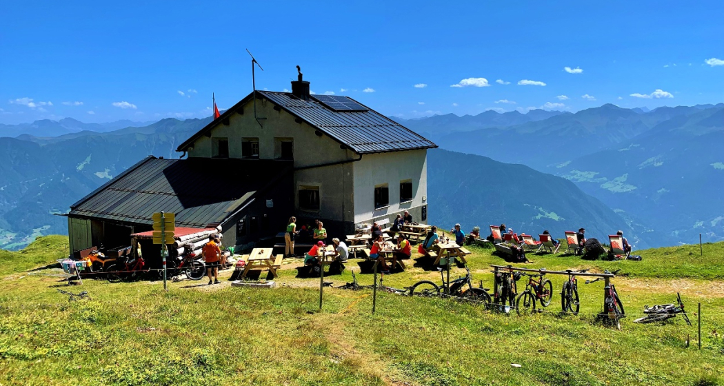
The Calanda SAC hut is popular by alpine romantics, with a unique view!

Description

The Calanda hut is situated high above Chur underneath the peak of the Calanda. It was built 1917 and renovated in 2005. Nowadays it is a comfortable mountain hut. Up to 29 people can sleep in the hut and enjoy a 4 course dinner, that is made freshly with local products every day. The 29 beds, allocated to two dormitories, come with duvets, a silk liner sleeping bag is recommended. 


Directly in front of the hut you can enjoy the spectacular panorama of the Grisons mountain world with hundreds of peaks. Specially at sunset it is an unforgettable sight to see. You can reach the hut on signposted hiking routes or by mountain bike. For example: 

Opening hours

  • Catered from June to October

  • The shelter for 6 persons is open from November until May

Contact

Responsible for this content Chur Tourism.

Museum Chur

Graubünden Natural History Museum

Bündner Naturmuseum
Bündner Naturmuseum

Show all 7 images

Aussenansicht Bündner Naturmuseum
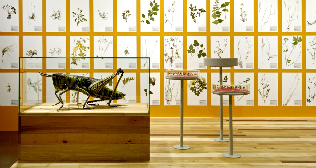
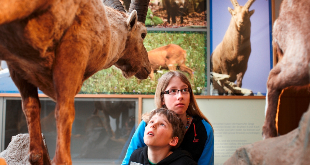
In the Graubünden Natural History Museum you will discover many interesting and exciting facts about the flora, fauna and geology of Canton Graubünden.

Description

The exhibitions at the Natural History Museum are dedicated to the rock formations, flora, and fauna of Graubünden Canton, with a focus on the biodiversity of the Alpine region. A rich programme of temporary exhibitions, events, and courses introduces visitors to fascinating natural phenomena. Collection work, research, and publications complete the museum services. Some of the most popular exhibits of the museum, like Switzerland's most notable gold discovery or the brown bear "JJ3" who roamed the Swiss mountains in 2007, are integrated into exhibitions on geology or mammal species in Graubünden. Temporary exhibitions complement the varied programme.

The museum takes great care to ensure that the complex ecological contexts are presented in a fashion that speaks to visitors of all ages. There is even a kids' play area for the smallest among them. 

Prices

Ingresses
Adults Fr. 6.-
Apprentices, students, AHV/IV Fr. 4.-
Children and young people (under 16 years) free of charge
School classes free of charge

Opening hours

  • Monday: closed
  • Tuesday - Sunday: 10am - 5pm

Contact

Graubünden Natural History Museum

Masanserstrasse 31, 7000 Chur

Responsible for this content Prättigau Marketing.

Outdooractive Logo

This website uses technology and content from the Outdooractive platform.

Schanfigger Dörferweg (Schanfigger village trail)

Geschlossen
Medium
63.1 km
21:50 h
3014 mhd
3419 mhd
Langwies GR
Litzirüti Wasserfall_Schanfigger Dörferweg

Show all 17 images

Dörferweg Schanfigg (oua_804445298_75e962b_profile)
On the hiking trail you have the opportunity to experience the Schanfigg valley in several days, along the traditional villages.
Technique 3/6
Fitness 4/6
Highest Point  1739 m
Lowest Point  588 m
Best Season
Jan
Feb
Mär
Apr
Mai
Jun
Jul
Aug
Sep
Okt
Nov
Dez
Start
Chur
Destination
Chur
Coordinates
46.784042, 9.679589

Details

Description

The Schanfigg village trail now connects the villages of Schanfigg from Chur to Arosa on both sides of the valley for hikers. Traditional and authentic village culture can be experienced on the 52 km long (mountain) hiking trail.

The Dörferweg leads through intact and varied landscapes with magnificent views, through meadows and forests, across Töbel and past Maiensässen and, last but not least, through the villages with their characteristic wooden knitted buildings, farm and village shops, restaurants and Besenbeizen. The alternation of natural and cultural landscapes can be experienced at every turn, as can be seen, for example, in the scenically magnificent sections at Gründji & Frauentobel.

The village trail enriches the range of hiking opportunities in Schanfigg. Thanks to the good public transport connections between the villages, a variety of circular hikes can be planned, e.g. in connection with the Schanfigger Höhenweg.

Translated with www.DeepL.com/Translator (free version)

Geheimtipp

Learn the insider tips from the locals at the village fountain or during a short chat in the village shop. Divide the hike into different stages.

Sicherheitshinweis

- Constantly monitor the weather development

- Make sure you have suitable and complete equipment

- Good shoes are necessary on the Langwies-Peist section, and you should also be sure-footed and free from vertigo!

- Inform third parties about your tour. Report back when you arrive at your destination

- Enjoy hiking with a smile on your face

Ausrüstung

Clothing suitable for the weather, walking sticks and good walking shoes. Enough to drink and a small pharmacy.

Directions

Chur-Praden-Tschiertschen-Molinis-Peist-Langwies-Litzirüti-Arosa

Arosa-Litzirüti-Langwies-Peist-St.Peter-Castiel-Calfreisen-Maladers-Chur

Directions

Public Transport

By train to the Alpine town of Chur.

Here more info about the timetable

Of course, the trail can be started at any point along the Dörferweg. You can divide the Dörferweg into different stages as you wish.

Arrival in Arosa.

Anreise Information

By car via the motorway or main road to the Graubünden capital Chur.

Of course, the trail can be started at any point along the Dörferweg. You can divide the Dörferweg into different stages as you wish.

Arrival in Arosa.

Parking

Various parking options in Chur.

Of course, the trail can be started anywhere along the Dörferweg.

Parking options in Arosa.

Responsible for this content Graubünden Ferien.

Benis Ground Round

Medium
5.1 km
0:55 h
209 mhd
209 mhd
Benis Boden Runde (oua_57507259_1aa175f_profile)
Benis Ground Round
Technique /6
Fitness 3/6
Highest Point  795 m
Lowest Point  586 m
Best Season
Jan
Feb
Mär
Apr
Mai
Jun
Jul
Aug
Sep
Okt
Nov
Dez
Start
Parking Stauwehr Domat/Ems
Destination
Parking Stauwehr Domat/Ems
Coordinates
46.835052, 9.433794

Details

Directions

Public Transport

By train or bus to the stop Ems Chemie/ Domat-Ems from there on foot to the parking lot Stauwehr (about 15 minutes).

Parking

Free parking is available at axpo's run-of-river hydropower plant (weir).

Responsible for this content Chur Tourism.
This content has been translated automatically.
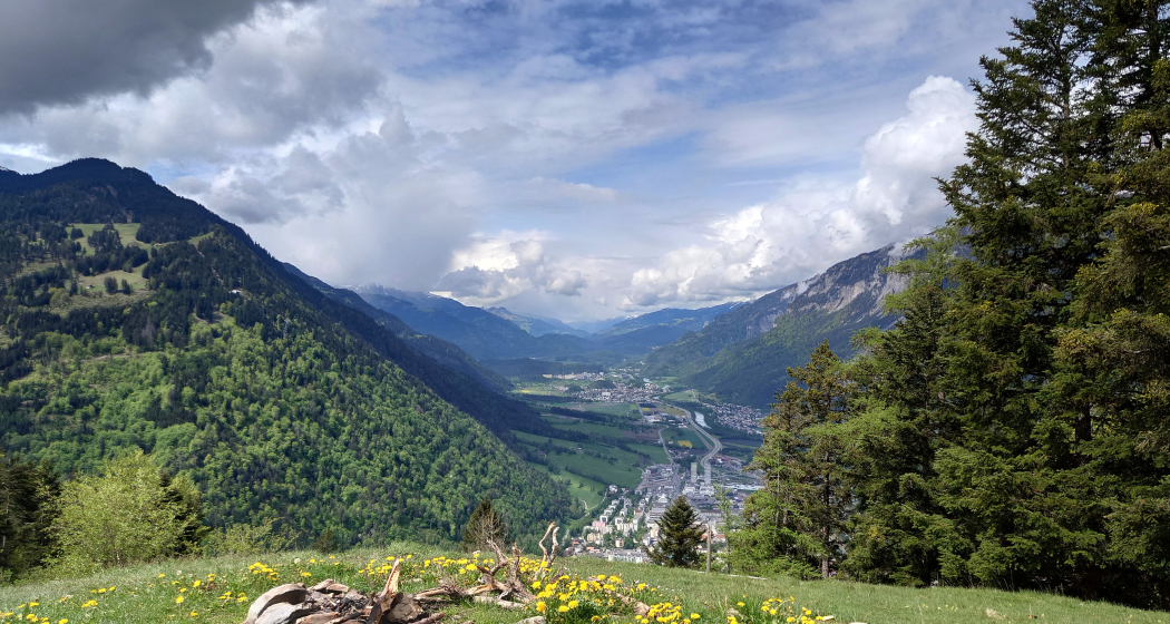
Cross country ski track Varsera

2 km
0:25 h
21 mhd
21 mhd
Langlaufloipe Varsera

Show all 4 images

Langlaufloipe Varsera
Cross country ski track Varsera
Technique 0/6
Fitness 0/6
Highest Point  607 m
Lowest Point  586 m
Best Season
Jan
Feb
Mär
Apr
Mai
Jun
Jul
Aug
Sep
Okt
Nov
Dez
Start
At the end of Via da Munt, Domat/Ems
Destination
At the end of Via da Munt, Domat/Ems
Coordinates
46.824393, 9.449326

Details

Description

If there is enough snow, a skating trail is groomed on the Domat/Ems golf course by the snow groomer, which maintains the Feldis-Domat/Ems toboggan run. The easiest way to get started is at the lumber yard at the end of Via da Munt.

Information on whether the trail is open and groomed can be found under www.snowsport-ems.ch

Responsible for this content Chur Tourism.
This content has been translated automatically.

Uphill Trail UFFA

Difficult
12.5 km
2:50 h
1295 mhd
254 mhd
Uphill Trail UFFA
Uphill Trail UFFA

Show all 12 images

Uphill Trail UFFA
With 12.5 km and 1'295 vertical meters, this route also offers serious mountain runners a real sporting challenge.
Technique 4/6
Fitness 5/6
Highest Point  1841 m
Lowest Point  589 m
Best Season
Jan
Feb
Mär
Apr
Mai
Jun
Jul
Aug
Sep
Okt
Nov
Dez
Start
Alexanderplatz, City of Chur
Destination
VIVA berg.baiz, Brambrüesch
Coordinates
46.852219, 9.531286

Details

Description

After starting on the Alexanderplatz in the heart of Chur, the Uphill Trail UFFA leads through the picturesque old town of the canton's main town, through the Obergasse and the Obertor up to the Rosenhügel. There, the track changes from asphalt to forest roads and varied (single) trails, which lead up to the first lookout point on Juchs. Over a steep and challenging climb, it goes up to the highest point at Spundisköpf lake, from there on a varied trail over the Spundisköpfe to the mountain station and the finish at the mountain restaurant.

Directions

Public Transport

Take the train to Chur station. From there, the city bus (line 1) takes 3 minutes to the valley station of the mountain railways (Stadthalle/Brambrüeschbahn stop).

Anreise Information

  • Motorway exit Chur Süd
  • Drive into the city (Kasernenstrasse)
  • The valley station and car park are on the right-hand side in front of the town centre

Parking

More about parking for guests of the Chur mountain railways.

Responsible for this content Brambrüesch.
This content has been translated automatically.