Fireplace Bonaduz
Barbecue area Bonaduz

Description
The fireplace lies near the playground in Bonaduz.
Contact
Barbecue area Bonaduz
7402 Bonaduz
Responsible for this content Chur Tourism.
Fireplace Bonaduz
The fireplace lies near the playground in Bonaduz.
Barbecue area Bonaduz
7402 Bonaduz
Responsible for this content Chur Tourism.
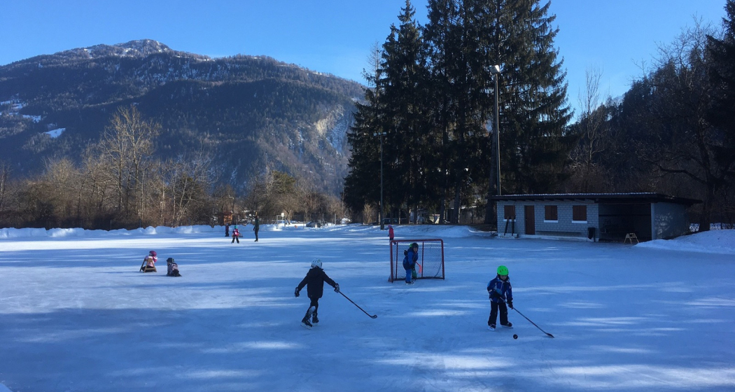
Ice Rink Bonaduz
Ice field Bonaduz
Via Lag, 7402 Bonaduz
Responsible for this content Chur Tourism.
Ruin Bonaduz
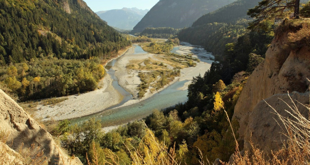
The sparse ruins of Wackenau castle lie about 3 kilometres north-west of the village on a promontory above the Rhine. The ruin lies within 20 minutes walking distance from a car park west of Bonaduz. Just above the caste hill you can get a great view of Ruinaulta canyon from the panorama platform named after the castle.
Castle ruin Wackenau
7402 Bonaduz
Responsible for this content Chur Tourism.
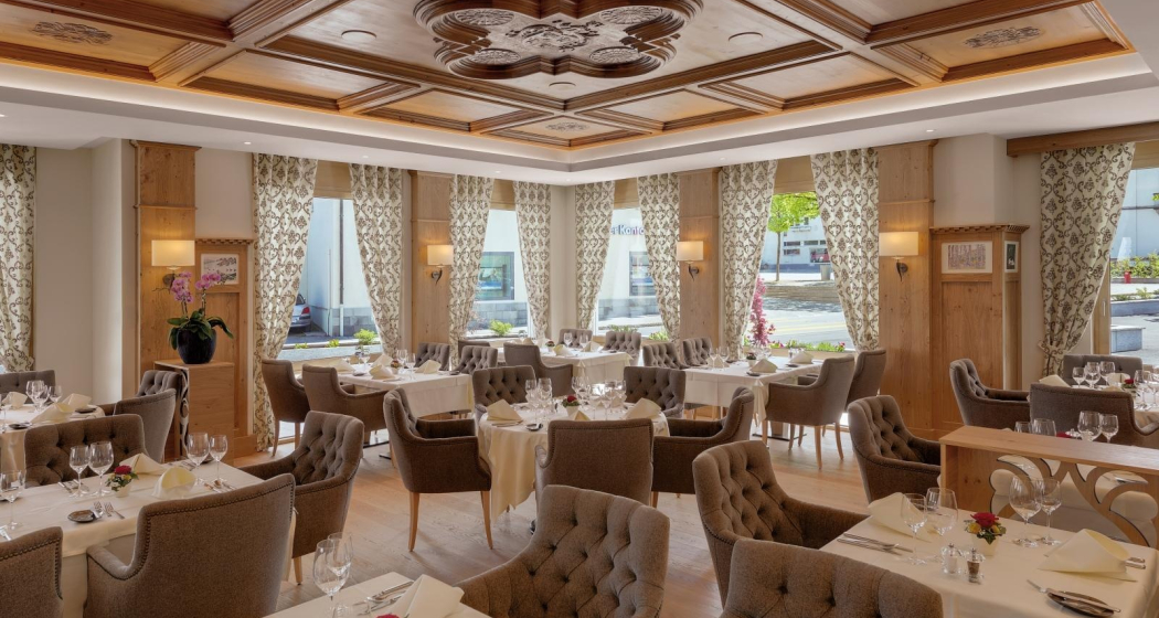
Restaurant Bonaduz
Whether in the elegant Hubertusstube, the cosy Poststube or the picturesque garden terrace, you can feel the cordiality of this traditional hotel.
Hotel Alte Post
Versamerstrasse 1, 7402 Bonaduz
Responsible for this content Chur Tourism.
Show all 8 images
Many castles and mansions can be found in the Domleschg. Some of them are still inhabited nowadays and used as cultural sites or for catering services (Schloss Tagstein & Schloss Schauenstein), while others are fallen into ruin.
This tour is mainly on asphalted and graveled roads. The first part of the tour takes you to the mountainside of Domleschg with the Bonaduzer and Rhäzünser Alp, the Heinzenberg and wonderful views into the Domleschg and Sa-fien valleys. On the second part you leasurely ride through the handsome villages and scenery of the Domleschg valley. The beautiful Canova lake is a good spot for taking a swim and relaxing at the lakeside. The last section then is on the historical Polenweg, a path above the Rhine river, that has been built by Polish internees during the second world war. At the junction of point 665 take a left and ride back to Reichenau-Tamins, the starting point of the tour.
Responsible for this content Chur Tourism.
Show all 6 images
A leisurely walk from Bonaduz, past the picturesque chapel of Sogn Mang and on a beautiful circular path with views of the Rhine Gorge and around the Bot Tschavier hill back to Bonaduz. A detour to the Wackenau ruin is possible.
Responsible for this content Chur Tourism.
Show all 4 images
From Bonaduz railway station, the route leads across wide fields and after a short descent directly to the bank of the Hinter Rhine. Now you can enjoy a wonderful walk along the banks of the Rhine with fascinating views of the Rhine floodplains, one of the last large natural river landscapes of the Rhine above Lake Constance. The trail leads towards Reichenau, where the Vorder Rhine joins the Hinter Rhine. The route finally leads back to the village of Bonaduz via a beautiful country lane.
Responsible for this content Chur Tourism.
Show all 5 images
The perfect after-work tour: This mostly flat round trip leads from Chur via the Chur Rhine Valley through the picturesque Domleschg. Most of the journey leads through gentle hilly landscapes, past wonderful orchards and imposing castles and palaces.
Responsible for this content Chur Tourism.
This content has been translated automatically.
If there is enough snow, the trail in Bonaduz is prepared for both the classic style and the skating technique. It is a circular route that leads mostly flat across meadows and along the edge of the forest to the neighbouring village of Rhäzüns and back.
Responsible for this content Chur Tourism.
This content has been translated automatically.
In the communes of Bonaduz, Domat / Ems, Felsberg, Rhäzüns and Tamins, rhiienergie created five interconnected Nordic Walking routes (also suitable for jogging / running). Each route runs for about 10 kilometers on existing paths and roads across meadows and through forests. A corresponding signage shows on the one hand the way direction and on the other the respective distance covered.
Responsible for this content Chur Tourism.
This content has been translated automatically.


