Name plural
Theme SUI
Original Name
Theme SUI
discover.swiss ID
sui_root

T 06 Via Francisca: Maienfeld - Chur

Medium
24.9 km
6:45 h
479 mhd
373 mhd
T 06 Via Francisca: Maienfeld - Chur
Pilgerweg in Graubünden: Via Francisca: Maienfeld - Chur

Show all 3 images

T 06 Via Francisca: Maienfeld - Chur (oua_24511570_6eddf74_profile)
The "Via Francisca" is also known as the "Road of the Emperors". It leads from Constance over the Lukmanier to Pavia, where it meets the Via Francigena.
Technique /6
Fitness 4/6
Highest Point  753 m
Lowest Point  514 m
Best Season
Jan
Feb
Mär
Apr
Mai
Jun
Jul
Aug
Sep
Okt
Nov
Dez
Start
Maienfeld, railway station
Destination
Chur, Cathedral of the Assumption of the Virgin Mary
Coordinates
47.006933, 9.531564

Details

Description

After leaving Maienfeld, we walk through the vineyards of Jenins and Malans. After the village of Malans, we leave the "Graubünden dominion", as this wine-growing region is called.
Afterwards we cross the Landquart, which has left the Prättigau shortly before through a very narrow rock cut. In the upper part of this valley are the well-known ski resorts of Klosters and Davos.
We stay on the eastern side of the Rhine in the relatively wide valley to Trimmis, passing through other, smaller vine-growing areas. The Rhine Valley is now gradually changing direction to the west.
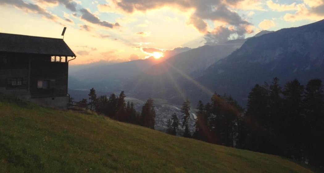
Leaving Trimmis, we then go up again to the valley flank, which brings us shade in the forest and also gives us the opportunity to look at the Rhine Valley from the heights. In doing so, we also bypass the extensive outskirts of Chur, which lie at the bottom of the valley. This takes us through a lot of nature directly to the cathedral of Chur, the capital of the canton of  Graubünden. 

Geheimtipp

The stages in this documentation are suggestions that each pilgrim can adapt to his wishes. however, the technical data always concern the assumption that these stages are completed in one day.

Sicherheitshinweis

.

Ausrüstung

Normal hiking/trekking equipment: backpack with rain cover, well-worn footwear, durable clothing appropriate to the season, rain and sun protection, hiking stick or trekking poles, pilgrim's passport.

Directions

Maienfeld - Eichholz - Erlenböden - Buochwald - Malans - River Landquart - Marschlins Castle - Igis - Zizers - Molinära - Trimmis - Bach Maschänser Rüfi - Fürstenwald - Waldhaus - Eulengut - Chur Cathedral

Directions

Public Transport

SBB

Anreise Information

A13 / E43

Responsible for this content Graubünden Ferien.
This content has been translated automatically.

Kunkelspass in the World Heritage Site Sardona

Medium
14.6 km
4:15 h
423 mhd
763 mhd
Bergrestaurant Überuf auf dem Kunkelspass
UNESCO-Infotafeln auf dem Kunkelspass

Show all 4 images

Felstunnel auf dem Abstieg vom Kunkelspass
The Kunkelspass is more than just a crossing, it is a popular destination as well. Walkers and leisure hikers will find the mountain restaurants Eggwald in Oberkunkels and Überuf on the pass summit. From here, hikers approach the UNESCO World Heritage Tectonic Arena Sardona to the SAC-Ringelspitzhütte.
Technique 3/6
Fitness 4/6
Highest Point  1358 m
Lowest Point  595 m
Best Season
Jan
Feb
Mär
Apr
Mai
Jun
Jul
Aug
Sep
Okt
Nov
Dez
Start
Vättis/SG
Destination
Reichenau/Tamins train station
Coordinates
46.909101, 9.440192

Details

Description

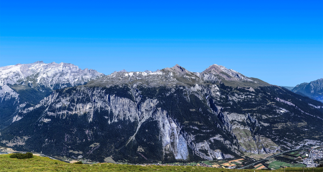
The Kunkelspass (1357 m a.s.l.) connects Vättis with Tamins. The lovely plateau presents itself like an arena, surrounded by the mountains of the Calanda (2805 m above sea level), the Crap Mats (2947 m above sea level) and the Ringelspitz (3247 m above sea level), the highest mountain in St.Gallen, located in the Tectonic Arena Sardona.

From Vättis (943 m a.s.l.) an easy hike leads to the Kunkel Pass. Along the bubbling Görbsbach, the path leads gently uphill through meadows and forest sections to Unter Kunkels (1073 m above sea level). What a feast for the eyes, especially in early summer, when the alpine flora comes to life! Above the left side of the valley are the Haldensteiner and the Felsberger Calanda with their rugged limestone formations. When the path becomes a little steeper, you approach the Eggwald mountain restaurant in Ober Kunkels (1148 m a.s.l.). In the case of pleasure hikers, the 'autopilot' takes over in view of the neat restaurant, and you steer straight into the garden restaurant. But it is also not far to the Kunkelspasshöhe (1357 m.a.s.l.).

Kunkelspass as a goal or intermediate destination

In the mountain inn Überuf you can linger with pleasure on the garden terrace or in the wood-fired warmed dining room. Next door is a seminar room with information about the UNESCO World Heritage Site Tectonic Arena Sardona. They are proud to be able to offer the eastern entrance to the geological wonderland with Kunkels. A telescope offers the opportunity to take a close look at the Ringelspitz and the Glarus main thrust or the demolition niche of the Tamins landslide. Sometimes on the seabed, sometimes under 800 metres of glacial ice - the history of the earth also offers a lot of variety for Kunkels.

The shortest route into the valley is via a small road built during the First World War to Tamins (660 m above sea level). The view from the tunnel blasted into the rock is spectacular. If you want to continue uphill, climb via Grossalp to the SAC-Ringelspitzhütte (1998 m.a.s.l.). The hospitable hut can be enjoyed as a panoramic east-facing balcony of the Tectonic Arena Sardona.

Geheimtipp

Visit the earthquake exhibition in Vättis and learn, among other things, how earthquakes are related to the formation of mountains.

Sicherheitshinweis

Take appropriate equipment with you to the tour and stay on the marked trails.

Ausrüstung

Normal hiking equipment. Depending on the weather, good footwear (hiking boots) is recommended, otherwise light trekking shoes are sufficient for the tour.

Directions

Vättis – Unter Kunkels – Ober Kunkels – Kunkelspass - Reichenau

Directions

Public Transport

Postbus from Bad Ragaz station to Vättis, at x.35 a.m., return journey: with the RhB from Reichenau/Tamins station

Responsible for this content Graubünden Ferien.
This content has been translated automatically.

Stams

Difficult
42.2 km
5:40 h
1349 mhd
1349 mhd
Valzeina
Stams

Show all 8 images

Picknickwiese hinter Stams
Beautiful mountain bike tour through a breathtaking landscape.
Technique 4/6
Fitness 5/6
Highest Point  1693 m
Lowest Point  518 m
Best Season
Jan
Feb
Mär
Apr
Mai
Jun
Jul
Aug
Sep
Okt
Nov
Dez
Start
Landquart, train station
Destination
Landquart, train station
Coordinates
46.967639, 9.554892

Details

Description

Varied bike tour with a beautiful descent through the magnificent and wild Valzeina Valley. The variant is particularly recommended here, because it offers further scenic as well as sporting highlights.


Sicherheitshinweis

Shooting range at Igis, evt. Bypass Marschlins Castle.

Ausrüstung

Normal bike equipment. Functional clothing is an advantage, as ascents and descents alternate

Directions

Landquart - Zizers - Trimmis - Says - Stams - Valzeina Valley - Landquart

Directions

Public Transport

By train to Landquart. The round trip starts from Landquart train station.

Anreise Information

Motorway exit Landquart, then follow the signalling on the main road towards Landquart station.

Parking

Public parking available at Landquart train station (chargeable)

Responsible for this content Graubünden Ferien.
This content has been translated automatically.
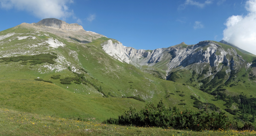
Mittagsplatte

Medium
30.2 km
3:55 h
943 mhd
941 mhd
Ziel der Tour: Mittagsplatte
Traverse auf dem Waldweg Richtung Unter Valzeina

Show all 7 images

Beschauliches Bergdorf Valzeina
Beautiful round tour leading to the striking viewpoint on the Mittagsplatte.
Technique 4/6
Fitness 4/6
Highest Point  1358 m
Lowest Point  516 m
Best Season
Jan
Feb
Mär
Apr
Mai
Jun
Jul
Aug
Sep
Okt
Nov
Dez
Start
Landquart, train station
Destination
Landquart, train station
Coordinates
46.967318, 9.554281

Details

Description

The ascent takes place on a mountain road with little traffic and later traverses on a forest path to Unter Valzeina. A short ascent on a mountain road and you reach the Mittagsplatte, which lies like an eagle's nest above the Graubünden Rhine Valley and offers a magnificent view. For the descent, first drive back a short distance before a relatively steep trail branches off to the left. This is especially challenging in the upper section and can only be ridden by technically experienced bikers (after 5 - 10 minutes of pushing, however, the trail becomes flatter and easier). Later it joins a forest road, which you follow to the village of Zizers. The return journey to Landquart takes place on the Rhine dam; the section between Zizers and Landquart runs on a good rideable trail.


Geheimtipp

Enjoy the breathtaking view on the lunch plate and take a short break.

Sicherheitshinweis

The beginning of the trail descent is only drivable for technically experienced bikers (please avoid driving with blocked brakes to prevent erosion). After 5 - 10 minutes of pushing, however, the trail becomes flatter and easier before it joins the forest road further down.

Ausrüstung

Normal hiking equipment, sturdy mountain boots.

Directions

Landquart - Malans - Ganda - Campingplatz Grüsch - Stein - Unter Valzeina - Valzeina - Mittagsplatte - Schlund - Zizers - Rheindamm - Landquart

Directions

Public Transport

By train to Landquart and from there the tour starts.

Anreise Information

Motorway exit Landquart, then on the main road in the direction of Landquart station.

Parking

Public parking available at Landquart train station (chargeable)

Responsible for this content Graubünden Ferien.
This content has been translated automatically.

Salaz - Zweierspitz - Maton

Difficult
13.9 km
4:45 h
785 mhd
786 mhd
Blick auf die Churfirsten
Hochplateau St.Margrethenberg

Show all 6 images

Blick auf die Berglandschaft
The whole Tamina valley in our sights.
Technique 2/6
Fitness 5/6
Highest Point  1857 m
Lowest Point  1188 m
Best Season
Jan
Feb
Mär
Apr
Mai
Jun
Jul
Aug
Sep
Okt
Nov
Dez
Start
St. Margrethenberg, Tristeli
Destination
St. Margrethenberg, Tristeli
Coordinates
46.981521, 9.506678

Details

Description

The varied day hike leads via St. Margrethenberg through the Chimmi forest to Marola and then up to the Zweierspitz. Once at the top, you will be rewarded with magnificent views of the Tamina Valley, from the Kunkels to the Tamina Bridge. On Salaz you will not only find a modern alpine hut, but also a magnificent alpine flora.

Geheimtipp

Keep your eyes open, with a little luck you can watch the game well.

Ausrüstung

Normal hiking equipment, sturdy mountain boots.

Directions

Public Transport

By train to Bad Ragaz, then by bus to the Post Pfäfers stop. Then change the bus to St. Margrethenberg.

Anreise Information

Motorway exit Bad Ragaz, then take the main road towards Pfäfers and then follow the signs for St. Margrethenberg Tristeli.

Parking

Public parking available at the station Tristeli am St. Margrethenberg (chargeable)

Responsible for this content Graubünden Ferien.
This content has been translated automatically.

Vättis - Salaz - St.Margrethenberg

Medium
16.1 km
5:35 h
1028 mhd
782 mhd
Vättis
St. Margrethenberg

Show all 5 images

Schlussstück auf dem St.Margrethenberg
Enjoy the view from high above.
Technique 3/6
Fitness 4/6
Highest Point  1877 m
Lowest Point  926 m
Best Season
Jan
Feb
Mär
Apr
Mai
Jun
Jul
Aug
Sep
Okt
Nov
Dez
Start
Vättis
Destination
Tristeli
Coordinates
46.909327, 9.440279

Details

Description

At the Cholhüttenau sports field, the path initially leads through dense beech forest via the Schröter huts to the hunting lodge on Guaggis. Over partly open alpine meadows and sparse fir forest, we reach Alp Salaz on a slight incline. Alp Salaz is a fertile high terrace above the deeply incised Tamina Valley. There is an almost vertigo-inducing view down to the village of Vättis. Less frightening is the view to the south into the Rhine Valley and Prättigau. On the steep mountain flanks of the Calanda massif, Switzerland's first wolf pack has been at home again since the extinction of the wolf in the 19th century.

Geheimtipp

For guests who have enjoyed the view of the Rhine Valley, we recommend that you also take the circular hike to the Pizalun.

Sicherheitshinweis

Depending on the weather, individual sections can be slippery.

Ausrüstung

Normal hiking equipment, sturdy mountain boots.

Directions

Vättis – Breitägerten – Schröterhütten – Guaggis – Salaz – Marola –Fürggli – Tristeli

Directions

Public Transport

By train to Bad Ragaz, then by Postbus to Vättis.

Anreise Information

Motorway exit Bad Ragaz. Then turn into Bergstrasse to Pfäfers/Valens and drive either via Pfäfers or via Taminabrücke and Valens to Vättis.

Parking

Parking spaces are available opposite the petrol station in the village centre (Calfeisenstrasse) or at the bus stop Vättis, Dorf.

Responsible for this content Graubünden Ferien.
This content has been translated automatically.
Stage 6 Gravel Bike Route Hinterrhein: Splügen – Chur

Geschlossen
Medium
58.4 km
4:25 h
547 mhd
1445 mhd
Viamalaschlucht
Rofflaschlucht

Show all 4 images

Capuns
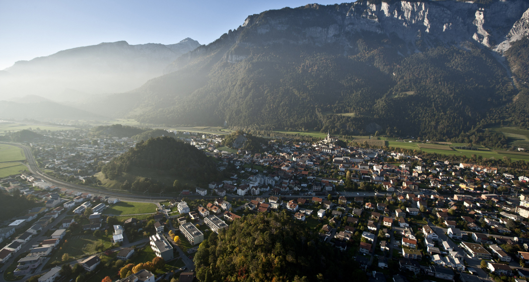
Deep ravines, impressive panoramic views and witnesses to the history of Graubünden’s transport routes await discovery at the Posterior Rhine.
Technique 3/6
Fitness 3/6
Highest Point  1653 m
Lowest Point  559 m
Best Season
Jan
Feb
Mär
Apr
Mai
Jun
Jul
Aug
Sep
Okt
Nov
Dez
Start
Splügen
Destination
Chur
Coordinates
46.551852, 9.322787

Details

Description

You’ll leave Splügen (1458 m above sea level) on cycle route no. 505 "Rheinwaldroute" down the valley. At first, the road heads a few meters in the direction of Splügen Pass.

In the first bend, you’ll turn left and reach a short but steep climb through the Fugscht forest (1589 m above sea level). A rapid descent brings you to the Sufnersee, whose water shines turquoise. On the Northern shore of the lake, you’ll take the little-traveled road in the direction of Roflaschlucht (gorge). Even from the road, you’re guaranteed great views of the wild canyon. Through Bärenburg (1040 m above sea level), you’ll take a side road to Pignia. From here, a nature trail leads to Zillis (945 m above sea level). An insider's tip is Capun's, a local specialty - prepared by the Swiss Capuns champion at the hotel Post. Strengthened from the food the route leads you over Reischen (1024 meters) through the Viamala gorge to Thusis (680 m above sea level). Cycle route no. 6 takes you along the Posterior Rhine through the Domleschg. In Reichenau, where the Anterior Rhine merges the Rhine Anterior, change onto the Rheinrad route no. 2 and a comfortable ride back to Chur (593 m above sea level).

Stages

Overall route: Chur  – Chur

Stage 1: Chur – Thusis

Stage 2: Thusis – Glaspass – Thusis

Stage 3: Thusis – Andeer

Stage 4 Andeer – Lai da Vons – Splügen

Stage 5. Splügen – Splügen

Stage 6. Splügen – Chur

Responsible for this content Graubünden Ferien.
This content has been translated automatically.
Pfäfers, Rhine valley at its best

Difficult
32 km
4:15 h
983 mhd
970 mhd
Kloster Pfäfers
Der höchste Rebberg der Ostschweiz - Rebberg Portaser bei Pfäfers

Show all 5 images

Entspannen in der Tamina Therme in Bad Ragaz.
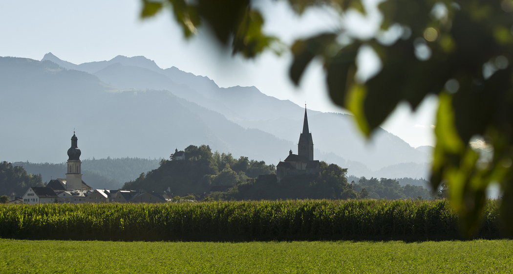
This route offers everything. Flat, steep, panoramic, wooded, hectic or secluded stretches around the Pizalun alternate.
Technique 4/6
Fitness 5/6
Highest Point  1413 m
Lowest Point  502 m
Best Season
Jan
Feb
Mär
Apr
Mai
Jun
Jul
Aug
Sep
Okt
Nov
Dez
Start
Bad Ragaz, train station
Destination
Bad Ragaz, train station
Coordinates
47.010221, 9.505203

Details

Description

Note(s)
Old Bad Pfäfers and Tamina Gorge
Walk along the paths of the beneficial thermal waters. The Tamina Gorge is a real natural phenomenon in itself and gives us an impressive idea of the immense power of water. In the middle of it all, the oldest baroque spa building in Switzerland, the Old Bad Pfäfers with its spa museum, Paracelsus memorial and restaurant, is a reminder of the Wilhelminian era. Restaurant Bad Pfäfers, Tel. +41 (0)81 302 71 61
Accessible on foot or with the gorge bus from the train station or entrance Postplatz Bad Ragaz . General driving ban, also for bicycles.

Tamina-Therme - relax in the hot springs
Enjoy the relaxing bathing fun in the public indoor and outdoor thermal baths with a wonderful whirlpool, lazy river, waterfall, bubble loungers, bubble seats, bubble grotto and various massage jets. Tamina-Therme, Bad Ragaz, Tel. +41 (0)81 303 27 40.


Directions

Bad Ragaz - Pfäfers - St. Margrethenberg - Tanzboden - Untervaz - Mastrils - Bad Ragaz

Directions

Public Transport

By train to Bad Ragaz.

Anreise Information

Motorway exit Bad Ragaz, then on the main road to the village center. In the village, the way to the train station is signposted.

Parking

Public parking available at Bad Ragaz train station (charges apply).

Responsible for this content Graubünden Ferien.
This content has been translated automatically.
Wine Hiking Trail in Graubünden's Rhine Valley

Medium
27.1 km
7:00 h
423 mhd
479 mhd
Blick auf die Weinbauregion Bündner Herrschaft
Rebberge Bündner Herrschaft

Show all 6 images

Blick von oben auf die Weinregion
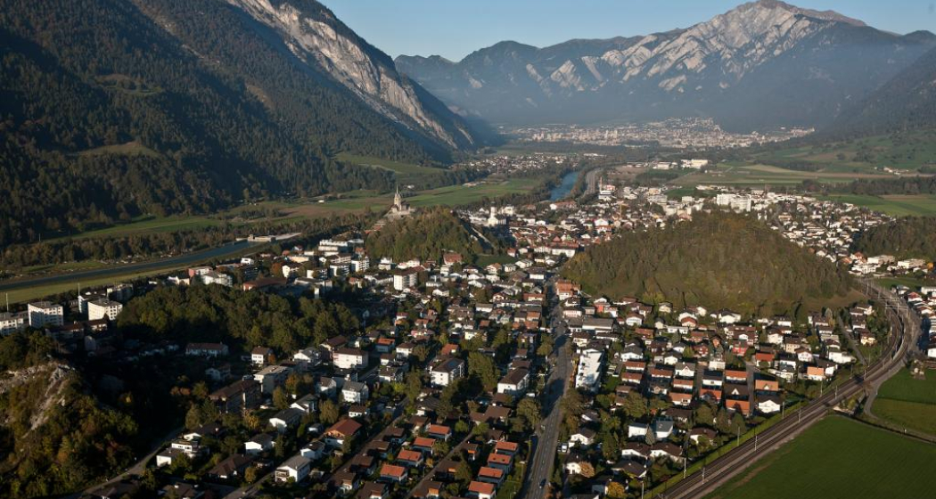
The wine hiking trail Bündner Rheintal connects the city of Chur with the wine villages in the Bündner Rheintal and Bündner Herrschaft.
Technique 1/6
Fitness 3/6
Highest Point  740 m
Lowest Point  525 m
Best Season
Jan
Feb
Mär
Apr
Mai
Jun
Jul
Aug
Sep
Okt
Nov
Dez
Start
Chur, Fläsch or along the route
Destination
Chur, Fläsch or along the route
Coordinates
46.853432, 9.529714

Details

Description

The scenic Rhine Valley near Chur, as well as Graubünden's north, known as Bündner Herrschaft, are regions that are predestined for wonderful walks and beautiful hiking tours. The wine villages and hiking trails are aligned like pearls along the Rhine River. Hike on a breezy autumn day when the "Föhn" blows across the Alps, when the wine harvest is drawing close and when one of the wine villages is preparing for a colorful fall festival - these are truly unforgettable experiences!

There are 3 circular tours through the vineyards along the way, Trimmis/Zizers (appr. 4 km), Malans/Jenins (appr. 10 km), Maienfeld/Fläsch (appr. 10 km). Together with the main trail from Chur to Fläsch (30 km), there are more than 40 km of signposted hiking tours available. A special map of the wine hiking trail is available at the tourist information at the railway station in Chur, as well as along the the way in the wine villages.

Due to its sunny location in the valley, the wine hiking trails are a good option almost all year round.

Responsible for this content Graubünden Ferien.