Mittenberg circuit

Medium
9.1 km
1:35 h
513 mhd
513 mhd
Mittenberg
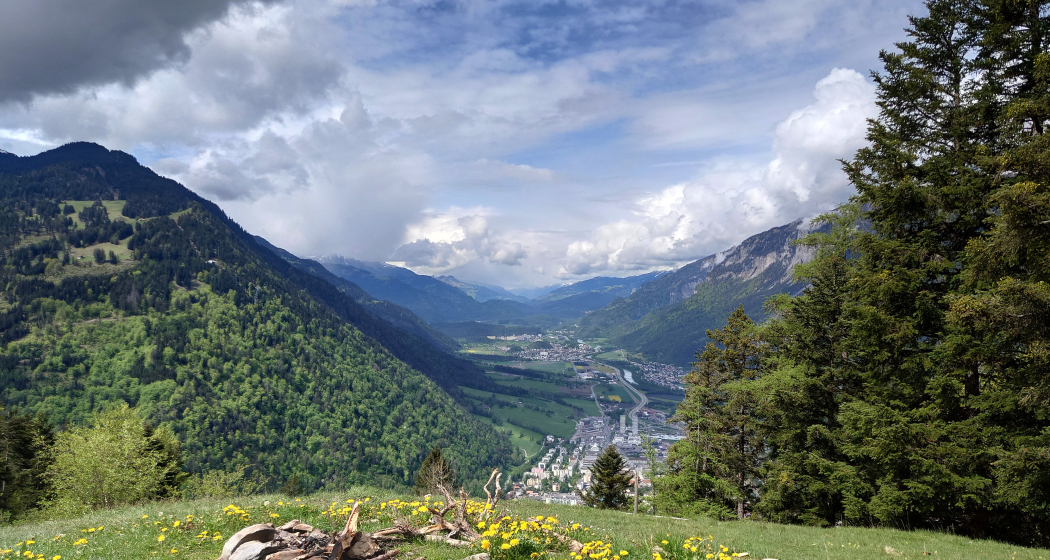
Aussicht auf die Stadt Chur

Show all 5 images

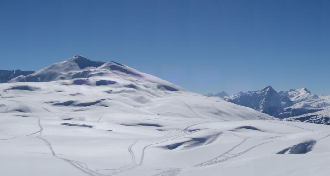
Aussicht in Richtung Passugg und die Bergwelt in Richtung Lenzerheide
This trail run starts in the middle of the city and first leads in the direction of Maladers. From there it continues up to Chur's Mittenberg. This is where the zigzag downhill starts back to Chur.
Technique 4/6
Fitness 3/6
Highest Point  1106 m
Lowest Point  593 m
Best Season
Jan
Feb
Mär
Apr
Mai
Jun
Jul
Aug
Sep
Okt
Nov
Dez
Start
Steinbruchstrasse in Chur
Destination
Steinbruchstrasse in Chur
Coordinates
46.851768, 9.535036

Details

Description

The tour starts in the old town of Chur and then leads over varied trails in the direction of Maladers. Shortly before entering the village, turn left and follow a hilly Panorama Trail, which offers a unique view of the city of Chur and the surrounding mountains. After a short final ascent to the Mittenberg, the breathtaking view can be enjoyed before the attractive downhill towards the starting point follows. The Mittenberg Circuit offers quick access to nature from the urban area and is a unique experience for beginners as well as advanced hikers.

Sicherheitshinweis

Running shoes with a good profile

Ausrüstung

Running shoes with a good profile

Responsible for this content Chur Tourism.
This content has been translated automatically.
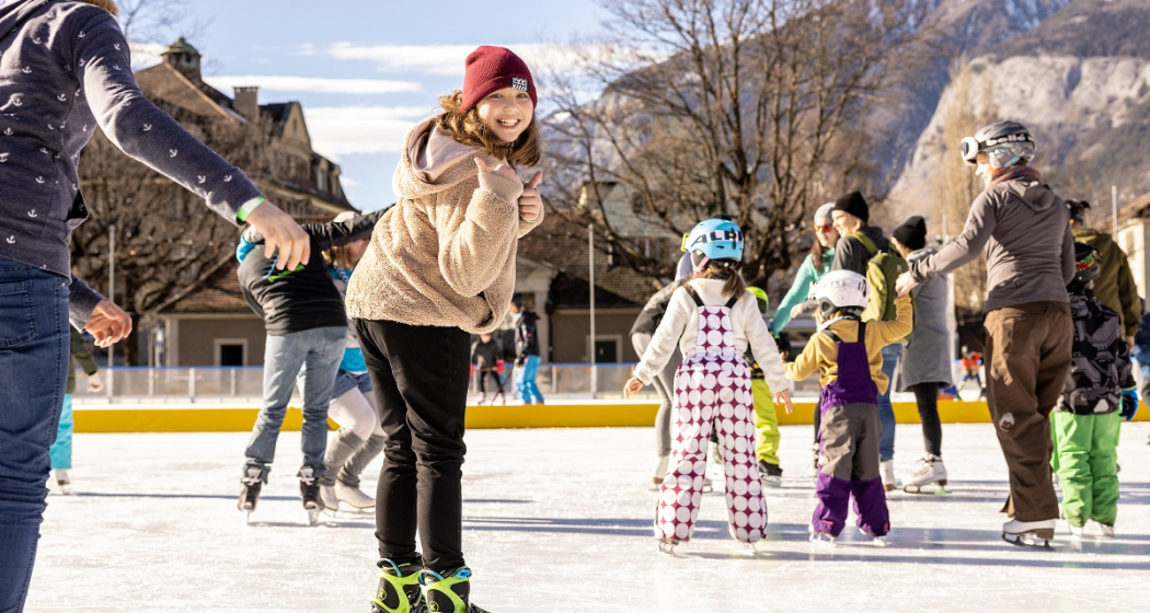
Ice Rink Chur

Quader outdoor ice rink

Eisfeld Quader
Eisfeld Quader

Show all 10 images

Eisfeld Quader
The romantic ice rink in the city center.

Description

The season on the Quader ice rink is over - we look forward to welcoming you again from 15 November 2025.

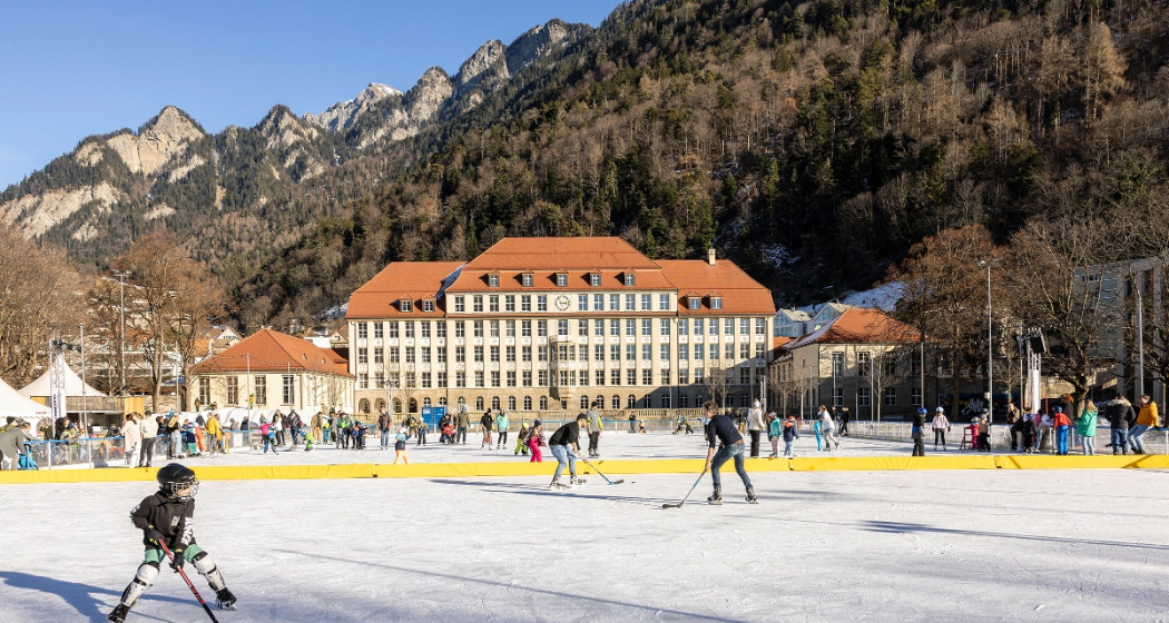
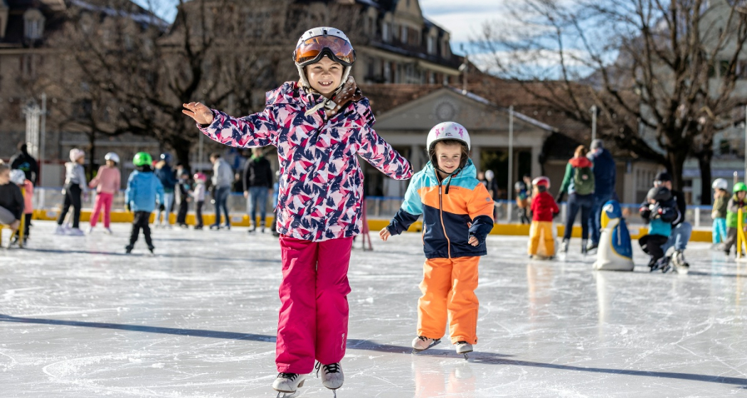
The Quader outdoor ice rink, with its romantic lighting and atmospheric music, is the winter meeting place in the heart of the city, just a two-minute walk from Chur railway station. Allow yourself to be enchanted by the fairy-tale ambience on the ice rink in front of the imposing Quader school building. A separate section is reserved for hockey enthusiasts, while the remaining area is open to people of all ages wishing to practise their ice-skating skills.

Khurer Gnusswaga
The "Khurer Gnusswaga" - Chur food stall - stands next to the Quader outdoor ice rink. The food stall offers homemade dishes for every appetite. A small heated tent next to the ice rink provides cosy warmth where you can enjoy your drink or meal. More information about the Khurer Gnusswaga 

Skating for wheelchair users
The Cerebral foundation has provided the city of Chur with a so-called "ice glider", a platform with its own blades that allows wheelchair users to access the ice. The gliders are designed to adapt to most common wheelchair models. The glider can be used free of charge. See flyer for images.

Prices

Please find ice sports prices here.

Ticket Shop
Buy your tickets online at the ticket shop www.sportanlagenchur.ch/ticketshop

  • buy your ticket online with or without ChurCard, adult or child
  • pay by credit/debit card or Twint
  • receive your ticket with QR code by e-mail
  • validate your QR code at the entry to the ice rink
  • let the ice fun begin!

The tickets are valid on the date of purchase. Purchased tickets cannot be cancelled.

Children unter 6 years are free when accompanied by a paying adult.

Equipment rental

  • Ice skates CHF 6.-
  • Beginners ice skates (2 blades) CHF 3.-
  • Sharpen ice skates CHF 14.- (within 1 to 3 days)
  • Skating aids per hour CHF 4.- 
  • Ice hockey stick CHF 3.-
  • Ice hockey helmet CHF 4.-
  • Soft puck CHF 4.- (sale only)

An ID-card has to be deposited for all rental items.

Please kindly place your group reservation via this format least 48 hrs in advance (reservations for Monday have to be done by Friday 12pm), thank you. You'll find the booking plan with the time slots already booked by groups here: Booking plan.

Opening hours

16.11.2024-02.03.2025* | Season start winter 2025/2026: 15.11.2025

  • Monday-Friday 11am-9pm
  • Saturday 10am-9pm
  • Sunday 10am-8pm, except 2. March 2025 open until 6pm
  • School classes possible from 10am on Tuesdays and Thursdays. Mandatory registration at least 48 hrs in advance (reservations for Monday have to be done by Friday 12pm). Please use this form. You'll find the booking plan with the time slots already booked by groups here: Booking plan.

*Season depending on weather

The Quader outdoor ice rink is generally always open, except in heavy rain or with lots of fresh snowfall. If the weather is uncertain, we will be happy to inform you on: +41 81 254 42 99

Holidays

  • Christmas Eve, 10am-4pm
  • Christmas Day closed
  • Boxing Day, 10am-8pm
  • New Years Eve, 10am-4pm
  • New Year, 10am-4pm
  • 2nd January, 10am-8pm

Special opening hours

  • Christmas holidays 23.12.2024-03.01.2025 opening at 10am on weekdays (food truck open daily from 11am)
  • Sports holidays 24.-28.02.2025 opening at 10am on weekdays (food truck opening daily from 11am)

Directions

Directions

Contact

Responsible for this content Chur Sports and Event Facilities.

Farm Accommodation Chur

Gutsbetrieb Plankis

Gutsbetrieb Plankis
Gutsbetrieb Plankis

Show all 5 images

Gutsbetrieb Plankis

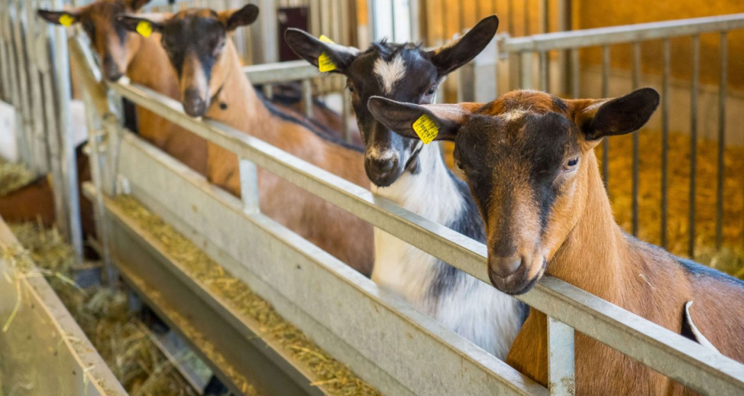
Farm in Chur with animals, arable and vegetable cultivation.

Description

Hanueli Salis

The Plankis farm has dairy cows, calves, cattle, laying hens, goats and horses. They also cultivate grasslands and artificial meadows and grow potatoes and vegetables. The farm covers 25 hectares and produces for the IP-Suisse label. 

Find a farm: School on the farm

The Plankis farm is easily accessible by city bus Chur, line 1.   

Directions

Public Transport

Bus stop Plankis, Stadbus Chur, line 1

Contact

Responsible for this content Graubünden Ferien.
This content has been translated automatically.
Outdooractive Logo

This website uses technology and content from the Outdooractive platform.

Benis Ground Round

Medium
5.1 km
0:55 h
209 mhd
209 mhd
Benis Boden Runde (oua_57507259_1aa175f_profile)
Benis Ground Round
Technique /6
Fitness 3/6
Highest Point  795 m
Lowest Point  586 m
Best Season
Jan
Feb
Mär
Apr
Mai
Jun
Jul
Aug
Sep
Okt
Nov
Dez
Start
Parking Stauwehr Domat/Ems
Destination
Parking Stauwehr Domat/Ems
Coordinates
46.835052, 9.433794

Details

Directions

Public Transport

By train or bus to the stop Ems Chemie/ Domat-Ems from there on foot to the parking lot Stauwehr (about 15 minutes).

Parking

Free parking is available at axpo's run-of-river hydropower plant (weir).

Responsible for this content Chur Tourism.
This content has been translated automatically.
Cross country ski track Varsera

2 km
0:25 h
21 mhd
21 mhd
Langlaufloipe Varsera

Show all 4 images

Langlaufloipe Varsera
Cross country ski track Varsera
Technique 0/6
Fitness 0/6
Highest Point  607 m
Lowest Point  586 m
Best Season
Jan
Feb
Mär
Apr
Mai
Jun
Jul
Aug
Sep
Okt
Nov
Dez
Start
At the end of Via da Munt, Domat/Ems
Destination
At the end of Via da Munt, Domat/Ems
Coordinates
46.824393, 9.449326

Details

Description

If there is enough snow, a skating trail is groomed on the Domat/Ems golf course by the snow groomer, which maintains the Feldis-Domat/Ems toboggan run. The easiest way to get started is at the lumber yard at the end of Via da Munt.

Information on whether the trail is open and groomed can be found under www.snowsport-ems.ch

Responsible for this content Chur Tourism.
This content has been translated automatically.
Dreibündenstein - Fulhorn

Medium
7.7 km
3:00 h
1013 mhd
81 mhd
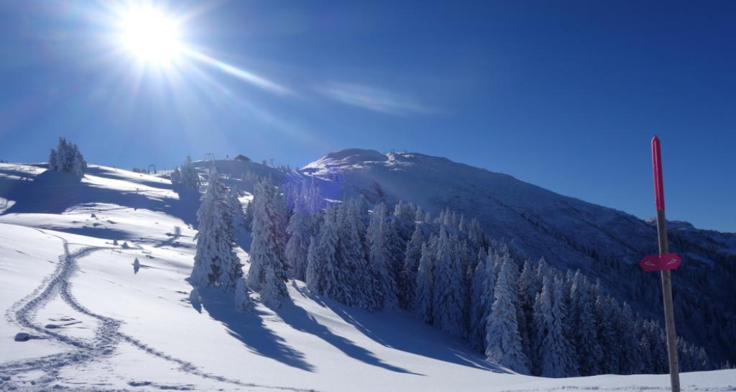
Dreibündenstein Hochebene mit Fulhorn
Schluss-Aufstieg zum Fulhorn

Show all 9 images

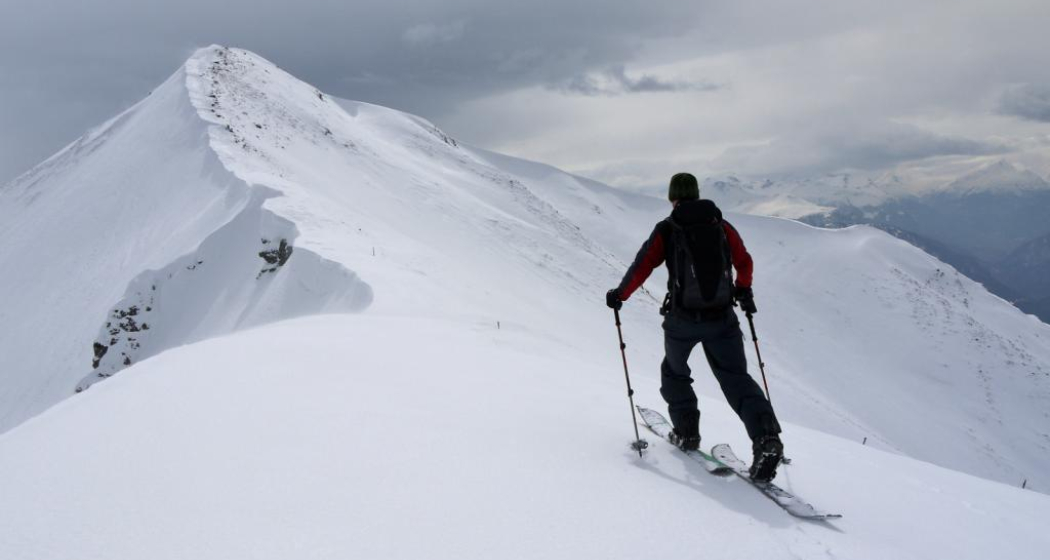
Blick von Spundis Richtung Dreibündenstein
Nice tour from Brambrüesch to the Dreibündenstein high plateau and further up to the peak of the Fulhorn with panoramic views.
Technique 3/6
Fitness 3/6
Highest Point  2529 m
Lowest Point  1593 m
Best Season
Jan
Feb
Mär
Apr
Mai
Jun
Jul
Aug
Sep
Okt
Nov
Dez
Start
Brambrüesch
Destination
Brambrüesch
Coordinates
46.829112, 9.516041

Details

Description

Rewarding ski tour, beginning at the top gondola station in Brambrüesch. Ascent through the forest at first, later on close to the ski slopes up to Furggabüel and the Dreibündenstein high plateau, which is being crossed on the tour (possible to ski down without skins). At appr. 2100m the ascent to the Fulhorn begins. Take care along the ascent since there are steep parts and snow drifts.

Descents are possible to Alp dil Plaun, the ski hut Term Bel and (if enough snow) as far as Domat/Ems in the valley (otherwise at Alp dil Plaun left/southwards to Scheid). The descent through the steep north side in direction of Pradaschier / Churwalden is only for experienced ski tourers and with safe snow conditions. If you would like to descent to Churwalden, you can alternatively use the slopes in the ski area, as well. All ascents and descents are at your own risk.

Directions

Public Transport

Take the train to Chur station. From there, the city bus (line 1) takes 3 minutes to the valley station of the mountain railways (Stadthalle/Brambrüeschbahn stop).

Anreise Information

  • Motorway exit Chur Süd

  • Drive into the city (Kasernenstrasse)

  • The valley station and car park are on the right-hand side in front of the town centre

Parking

More about parking for guests of the Chur mountain railways.

Responsible for this content Brambrüesch.
This content has been translated automatically.

Uphill Trail UFFA

Difficult
12.5 km
2:50 h
1295 mhd
254 mhd
Uphill Trail UFFA
Uphill Trail UFFA

Show all 12 images

Uphill Trail UFFA
With 12.5 km and 1'295 vertical meters, this route also offers serious mountain runners a real sporting challenge.
Technique 4/6
Fitness 5/6
Highest Point  1841 m
Lowest Point  589 m
Best Season
Jan
Feb
Mär
Apr
Mai
Jun
Jul
Aug
Sep
Okt
Nov
Dez
Start
Alexanderplatz, City of Chur
Destination
VIVA berg.baiz, Brambrüesch
Coordinates
46.852219, 9.531286

Details

Description

After starting on the Alexanderplatz in the heart of Chur, the Uphill Trail UFFA leads through the picturesque old town of the canton's main town, through the Obergasse and the Obertor up to the Rosenhügel. There, the track changes from asphalt to forest roads and varied (single) trails, which lead up to the first lookout point on Juchs. Over a steep and challenging climb, it goes up to the highest point at Spundisköpf lake, from there on a varied trail over the Spundisköpfe to the mountain station and the finish at the mountain restaurant.

Directions

Public Transport

Take the train to Chur station. From there, the city bus (line 1) takes 3 minutes to the valley station of the mountain railways (Stadthalle/Brambrüeschbahn stop).

Anreise Information

  • Motorway exit Chur Süd
  • Drive into the city (Kasernenstrasse)
  • The valley station and car park are on the right-hand side in front of the town centre

Parking

More about parking for guests of the Chur mountain railways.

Responsible for this content Brambrüesch.
This content has been translated automatically.
Trailrun LANGA

Difficult
28 km
5:55 h
2140 mhd
1066 mhd
Trailrun LANGA
Trailrun LANGA

Show all 18 images

Trailrun LANGA
The Long Trail LANGA connects the two trails UFFA and OBA and is aimed at 28.2 km and 2,140 vertical meters to complete and well-trained, persevering runners.
Technique 4/6
Fitness 6/6
Highest Point  2158 m
Lowest Point  589 m
Best Season
Jan
Feb
Mär
Apr
Mai
Jun
Jul
Aug
Sep
Okt
Nov
Dez
Start
Alexanderplatz, City of Chur
Destination
VIVA berg.baiz, Brambrüesch
Coordinates
46.852216, 9.53128

Details

Description

Further information on the two individual trails can be found on the separate tours:

Directions

Public Transport

Take the train to Chur station. From there, the city bus (line 1) takes 3 minutes to the valley station of the mountain railways (Stadthalle/Brambrüeschbahn stop).

Anreise Information

  • Motorway exit Chur Süd
  • Drive into the city (Kasernenstrasse)
  • The valley station and car park are on the right-hand side in front of the town centre

Parking

More about parking for guests of the Chur mountain railways.

Responsible for this content Brambrüesch.
This content has been translated automatically.

Chur - Trimmis - Zizers - Haldenstein - Chur

Simple
26.4 km
2:15 h
139 mhd
139 mhd
Trimmiser Mittelweg
Trimmiser Mittelweg

Show all 7 images

Churer Rheinroute 501, Pardislabrücke Haldenstein-Chur
Beautiful round tour from Chur, connecting the two new cycle paths Chur-Trimmis and Haldenstein-Chur with the Rhine route.
Technique 1/6
Fitness 2/6
Highest Point  655 m
Lowest Point  539 m
Best Season
Jan
Feb
Mär
Apr
Mai
Jun
Jul
Aug
Sep
Okt
Nov
Dez
Start
Chur railway station
Destination
Chur railway station
Coordinates
46.85354, 9.529757

Details

Description

The Chur-Trimmis cycle path over the Trimmiser Mittelweg was opened on 27 November 2019. It leads from the end of the Cadonaustrasse in Chur to the Blutmarchweg in the Fürstenwald and over a new bridge at the Maschänserrüfe and the Trimmiser Mittelweg to Trimmis. The Haldenstein-Chur cycle path was opened on 14 December 2018. It leads from Haldenstein along the Rhine to the Pardisla bridge, which was newly built and crosses the Rhine in the direction of Chur.

The two new cycle paths can be combined in a round tour from Chur via Zizers to a beautiful round tour. Provided there is no snow all the way down to the valley, this route can be used practically all year round and is also suitable in winter as a round route for cyclists, cross-country bikers, e-bikers or gravel bikers. Between Trimmis and Zizers, the tour leads through the vineyard landscape and on to Molinära Hof over a piece of unpaved ground (hiking trail). If you prefer to do the whole round on a paved surface, you can go in Trimmis directly down to the Deutsche Strasse and along it to Zizers - so the round is even suitable for racing cyclists (a short section through the Fürstenwald on the new cycle path Chur-Trimmis runs on a not asphalted but paved forest path).

Responsible for this content Chur Tourism.

CampAu Family tour

Simple
22.6 km
1:30 h
135 mhd
135 mhd
CampAu am Rhein-Ufer
Blick auf Reichenau-Tamins und das Churer Rheintal

Show all 4 images

Restaurant beim CampAu
Pleasant family cycling tour at the border of the Rhine river through the villages of the Chur Rhine valley.
Technique 1/6
Fitness 1/6
Highest Point  662 m
Lowest Point  557 m
Best Season
Jan
Feb
Mär
Apr
Mai
Jun
Jul
Aug
Sep
Okt
Nov
Dez
Start
Chur, Campsite Au
Destination
Chur, Campsite Au
Coordinates
46.861849, 9.507594

Details

Description

Start your tour at the campsite Obere Au. Cycle along the Rhine river to the village of Felsberg (in case the path is closed due to military exercises in this area, you can follow the official cycling route no. 2 and 6). The tour takes you then through the villages of Felsberg, Tamins, Reichenau, Domat/Ems and back to Felsberg and Chur. The campsite Obere Au has a playground for children and a restaurant, where you can have a meal and drinks.

Responsible for this content Chur Tourism.