Please note: from 10. until and including 27. June, the facilities in the indoor pool building will be closed for the annual maintenance works. Sauna and gym will reopen on 21. June.

Additional infos.
discover.swiss ID
osm_1684071
discover.swiss Additional Type
City

Brambrüesch-Pradaschier (via Dreibündenstein – big route)

Simple
12.3 km
4:25 h
601 mhd
988 mhd
Brambrüesch-Pradaschier (via Dreibündenstein - grosse Route)

Show all 6 images

Brambrüesch-Pradaschier (via Dreibündenstein - grosse Route)

Beautiful and scenic tour with picturesque wooded sections and panoramic views.
From the train station Chur you can reach the valley station of Chur-Dreibündenstein mountain railways either by city bus (line 1, stop Stadthalle) or on foot in about 15 minutes. The hike begins at the summit station of the Brambrüesch cable car. Through picturesque woodland sections the Malix Alp is soon reached. Relatively flat and with wonderful panoramic views you first pass the Galtialp, later the Bärenalp and finally the Pradaschieralp. Several fireplaces for a rest and a magnificent mountain flora accompany the hiker - a real pleasure hike! Soon the mountain station of the Pradaschier-Bahn is reached, where a cozy mountain restaurant with a large sun terrace invites you to a visit. You will reach the village Churwalden by the longest toboggan run in the world, a truly memorable experience! Alternatively, you can reach Churwalden by chair lift or on foot on the hiking trail. From Churwalden the, Postauto will return to Chur within 30 minutes.

Technique 2/6
Fitness 1/6
Highest Point  2172 m
Lowest Point  1209 m
Best Season
Jan
Feb
Mär
Apr
Mai
Jun
Jul
Aug
Sep
Okt
Nov
Dez
Start
Valley station of the Chur-Dreibündenstein cable cars
Destination
Churwalden
Coordinates
46.828876, 9.515455

Details

Description

For the hike, an attractive round trip ticket is available at the Chur-Dreibündenstein mountain railways, which includes the ascend from Chur to Brambrüesch, two runs with the toboggan run Pradaschier - Churwalden and the return trip by Postauto from Churwalden to Chur.
 
Option A: From the mountain restaurant Brambrüesch follow the hiking trail to the Malixer Alp and further to the Dreibündenstein. Descent over Grüenenbüel to Pradaschier (hiking time approx. 3 h 15 min.)


Option B: Hiking trail to Churwalden.

Geheimtipp

Catering in the mountain restaurant Pradaschier

Directions

Public Transport

From the train station Chur you can reach the valley station of the Chur-Dreibündenstein mountain railways either by city bus (line 1, stop Stadthalle) or on foot in about 15 minutes.

Anreise Information

From Basel and Zurich - Chur-Sued (exit no. 17)

From Milano - Lugano - San Bernadino Tunnel - Thusis - Chur.

Parking

Guests of the Chur mountain railways park on the Stadthallen parking free of charge. For this purpose, mentioning   the plate number at the cash desk is mandatory!

Responsible for this content Brambrüesch.
This content has been translated automatically.

Alter Schyn-Runde

Geschlossen
Medium
59.9 km
3:50 h
1353 mhd
1353 mhd
Alter Schyn-Runde
SKODA Velowelt

Show all 3 images

Alter Schyn-Runde (oua_3617435_a80a4de_profile)
Technically less demanding, but altogether long tour for enduring biker.
Technique 2/6
Fitness 4/6
Highest Point  1558 m
Lowest Point  562 m
Best Season
Jan
Feb
Mär
Apr
Mai
Jun
Jul
Aug
Sep
Okt
Nov
Dez
Start
Tourist Office, Lenzerheide
Destination
Tourist Office, Lenzerheide
Coordinates
46.7277, 9.557867

Details

Description

This tour includes the descent on the "Alter Schin", a road high above the Albula Gorge into the steep mountain flank, connecting the rear Rhine Valley with the Lenzerheide holiday region. Via Lain and Muldain you reach this partly vertiginous trade route from the Middle Ages. The tour then leads through spectacular rock tunnels and tranquil villages such as Scharans and Tomils down to Domleschg with its southern charm. On the way, many different inns invite you to take a breather. The long round to Chur continues on agricultural side roads and cycle paths before an ascent via the "Polenweg" to Churwalden and then via Salez and the Mittelberg back to Parpan and Lenzerheide. A bit of endurance is required on the day trip, but the technical difficulties are limited.

Directions

Public Transport

Arriving by train to Chur, then change directly to the buses from PostbusGraubünden and get to Lenzerheide within 30 minutes.

In the village the free sports bus is available.

Anreise Information

From Basel and Zurich - Chur-Süd (exit no. 17) - Lenzerheide.

From Milano - Lugano - San Bernadino Tunnel - Thusis - Chur (exit Lenzerheide) - Lenzerheide.

Parking

Parking spaces entrance Lenzerheide or valley station Rothornbahn.

Responsible for this content Graubünden Ferien.
This content has been translated automatically.

Dreibündenstein - Fulhorn

Medium
7.7 km
3:00 h
1013 mhd
81 mhd
Dreibündenstein Hochebene mit Fulhorn
Schluss-Aufstieg zum Fulhorn

Show all 8 images

Blick von Spundis Richtung Dreibündenstein
Nice tour from Brambrüesch to the Dreibündenstein high plateau and further up to the peak of the Fulhorn with panoramic views.
Technique 3/6
Fitness 3/6
Highest Point  2529 m
Lowest Point  1593 m
Best Season
Jan
Feb
Mär
Apr
Mai
Jun
Jul
Aug
Sep
Okt
Nov
Dez
Start
Brambrüesch
Destination
Brambrüesch
Coordinates
46.829112, 9.516041

Details

Description

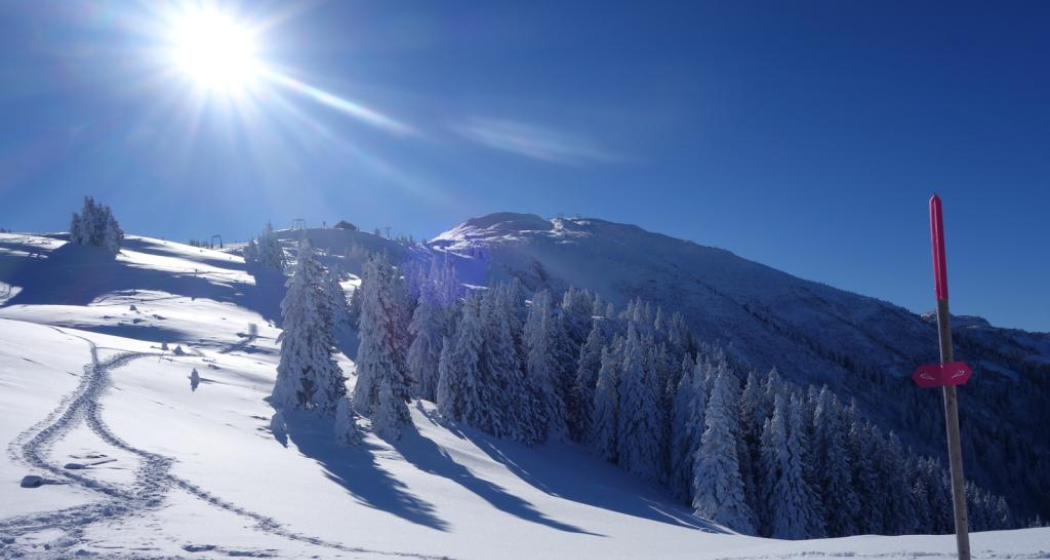
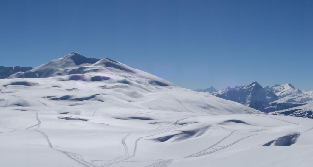
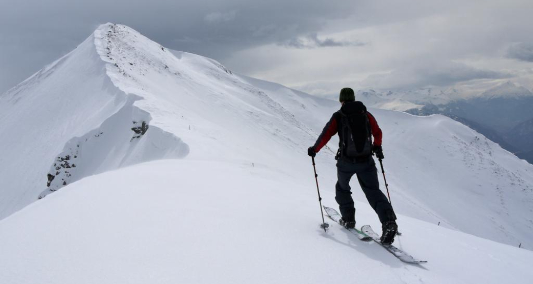
Rewarding ski tour, beginning at the top gondola station in Brambrüesch. Ascent through the forest at first, later on close to the ski slopes up to Furggabüel and the Dreibündenstein high plateau, which is being crossed on the tour (possible to ski down without skins). At appr. 2100m the ascent to the Fulhorn begins. Take care along the ascent since there are steep parts and snow drifts.

Descents are possible to Alp dil Plaun, the ski hut Term Bel and (if enough snow) as far as Domat/Ems in the valley (otherwise at Alp dil Plaun left/southwards to Scheid). The descent through the steep north side in direction of Pradaschier / Churwalden is only for experienced ski tourers and with safe snow conditions. If you would like to descent to Churwalden, you can alternatively use the slopes in the ski area, as well. All ascents and descents are at your own risk.

Directions

Public Transport

Take the train to Chur station. From there, the city bus (line 1) takes 3 minutes to the valley station of the mountain railways (Stadthalle/Brambrüeschbahn stop).

Anreise Information

  • Motorway exit Chur Süd

  • Drive into the city (Kasernenstrasse)

  • The valley station and car park are on the right-hand side in front of the town centre

Parking

More about parking for guests of the Chur mountain railways.

Responsible for this content Brambrüesch.
This content has been translated automatically.

Cross Country Trail Chur Rhine valley

Medium
30.1 km
2:45 h
611 mhd
611 mhd
Trail-Spass in den Wäldern
Abzweigung auf den Trail Richtung Reichenau

Show all 6 images

Trail mit Blick auf den Rhein
This tour offers superb single tracks and is well suited as a veritable cross country training tour.
Technique 3/6
Fitness 3/6
Highest Point  857 m
Lowest Point  559 m
Best Season
Jan
Feb
Mär
Apr
Mai
Jun
Jul
Aug
Sep
Okt
Nov
Dez
Start
Chur, train station
Destination
Chur, train station
Coordinates
46.847544, 9.531373

Details

Description

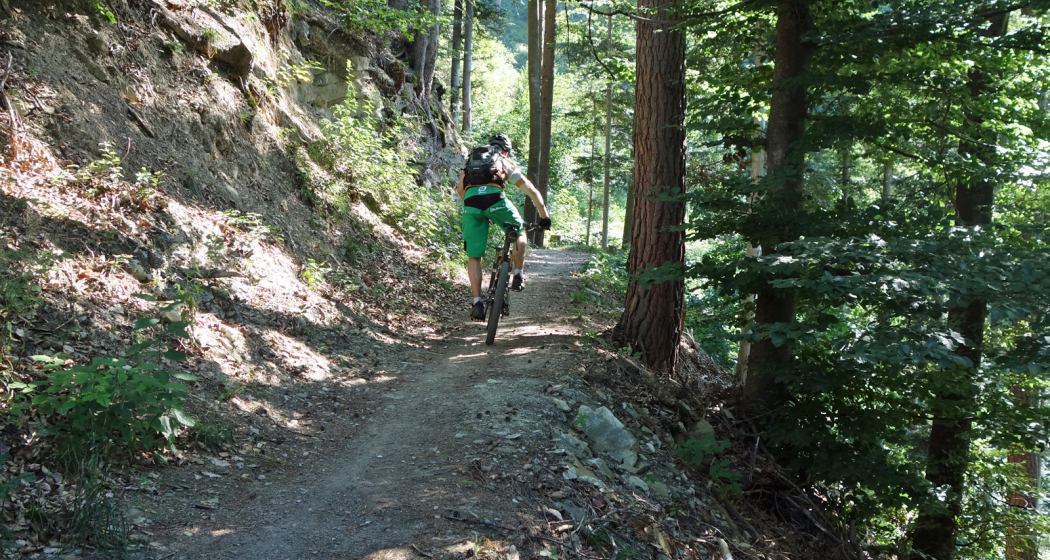
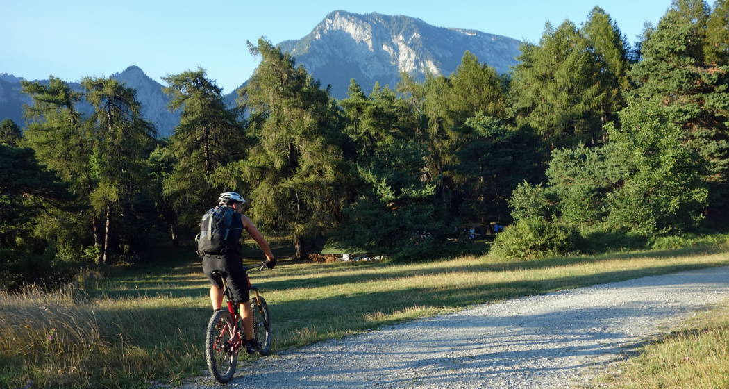
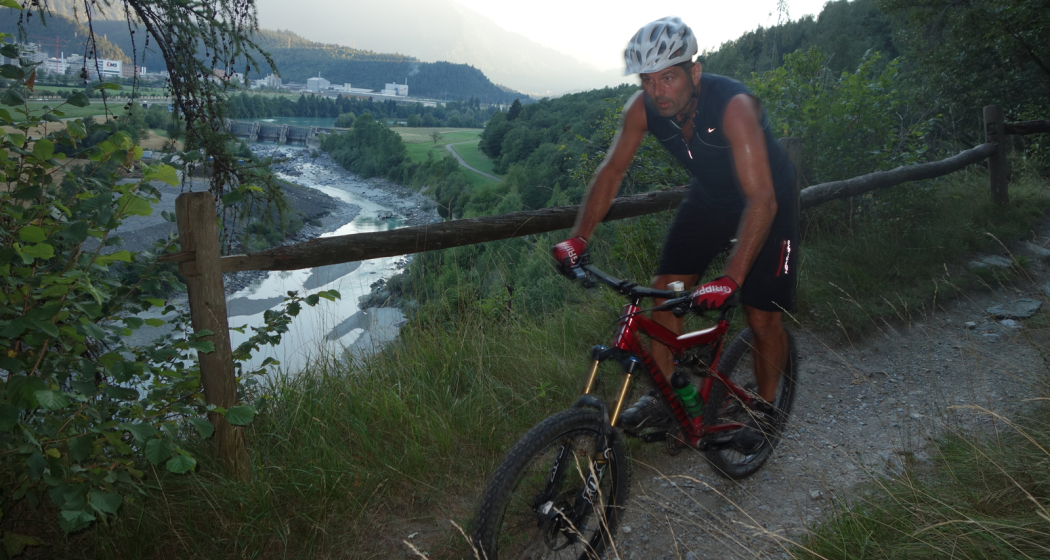
Due to the low elevation, the Chur Rhine valley offers good mountain biking conditions already at the end of winter time until late in the autumn time. The tour combines attractive single tracks with some ascents and descents, as well as panoramic trails.

Along the tour you will get a good view into the diverse scenery of the  Rhine valley and the Alpine City of Chur. At Rei-chenau/Tamins you will cross the Rhine river just where the Vorder and Hinter Rhine confluence.

Directions

Public Transport

The tour starts at the Chur train station.

Responsible for this content Chur Tourism.

Uphill Trail UFFA

Difficult
12.5 km
2:50 h
1295 mhd
254 mhd
Uphill Trail UFFA
Uphill Trail UFFA

Show all 12 images

Uphill Trail UFFA
With 12.5 km and 1'295 vertical meters, this route also offers serious mountain runners a real sporting challenge.
Technique 4/6
Fitness 5/6
Highest Point  1841 m
Lowest Point  589 m
Best Season
Jan
Feb
Mär
Apr
Mai
Jun
Jul
Aug
Sep
Okt
Nov
Dez
Start
Alexanderplatz, City of Chur
Destination
VIVA berg.baiz, Brambrüesch
Coordinates
46.852219, 9.531286

Details

Description

After starting on the Alexanderplatz in the heart of Chur, the Uphill Trail UFFA leads through the picturesque old town of the canton's main town, through the Obergasse and the Obertor up to the Rosenhügel. There, the track changes from asphalt to forest roads and varied (single) trails, which lead up to the first lookout point on Juchs. Over a steep and challenging climb, it goes up to the highest point at Spundisköpf lake, from there on a varied trail over the Spundisköpfe to the mountain station and the finish at the mountain restaurant.

Directions

Public Transport

Take the train to Chur station. From there, the city bus (line 1) takes 3 minutes to the valley station of the mountain railways (Stadthalle/Brambrüeschbahn stop).

Anreise Information

  • Motorway exit Chur Süd
  • Drive into the city (Kasernenstrasse)
  • The valley station and car park are on the right-hand side in front of the town centre

Parking

More about parking for guests of the Chur mountain railways.

Responsible for this content Brambrüesch.
This content has been translated automatically.
Rhäzünser Alp - Heinzenberg - Domleschg

Geschlossen
Difficult
55 km
6:00 h
1585 mhd
1585 mhd
Auf der Rhäzünser Alp
Blick auf Rhäzüns mit der Rhäzünser Alp oberhalb

Show all 7 images

Rhäzünser Alp mit Blick zur gegenüberliegenden Flimser Bergwelt
Extensive bike tour on cultural-historical paths.
Technique 2/6
Fitness 5/6
Highest Point  1771 m
Lowest Point  589 m
Best Season
Jan
Feb
Mär
Apr
Mai
Jun
Jul
Aug
Sep
Okt
Nov
Dez
Start
Reichenau, train station
Destination
Reichenau, train station
Coordinates
46.823982, 9.412735

Details

Description

Many castles and mansions can be found in the Domleschg. Some of them are still inhabited nowadays and used as cultural sites or for catering services (Schloss Tagstein & Schloss Schauenstein), while others are fallen into ruin.

This tour is mainly on asphalted and graveled roads. The first part of the tour takes you to the mountainside of Domleschg with the Bonaduzer and Rhäzünser Alp, the Heinzenberg and wonderful views into the Domleschg and Sa-fien valleys. On the second part you leasurely ride through the handsome villages and scenery of the Domleschg valley. The beautiful Canova lake is a good spot for taking a swim and relaxing at the lakeside. The last section then is on the historical Polenweg, a path above the Rhine river, that has been built by Polish internees during the second world war. At the junction of point 665 take a left and ride back to Reichenau-Tamins, the starting point of the tour.

Responsible for this content Chur Tourism.

Dreibündenstein (Lady Patricia)

Difficult
40.8 km
5:00 h
1500 mhd
1500 mhd
Lady Patricia Trail
Lady Patricia Trail, gegenüber der Calanda

Show all 6 images

Kurz vor der Alp Juchs
This multifaceted and partly challenging day tour has all, what makes mountainbiking so special. The panorama trail with the crash site of "Lady Patricia" is also known as "Bomber Trail".
Technique 4/6
Fitness 5/6
Highest Point  2044 m
Lowest Point  559 m
Best Season
Jan
Feb
Mär
Apr
Mai
Jun
Jul
Aug
Sep
Okt
Nov
Dez
Start
Chur, train station
Destination
Chur, train station
Coordinates
46.817587, 9.50373

Details

Description

This challenging round tour starts at the northern side of the Chur railway station. Through the villages of Felsberg and Domat/Ems you reach the golf course in Domat/Ems. That's where the ascent starts. The mountain road is quite steep and it will take you some power to reach the mountain village of Feldis at 1'500 m. This is the perfect place to recharge your batteries in one of the restaurants.

From Feldis, continue on the level street in direction of Scheid. At point 1498 the next as-cent begins. Follow the paved mountain road up to the Alp di Plaun on 1953 m. At this point you can decide, whether you want to continue on the «Lady Patricia Trail» to Brambrüesch, or branch off and ascent to the Dreibündenstein. To continue on the here suggested route, follow the hiking trail to the ski hut Term Bel, turn right there and after 200 meters the trail branches off to the left side (follow the signal «Lady Patricia»). Before you reach the high route, the ascent continues and in the end you have to push your bike for appr. 10-15 minutes. When you have finally reached the height, a very panoramic and quite technical single track lies before you.

In the middle of the high route, you will find a memorial stone, where 1944 a US bomber has crashed into the mountain. The narrow single track traverses below of the Dreibündenstein. After that part, you come to enjoy the flow on the descent to Spundis. There, the trail branches off to the left and runs fluently at first, later more technical, to the Alp Juchs. From there, the trail continues demanding and challenging, before the last part of the descent will take you with a lot of flow back into the Alpine City of Chur.

Responsible for this content Brambrüesch.

Trailrun LANGA

Difficult
28 km
5:55 h
2140 mhd
1066 mhd
Trailrun LANGA
Trailrun LANGA

Show all 17 images

Trailrun LANGA
The Long Trail LANGA connects the two trails UFFA and OBA and is aimed at 28.2 km and 2,140 vertical meters to complete and well-trained, persevering runners.
Technique 4/6
Fitness 6/6
Highest Point  2158 m
Lowest Point  589 m
Best Season
Jan
Feb
Mär
Apr
Mai
Jun
Jul
Aug
Sep
Okt
Nov
Dez
Start
Alexanderplatz, City of Chur
Destination
VIVA berg.baiz, Brambrüesch
Coordinates
46.852216, 9.53128

Details

Description

Further information on the two individual trails can be found on the separate tours:

Directions

Public Transport

Take the train to Chur station. From there, the city bus (line 1) takes 3 minutes to the valley station of the mountain railways (Stadthalle/Brambrüeschbahn stop).

Anreise Information

  • Motorway exit Chur Süd
  • Drive into the city (Kasernenstrasse)
  • The valley station and car park are on the right-hand side in front of the town centre

Parking

More about parking for guests of the Chur mountain railways.

Responsible for this content Brambrüesch.
This content has been translated automatically.
CampAu Family tour

Simple
22.6 km
1:30 h
135 mhd
135 mhd
CampAu am Rhein-Ufer
Blick auf Reichenau-Tamins und das Churer Rheintal

Show all 3 images

Restaurant beim CampAu
Pleasant family cycling tour at the border of the Rhine river through the villages of the Chur Rhine valley.
Technique 1/6
Fitness 1/6
Highest Point  662 m
Lowest Point  557 m
Best Season
Jan
Feb
Mär
Apr
Mai
Jun
Jul
Aug
Sep
Okt
Nov
Dez
Start
Chur, Campsite Au
Destination
Chur, Campsite Au
Coordinates
46.861849, 9.507594

Details

Description

Start your tour at the campsite Obere Au. Cycle along the Rhine river to the village of Felsberg (in case the path is closed due to military exercises in this area, you can follow the official cycling route no. 2 and 6). The tour takes you then through the villages of Felsberg, Tamins, Reichenau, Domat/Ems and back to Felsberg and Chur. The campsite Obere Au has a playground for children and a restaurant, where you can have a meal and drinks.

Responsible for this content Chur Tourism.

Domleschger Loop

Simple
56.2 km
3:00 h
386 mhd
386 mhd
Schloss Ortenstein
Churer Rheintal

Show all 4 images

Schloss Rhäzüns
Domleschger Loop
Technique /6
Fitness 2/6
Highest Point  777 m
Lowest Point  561 m
Best Season
Jan
Feb
Mär
Apr
Mai
Jun
Jul
Aug
Sep
Okt
Nov
Dez
Start
Chur, Obere Au
Destination
Chur, Obere Au
Coordinates
46.854236, 9.50527

Details

Description

The perfect after-work tour: This mostly flat round trip leads from Chur via the Chur Rhine Valley through the picturesque Domleschg.  Most of the journey leads through gentle hilly landscapes, past wonderful orchards and imposing castles and palaces.

Responsible for this content Chur Tourism.
This content has been translated automatically.