707 Chur Flow: Section 2


Details
Responsible for this content Graubünden Ferien.
Please note: the indoor pool and wellness pool will remain closed until and including 27. June due to the annual maintenance works. All other facilities are open.
Additional infos. Responsible for this content Graubünden Ferien.
By train or bus to the stop Ems Chemie/ Domat-Ems from there on foot to the parking lot Stauwehr (about 15 minutes).
Responsible for this content Chur Tourism.
This content has been translated automatically.
From the train station we follow the Arosa railway line to Meiersboden. In the forest, the path climbs to the Passugg spring. From there, go past the building on the right. After crossing the Rabiosa, the path climbs up to Malix. The trail continues through Malix past the Weisshütte until we finally reach the Känzeli mountain station. We enjoy the descent with a wonderful view of the city of Chur. From the valley station, the route leads through the Welschdörfli back to the train station. Please note the travel times of the Känzelibahn. In Malix, you can also use the post bus for the return journey.
Responsible for this content Brambrüesch.
This content has been translated automatically.
Show all 3 images
If there is enough snow, a skating trail is groomed on the Domat/Ems golf course by the snow groomer, which maintains the Feldis-Domat/Ems toboggan run. The easiest way to get started is at the lumber yard at the end of Via da Munt.
Information on whether the trail is open and groomed can be found under www.snowsport-ems.ch
Responsible for this content Chur Tourism.
This content has been translated automatically.
Show all 6 images
Beautiful and scenic tour with picturesque wooded sections and panoramic views.
From the train station Chur you can reach the valley station of Chur-Dreibündenstein mountain railways either by city bus (line 1, stop Stadthalle) or on foot in about 15 minutes. The hike begins at the summit station of the Brambrüesch cable car. Through picturesque woodland sections the Malix Alp is soon reached. Relatively flat and with wonderful panoramic views you first pass the Galtialp, later the Bärenalp and finally the Pradaschieralp. Several fireplaces for a rest and a magnificent mountain flora accompany the hiker - a real pleasure hike! Soon the mountain station of the Pradaschier-Bahn is reached, where a cozy mountain restaurant with a large sun terrace invites you to a visit. You will reach the village Churwalden by the longest toboggan run in the world, a truly memorable experience! Alternatively, you can reach Churwalden by chair lift or on foot on the hiking trail. From Churwalden the, Postauto will return to Chur within 30 minutes.
For the hike, an attractive round trip ticket is available at the Chur-Dreibündenstein mountain railways, which includes the ascend from Chur to Brambrüesch, two runs with the toboggan run Pradaschier - Churwalden and the return trip by Postauto from Churwalden to Chur.
Option A: From the mountain restaurant Brambrüesch follow the hiking trail to the Malixer Alp and further to the Dreibündenstein. Descent over Grüenenbüel to Pradaschier (hiking time approx. 3 h 15 min.)
Option B: Hiking trail to Churwalden.
From the train station Chur you can reach the valley station of the Chur-Dreibündenstein mountain railways either by city bus (line 1, stop Stadthalle) or on foot in about 15 minutes.
From Basel and Zurich - Chur-Sued (exit no. 17)
From Milano - Lugano - San Bernadino Tunnel - Thusis - Chur.
Guests of the Chur mountain railways park on the Stadthallen parking free of charge. For this purpose, mentioning the plate number at the cash desk is mandatory!
Responsible for this content Brambrüesch.
This content has been translated automatically.
Show all 4 images
From the countryside of Schanfigg to the capital of Grisons - an adventurous hike for bon-vivants.
The easy hike is suitable for young and old. Especially kids love the diverse natural path through the forest. If you feel the hike is too short, you may also prolong it by detouring on the Mittenberg.
The hike lasts almost 2 hours and leads from sunny Maladers through the forest towards the Mittenbergbelt and via the St.Luzi Chapel to the Haldenhüttli (small hut) from where you have a fantastic view over the city.
Comfortable arrival, enjoyable hike
The easy hike from Maladers (1000m) to Chur (600m) is suitable for everyone. With only a 15 minute bus ride from Chur we arrive at the starting point from where we start walking towards Oberdorf. After the first intersecting road we turn left and follow the directional sign to Chur. If you need supplies for the hike or a small souvenir, you might find it at Sina's farm shop. The path to Chur passes the cemetery and leads towards Mittenberg/Kleinwaldegg where it enters the forest. After a while we arrive at the little chapel St.Luzi. From there it is not far until we reach the Haldenhüttli (small hut) in the vineyards above Chur.
Author: Hansjürg Gredig, ZHAW Life Sciences and Facility Management
Sina's farm shop for a souvenir
Author: Hansjürg Gredig, ZHAW Life Sciences and Facility Management
The hike lasts almost 2 hours and leads from sunny Maladers through the forest towards the Mittenbergbelt and via the St.Luzi Chapel to the Haldenhüttli (small hut) from where you have a fantastic view over the city.
Comfortable arrival, enjoyable hike
The easy hike from Maladers (1000m) to Chur (600m) is suitable for everyone. With only a 15 minute bus ride from Chur we arrive at the starting point from where we start walking towards Oberdorf. After the first intersecting road we turn left and follow the directional sign to Chur. If you need supplies for the hike or a small souvenir, you might find it at Sina's farm shop. The path to Chur passes the cemetery and leads towards Mittenberg/Kleinwaldegg where it enters the forest. After a while we arrive at the little chapel St.Luzi. From there it is not far until we reach the Haldenhüttli (small hut) in the vineyards above Chur.
Author: Hansjürg Gredig, ZHAW Life Sciences and Facility Management
Responsible for this content Graubünden Ferien.
This content has been translated automatically.
Show all 3 images
This tour includes the descent on the "Alter Schin", a road high above the Albula Gorge into the steep mountain flank, connecting the rear Rhine Valley with the Lenzerheide holiday region. Via Lain and Muldain you reach this partly vertiginous trade route from the Middle Ages. The tour then leads through spectacular rock tunnels and tranquil villages such as Scharans and Tomils down to Domleschg with its southern charm. On the way, many different inns invite you to take a breather. The long round to Chur continues on agricultural side roads and cycle paths before an ascent via the "Polenweg" to Churwalden and then via Salez and the Mittelberg back to Parpan and Lenzerheide. A bit of endurance is required on the day trip, but the technical difficulties are limited.
In the village the free sports bus is available.
From Milano - Lugano - San Bernadino Tunnel - Thusis - Chur (exit Lenzerheide) - Lenzerheide.
Responsible for this content Graubünden Ferien.
This content has been translated automatically.
Show all 5 images
The bike tour to the Mittenberg is a classic in Chur. From the city centre, the ascent leads to the Fürstenwald forest and along the forest road towards Mittenberg. The downhill variant via Nasstobel-Sand, on the other hand, is less well known. Via a beautiful single trail and the flowing high-level trail towards Maladers you reach the somewhat hidden entrance to the Nasstobel Trail. The entrance is exposed and narrow, so it is a good idea to get off the bike here. After the first challenging hairpin bends the character changes and the path leads relatively flat and flowy downwards (in between there are even a few hand-shaped curves and jumps). The first section ends at the junction with the road. Here you drive uphill for a short time and already the entrance to the second section, the sand trail, follows on the right. A varied single trail with a hairpin derby at the end (which can also be avoided). In the old town you can finish the tour with pleasure.
Responsible for this content Chur Tourism.
This content has been translated automatically.
Show all 8 images
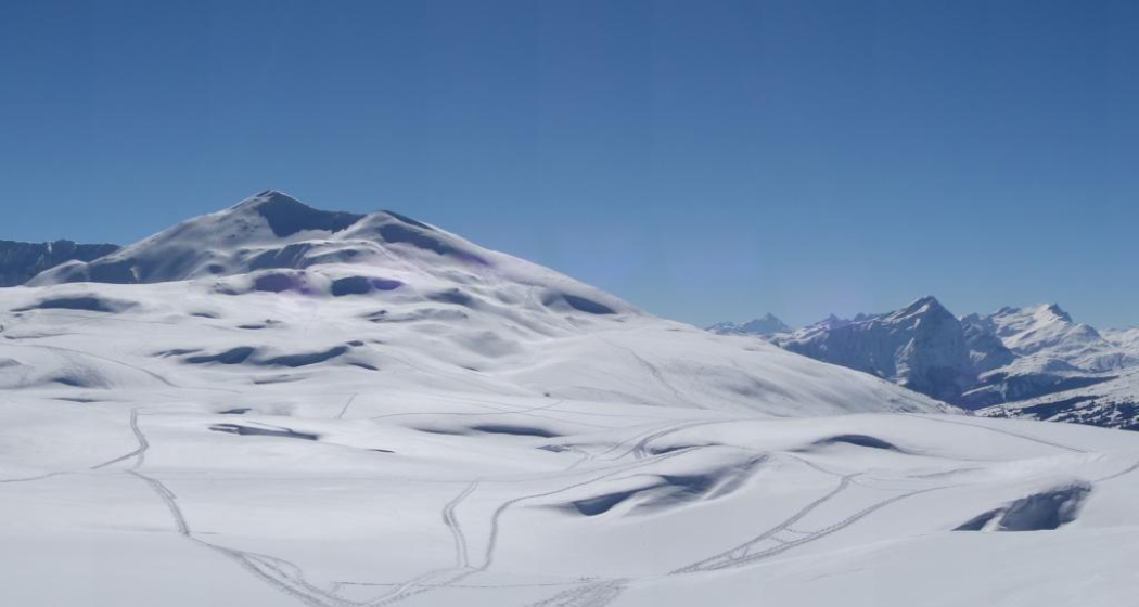
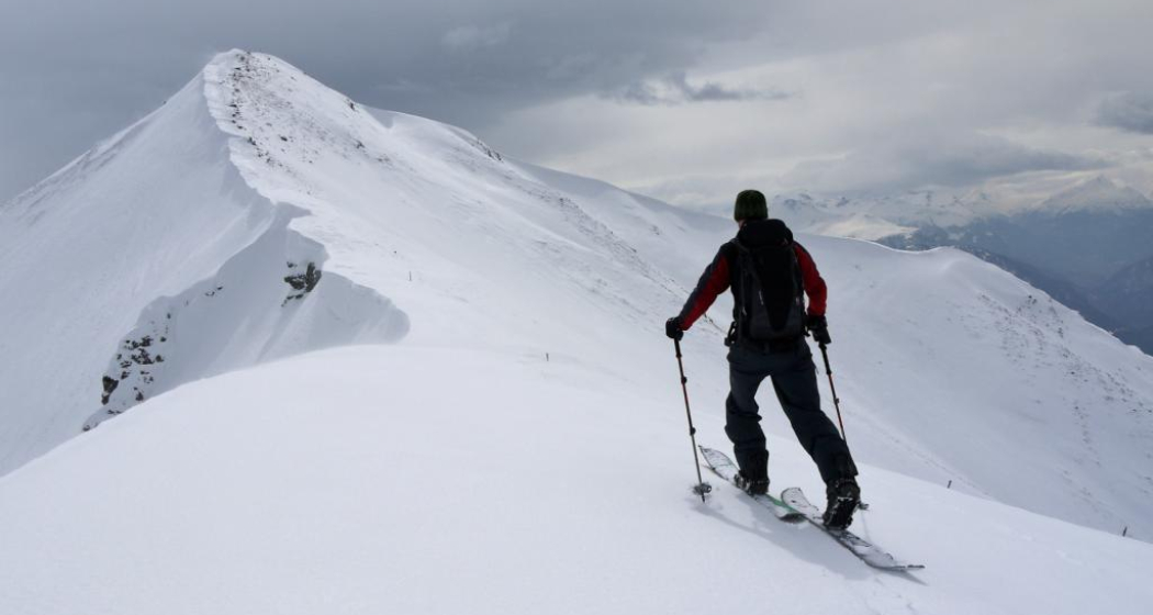
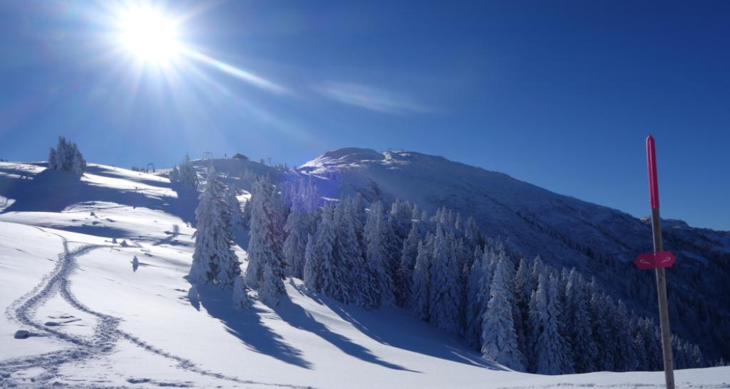
Rewarding ski tour, beginning at the top gondola station in Brambrüesch. Ascent through the forest at first, later on close to the ski slopes up to Furggabüel and the Dreibündenstein high plateau, which is being crossed on the tour (possible to ski down without skins). At appr. 2100m the ascent to the Fulhorn begins. Take care along the ascent since there are steep parts and snow drifts.
Descents are possible to Alp dil Plaun, the ski hut Term Bel and (if enough snow) as far as Domat/Ems in the valley (otherwise at Alp dil Plaun left/southwards to Scheid). The descent through the steep north side in direction of Pradaschier / Churwalden is only for experienced ski tourers and with safe snow conditions. If you would like to descent to Churwalden, you can alternatively use the slopes in the ski area, as well. All ascents and descents are at your own risk.
Take the train to Chur station. From there, the city bus (line 1) takes 3 minutes to the valley station of the mountain railways (Stadthalle/Brambrüeschbahn stop).
Motorway exit Chur Süd
Drive into the city (Kasernenstrasse)
The valley station and car park are on the right-hand side in front of the town centre
More about parking for guests of the Chur mountain railways.
Responsible for this content Brambrüesch.
This content has been translated automatically.
As part of the 2nd Legends and Fairy Tale Days Chur, a guided hike to the Grottenstein castle ruins will take place on 25 November 2018 at 10 a.m. with exciting stories from the local world of legends, treasure-guarding cave fairies, enchanted toads and the golden skittles... The stories are mysteriously interwoven with the direct experience of nature in the wintry mountain forest and in the enigmatic cave castle, where the campfire makes twitching shadows dance on the rock faces.
The ruins of Grottenstein Castle are located above Haldenstein. Little is known about its history, but a spring in the castle cave indicates a possible use as a refuge in times of need. Contrary to expectations, the name Grottenstein does not derive from the word Grotte in the sense of cave. Rather, the cave castle was originally called Chrottenstein, where Chrott means "toad". The reference to the toad now allows for completely different associations. The coinage as a toad place as well as local legends of a white maiden who guards sunken treasures and guards unborn souls inside the mountain, build mysterious bridges to mythology. In numerous legends, the toad and the white maiden appear as contrasting manifestations of the same entity, which often guards a hidden treasure of gold in caves and castle ruins. The auspicious treasure of gold is analogous to the basic maxim of alchemy, but is to be understood above all as a symbol for an inner treasure of the soul, an essential step in development or a realization.
Responsible for this content Chur Tourism.
This content has been translated automatically.


