discover.swiss ID
osm_1684184
discover.swiss Additional Type
City

Stage 6 Gravel Bike Route Hinterrhein: Splügen – Chur

Geschlossen
Medium
58.4 km
4:25 h
547 mhd
1445 mhd
Viamalaschlucht
Rofflaschlucht

Show all 4 images

Capuns
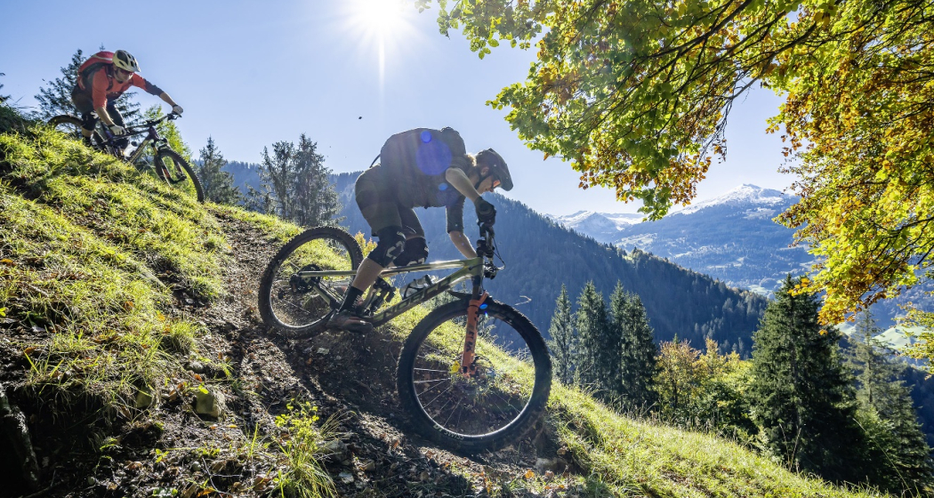
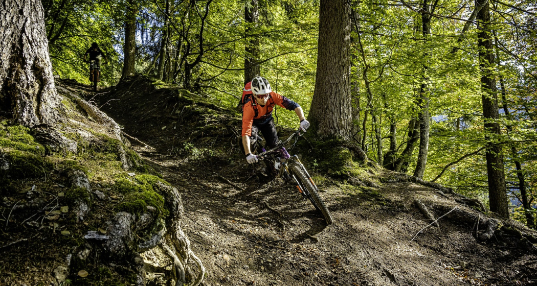
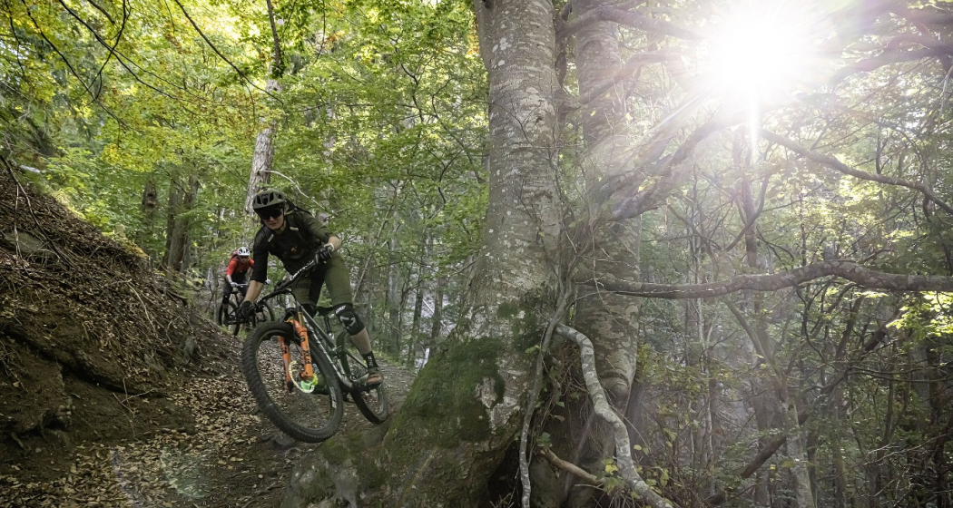
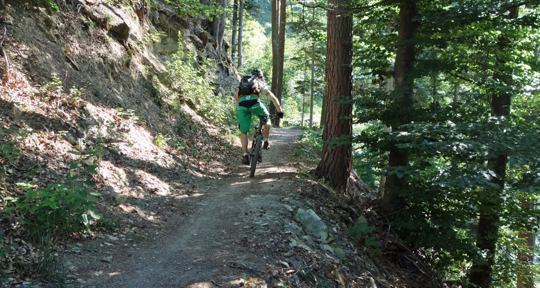
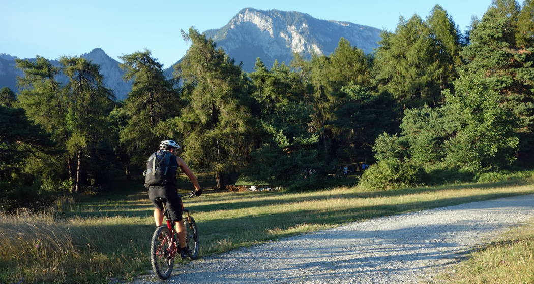
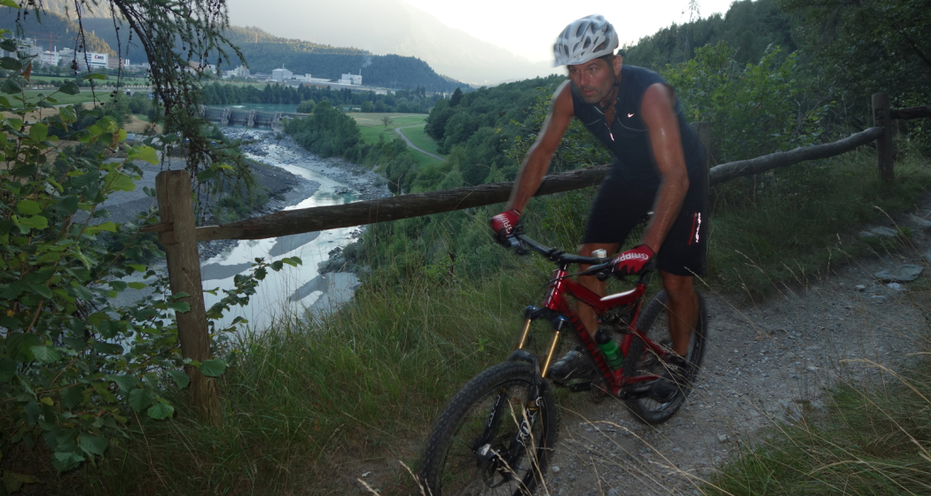
Deep ravines, impressive panoramic views and witnesses to the history of Graubünden’s transport routes await discovery at the Posterior Rhine.
Technique 3/6
Fitness 3/6
Highest Point  1653 m
Lowest Point  559 m
Best Season
Jan
Feb
Mär
Apr
Mai
Jun
Jul
Aug
Sep
Okt
Nov
Dez
Start
Splügen
Destination
Chur
Coordinates
46.551852, 9.322787

Details

Description

You’ll leave Splügen (1458 m above sea level) on cycle route no. 505 "Rheinwaldroute" down the valley. At first, the road heads a few meters in the direction of Splügen Pass.

In the first bend, you’ll turn left and reach a short but steep climb through the Fugscht forest (1589 m above sea level). A rapid descent brings you to the Sufnersee, whose water shines turquoise. On the Northern shore of the lake, you’ll take the little-traveled road in the direction of Roflaschlucht (gorge). Even from the road, you’re guaranteed great views of the wild canyon. Through Bärenburg (1040 m above sea level), you’ll take a side road to Pignia. From here, a nature trail leads to Zillis (945 m above sea level). An insider's tip is Capun's, a local specialty - prepared by the Swiss Capuns champion at the hotel Post. Strengthened from the food the route leads you over Reischen (1024 meters) through the Viamala gorge to Thusis (680 m above sea level). Cycle route no. 6 takes you along the Posterior Rhine through the Domleschg. In Reichenau, where the Anterior Rhine merges the Rhine Anterior, change onto the Rheinrad route no. 2 and a comfortable ride back to Chur (593 m above sea level).

Stages

Overall route: Chur  – Chur

Stage 1: Chur – Thusis

Stage 2: Thusis – Glaspass – Thusis

Stage 3: Thusis – Andeer

Stage 4 Andeer – Lai da Vons – Splügen

Stage 5. Splügen – Splügen

Stage 6. Splügen – Chur

Responsible for this content Graubünden Ferien.
This content has been translated automatically.

Hut tour Surselva Vrin - Tamins (stage 3)

Geschlossen
Medium
75.1 km
8:50 h
1891 mhd
2760 mhd
Hüttentour Surselva Vrin - Tamins (Etappe 3)

Show all 4 images

Casa Leon Vrin
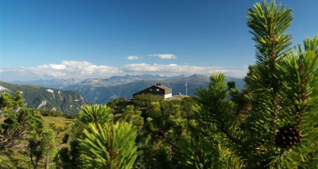
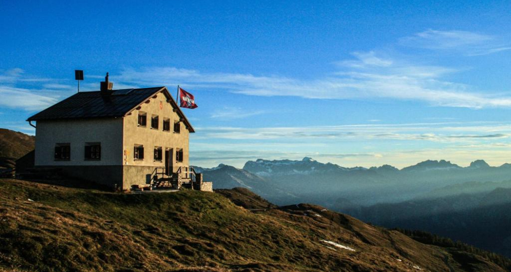
The third stage is the Pièce de Résistance of the Surselva hut tour. But the key data are more frightening than the stage actually is – especially since the route can also be significantly shortened at the end.
Technique 3/6
Fitness 3/6
Highest Point  2410 m
Lowest Point  591 m
Best Season
Jan
Feb
Mär
Apr
Mai
Jun
Jul
Aug
Sep
Okt
Nov
Dez
Start
Vrin
Destination
Tamins
Coordinates
46.655254, 9.098761

Details

Description

Initially, you roll from Vrin down to Surin and follow the signposted mountain bike route via Surcasti to Uors. Here it is worthwhile to take the post bus for the ascent to Vals. This saves "only" 320 meters in altitude, but still! Because on the third stage of the Surselva hut tour, it is important to save energy for the upcoming ascent up to the Tomül Pass. To do this, you follow the signposted mountain bike route (Alpine Bike), first on asphalt, then on gravel and after the ridge on an easily rideable single trail. On the last section after Alp Tomül, there is always a pushing section to do, unless you have strength in your calves like Nino Schurter - or an e-bike. But the pushing is not in vain, because the upcoming section through the Safiental is one of the longest mountain bike descents in the Alps with almost 40 kilometres. The first part leads along the historic mule route down to Safien Thalkirch. Now you change to the road with little traffic and later pass the village of Safien Platz. Leave the road at the Rainmatte, follow the Rabiusa stream, pass the reservoir and then climb a few metres on the right side of the valley to finally reach the old Safierstrasse. Today, only one single trail remains of the road, so for mountain bikers it is a fantastic section through enormously steep terrain. The route here is interspersed with small tunnels. Later, the path widens again and you roll out of the valley on a small road to Sigl Ault.

At Sigl Ault, the wheat is separated from the chaff on the final stage of the Surselva hut tour: If you don't have any strength left, you roll down to Bonaduz and get on the train here for the return journey to Chur. But the original route still has a few highlights to offer. The section after the Sigl Ault is an unparalleled trail treat and leads high above the Rhine Gorge to the Versamerstrasse. Here is the next opportunity to end the stage with the flat ride to Bonaduz. But here, too, there is still something to experience on the original route, because the upcoming single trail section past the ruins of Wackenau is no less attractive than the previous trail over the Rhine Gorge. This way you get to Reichenau and get on the train back to Chur. So much for the recommended version for the third stage of the Surselva hut tour.

Geheimtipp

If you still haven't had enough in Reichenau, follow the cycle path from Tamins in the direction of Chur and then change to the trail near the left bank of the Rhine before Felsberg. This trail leads to the Rossboden army site, from where you roll along the cycle routes to Chur train station.

Responsible for this content Graubünden Ferien.
This content has been translated automatically.

Hüttentour Surselva (3 Etappen)

Medium
161 km
21:30 h
5158 mhd
5642 mhd
Hüttentour Surselva
Hüttentour Surselva

Show all 8 images

Hüttentour Surselva
The Surselva, i.e. the Bündner Oberland, has a lot to offer in terms of mountainbiking, especially in the lowest region around Laax and Ilanz. On the three-day Hüttentour through the alpine mountain world of the Surselva, two of the most extraordinary mountain huts are approached: the Ustria Staila in Siat and the Péz Terri in Vrin. But the route also has class when it comes to trails. With the Flimserwald, the singletrail descent from Siat, the Val Lumnez and the Tomül Pass, some of the really big but little-known trail highlights of Graubünden are on the schedule.
Technique 3/6
Fitness 3/6
Highest Point  2412 m
Lowest Point  585 m
Best Season
Jan
Feb
Mär
Apr
Mai
Jun
Jul
Aug
Sep
Okt
Nov
Dez
Start
Flims
Destination
Tamins
Coordinates
46.836478, 9.284353

Details

Description

The Hüttentour Surselva is a three-day mountainbike tour in the region between Chur, Flims and Vals. The ascents are primarily mastered under one‘s own power and lead over well rideable paths. The up hill to Vals is covered by post bus. The descents are mainly on singletrails that can be ridden smoothly, but experience in alpine mountainbiking is an advantage. On the Hüttentour, all luggage for three days is in the backpack, no luggage transport is possible. However, the selected huts have hotel standard.

Starting place: The Hüttentour Surselva starts in Flims. Ideally, you travel by car or public transport to Chur and get from there by post bus to Flims. Mountainbikes can be taken along without any problems, each post bus has a rear rack for up to five bikes.

E-Mountainbike: The Hüttentour Surselva is also easily doable with the e -mountainbike. However, experience in battery management is necessary to reach the stage destination with one charge. In the huts are sockets available to charge the battery. However, it is important to bring your own charger.

Responsible for this content Graubünden Ferien.
This content has been translated automatically.

Fireplace Tamins

Fireplace Benis Boden

Feuerstelle Benis Boden
Fireplace Benis Boden

Description

This fireplace is located on the Benis ground and can be reached on foot or by bike from Tamins, Domat/Ems or Felsberg. The barbecue area is separated by a fence so as not to be disturbed by the grazing cows. To ensure that they do not eat the waste of the visitors, the waste must be taken away again. With the available firewood and grate, you can start barbecuing immediately after arrival. There is no playground, but the hilly landscape is still suitable for children and dogs to play. You have to bring your own drinking water.

Contact

Fireplace Benis Boden

Benis Boden, 7015 Tamins

Responsible for this content Chur Tourism.
This content has been translated automatically.

City Tamins

Tamins

Reichenau-Tamins
Zusammenfluss des Rheins

Show all 5 images

Schloss Reichenau
Tamins and Reichenau are two villages that for most people have merged into one over time, located an the juncture of Vorder and Hinter Rhine. The Rhaetian Railway station where the lines to Surselva valley and to central Graubünden separate isn't called Reichenau-Tamins for nothing. Kunkels Pass is a well-known location for mountain bikers from near and far. The peak of Ringelspitze is the top of Tamins at 3,247 metres above sea level. Tamins shares its peak with the neighbouring village of Trin and with the canton of St. Gallen across the pass.

Description

The uniquely sunny location makes Reichenau and Tamins a fantastic place to live. Inhabitants profit from a well-developed infrastructure and modern school facilities. Locals and tourists alike find excellent public transport links. Tamins is located along the main north-to-south traffic axis, the A13 motorway.

The natural landscape around Tamins is one of a kind, with many hiking trails through forests and meadows and a diverse flora and fauna. The diversity of nature's beauty knows no bounds in this wonderful area. The unique oak forest, the adjacent rough pastures and the dry landscapes are of national importance. The natural reserve Rattena is characterised by its species-rich hedges, old deciduous trees, dry walls and reptile habitats, ponds and the Valtonis creek. The adjacent forests also have an impressive biodiversity. More than 20 different species of deciduous trees can be found here, amongst them some "exotic" species like the downy oak and the chestnut tree. The entire area is integrated into the Eichwald forest reserve. An exciting nature learning trail introduces visitors to the beauty and the inner workings of this unique landscape.

Where earth meets the skies, atop the Kunkels Pass at 1,357 metres above sea level, the municipality of Tamins owns the mountain restaurant "überuf. Here, hikers and cyclists can refill their batteries, for example with locally produced cheese from the alp at "überuf". For mountaineers wanting to climb up to Ringelspitze, the Ringelspitz cabin offers shelter and an ideal starting point for the expedition.

History

Excavations at burial sites suggest that the area has been inhabited since the Iron Age (around 500 BCE). The Romans were here, too, witnessed by a number of graves and Roman coins that were found top the Kunkels Pass. The grave of an Alemannic warrior suggests that the area remained settled after the fall of the Roman empire. The first written sources mentioning Tamins date back to 1399. In 1540, the parish adopted the Reformation. The village was repeatedly devastated by fires, for instance in the years 1616 and 1631. In 1799, it was set ablaze during the French invasion. The last great fire occurred in 1905.

Reichenau

The name Reichenau goes back to the monastery of the same name at Lake Constance which purchased property in this area during the early Middle Ages. Reichenau Castle was probably built when the seat of the house of Schauenstein was moved to Reichenau in the early 17th century. Around 1755, the residential buildings and workshops in the castle were extended under supervision of Johann Anton Buol.

In 1793 Johann Baptista von Tscharner's educational institution called "Philanthropinum" moved to Reichenau Castle. Teachers like Johann Peter Nesemann and Johann Heinrich Zschokke made the school a renowned institution until its end in 1798. Even Louis-Philippe I, later king of France, thought at Reichenau Castle for some time, adopting the pseudonym "Monsieur Chabos". In 1820 the castle came into possession of the Planta family who gave it its current appearance. Especially noteworthy are the dining room and a small hall in the garden wing.

Kunkels Pass

A particular challenge for bikers is the Kunkels Pass leading to Tamina valley, itself part of the canton of St. Gallen. In old times the route was often used by smugglers trying to avoid tolls around Chur and elsewhere, but it was also an alternate route whenever the Rhine flooded or bridges spanning it had collapsed. 

Rhine gorge

Tamins is the gate to the fascinating world of the Rhine gorge at Ruinaulta. (For water sports, it's the destination!) It is one of the greatest and most diverse landscapes of the Alps. A wild gorge with a raging river, white cliffs and vast forests. Quiet lakes are filled as if by magic and rare birds breed in the forests along the river. Even orchids can be found in this little Paradise. The Ruinaulta is also easy to discover and explore on your own. In the forests and along the Rhine you will find a dense network of hiking trails, various cycling routes and beautiful rest areas. Three stations of the Rhaetian railway (Trin, Versam-Safien and Valendas-Sagogn) are located at either entrance and even in the middle of the Rhine gorge. Those wanting to get to know the Rhine gorge intimately can do so riding on the waves of the river. Ruinaulta offers one of Europe's most exciting routes for canoeing, kayaking and river rafting!

Contact

Responsible for this content Chur Tourism.

Castle Tamins

Reichenau Castle

Weinbau von Tscharner · Schloss Reichenau
The location of Reichenau Castle at the confluence of the Vorder and Hinterrhein rivers is unique.

Description

Reichenau castle lies at the birthplace of the Alpine Rhine, where the two arms of the Rhine join together. Built in the 16th century by the clergy family Schauenstein, the castle looks back on a long and eventful history. At one time it even housed the last King of France.

Today, the historic building serves as a winery for the Tscharner family. Visit and meet wine producer Gian Battista von Tscharner and his smooth, honest wines during a castle tour with wine tasting.

Contact

Responsible for this content Chur Tourism.

Benis Ground Round

Medium
5.1 km
0:55 h
209 mhd
209 mhd
Benis Boden Runde (oua_57507259_1aa175f_profile)
Benis Ground Round
Technique /6
Fitness 3/6
Highest Point  795 m
Lowest Point  586 m
Best Season
Jan
Feb
Mär
Apr
Mai
Jun
Jul
Aug
Sep
Okt
Nov
Dez
Start
Parking Stauwehr Domat/Ems
Destination
Parking Stauwehr Domat/Ems
Coordinates
46.835052, 9.433794

Details

Directions

Public Transport

By train or bus to the stop Ems Chemie/ Domat-Ems from there on foot to the parking lot Stauwehr (about 15 minutes).

Parking

Free parking is available at axpo's run-of-river hydropower plant (weir).

Responsible for this content Chur Tourism.
This content has been translated automatically.

Cross Country Trail Chur Rhine valley

Medium
30.1 km
2:45 h
611 mhd
611 mhd
Trail-Spass in den Wäldern
Abzweigung auf den Trail Richtung Reichenau

Show all 7 images

Trail mit Blick auf den Rhein
This tour offers superb single tracks and is well suited as a veritable cross country training tour.
Technique 3/6
Fitness 3/6
Highest Point  857 m
Lowest Point  559 m
Best Season
Jan
Feb
Mär
Apr
Mai
Jun
Jul
Aug
Sep
Okt
Nov
Dez
Start
Chur, train station
Destination
Chur, train station
Coordinates
46.847544, 9.531373

Details

Description

Due to the low elevation, the Chur Rhine valley offers good mountain biking conditions already at the end of winter time until late in the autumn time. The tour combines attractive single tracks with some ascents and descents, as well as panoramic trails.

Along the tour you will get a good view into the diverse scenery of the  Rhine valley and the Alpine City of Chur. At Rei-chenau/Tamins you will cross the Rhine river just where the Vorder and Hinter Rhine confluence.

Directions

Public Transport

The tour starts at the Chur train station.

Responsible for this content Chur Tourism.

Experience the Cabins high above the Chur Rhine Valley

Medium
29.2 km
12:25 h
2285 mhd
2179 mhd
Ringelspitzhütte
Calandahütte SAC

Show all 9 images

Blick vom Rossboden auf den Felsberger Calanda
Three-day hike along the fascinating mountain ranges of Calanda and the Ringelspitz massif, which is part of the UNESCO World Heritage Site Sardona.
Technique /6
Fitness 4/6
Highest Point  2084 m
Lowest Point  552 m
Best Season
Jan
Feb
Mär
Apr
Mai
Jun
Jul
Aug
Sep
Okt
Nov
Dez
Start
Haldenstein, station
Destination
Tamins, village
Coordinates
46.876883, 9.530665

Details

Description

The impressive alpine hut hike, rich in experiences and views, begins in the Chur Rhine Valley, in the village of Haldenstein opposite Chur. The mighty Calanda massif towers imposingly in front of the Alpine City. You can enjoy a gentle ascent into the beautiful nature and the view becomes more and more impressive the higher you climb. The ascebt to the Calanda hut is about 1,500 metres. Those who still have energy left at the top can also master the ascent to the summit of Haldensteiner Calanda. This is another 800 metres of altitude difference, but the panoramic view is more than worth it.

The next day, one crosses from the hut over the Felsberger and Taminser Älpli to the historic Kunkelspass. An ideal place to strengthen yourself in the Überruf mountain restaurant. One is now officially in the perimeter of the UNESCO World Heritage Sardona and can inform in detail about it in the information room next to the restaurant. The ascent to the Ringelspitzhütte follows, from where you have a great view of the UNESCO World Heritage Site and the clearly visible Glarus main thrust at the Ringelspitz summit. After the second overnight hut stay the descent follows through the picturesque Lavoitobel, which is characterised by alpine rocky landscapes and the idyllic Lavoi stream. Further down follows a leisurely descent through secluded forests until you finally reach the Rhine Valley again and the village of Tamins. From there you can easily reach the city of Chur and the main railway station for the return journey by bus.

Responsible for this content Chur Tourism.

Rhäzünser Alp - Heinzenberg - Domleschg

Geschlossen
Difficult
55 km
6:00 h
1585 mhd
1585 mhd
Auf der Rhäzünser Alp
Blick auf Rhäzüns mit der Rhäzünser Alp oberhalb

Show all 8 images

Rhäzünser Alp mit Blick zur gegenüberliegenden Flimser Bergwelt
Extensive bike tour on cultural-historical paths.
Technique 2/6
Fitness 5/6
Highest Point  1771 m
Lowest Point  589 m
Best Season
Jan
Feb
Mär
Apr
Mai
Jun
Jul
Aug
Sep
Okt
Nov
Dez
Start
Reichenau, train station
Destination
Reichenau, train station
Coordinates
46.823982, 9.412735

Details

Description

Many castles and mansions can be found in the Domleschg. Some of them are still inhabited nowadays and used as cultural sites or for catering services (Schloss Tagstein & Schloss Schauenstein), while others are fallen into ruin.

This tour is mainly on asphalted and graveled roads. The first part of the tour takes you to the mountainside of Domleschg with the Bonaduzer and Rhäzünser Alp, the Heinzenberg and wonderful views into the Domleschg and Sa-fien valleys. On the second part you leasurely ride through the handsome villages and scenery of the Domleschg valley. The beautiful Canova lake is a good spot for taking a swim and relaxing at the lakeside. The last section then is on the historical Polenweg, a path above the Rhine river, that has been built by Polish internees during the second world war. At the junction of point 665 take a left and ride back to Reichenau-Tamins, the starting point of the tour.

Responsible for this content Chur Tourism.